|
 |
 |
 |
|
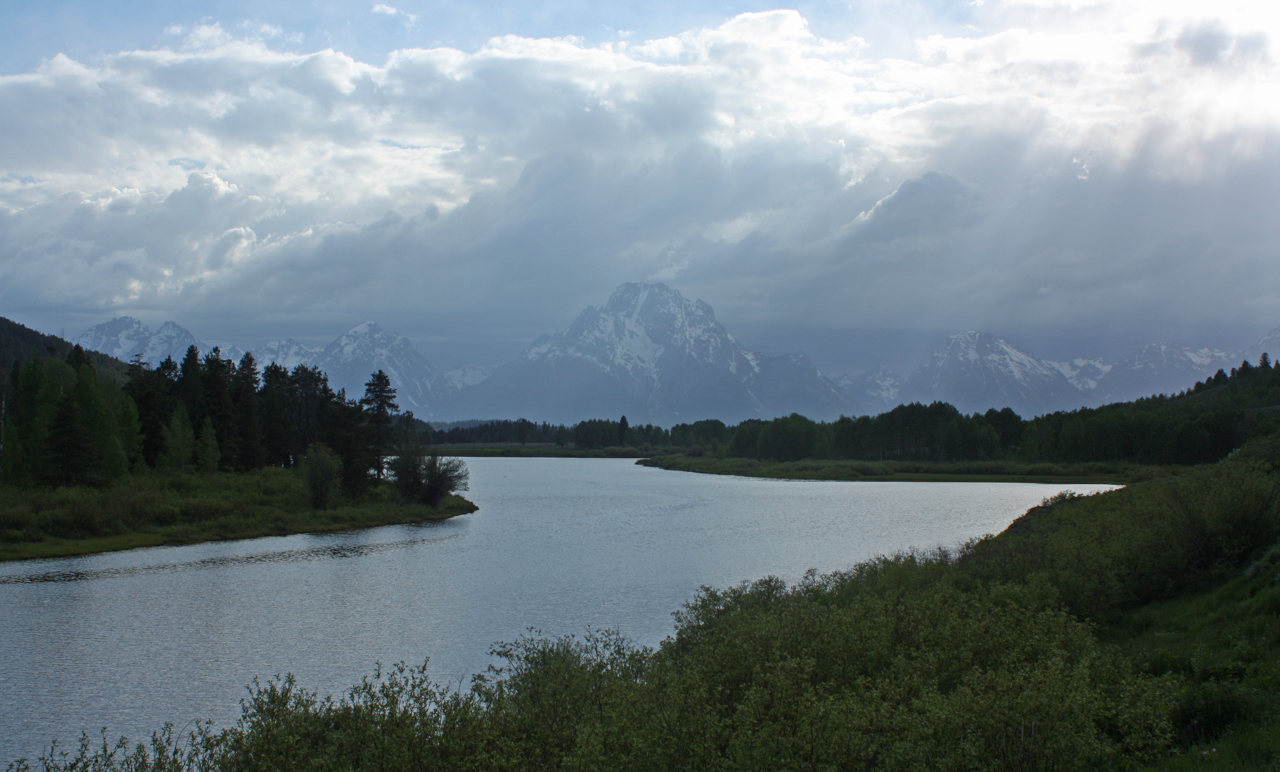
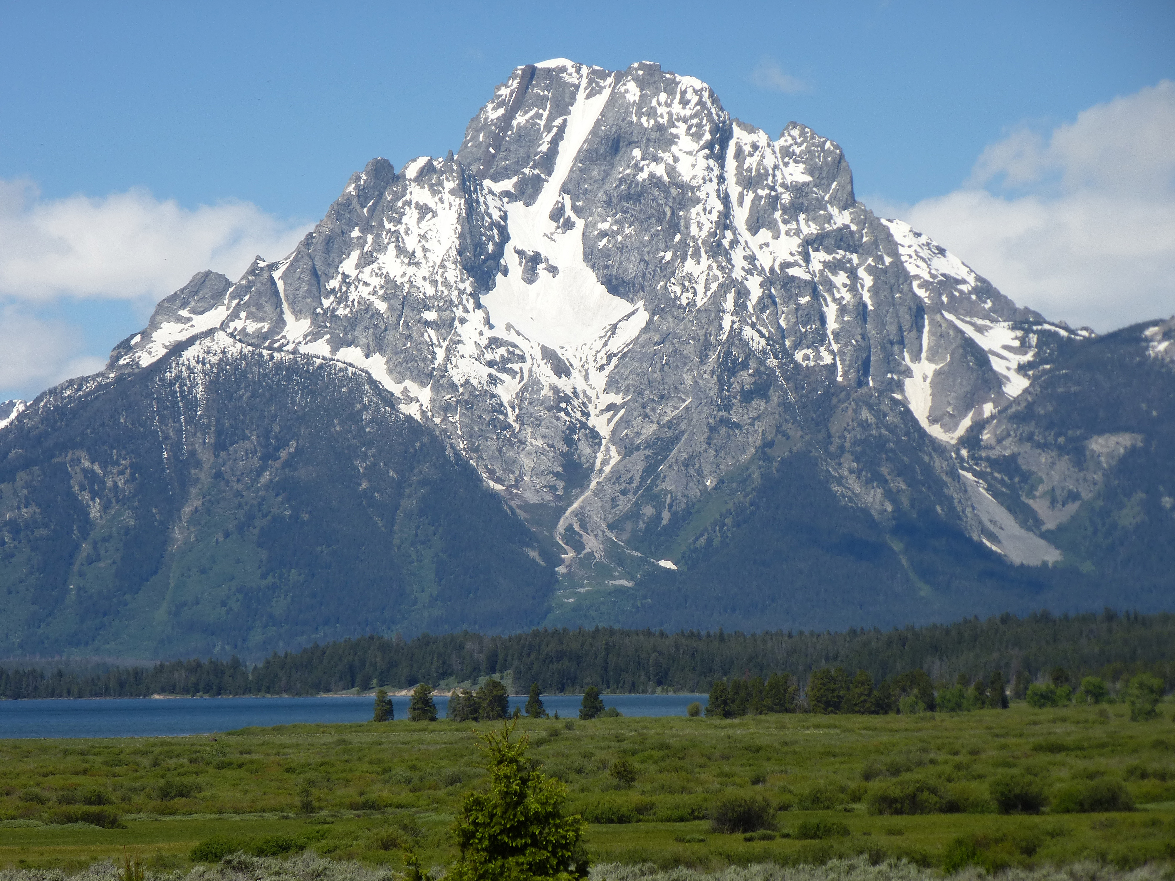
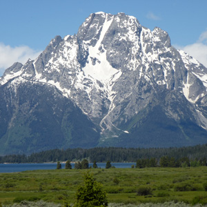
Mount Moran in the late afternoon, June 14th. Oxbow Bend Turnout. |
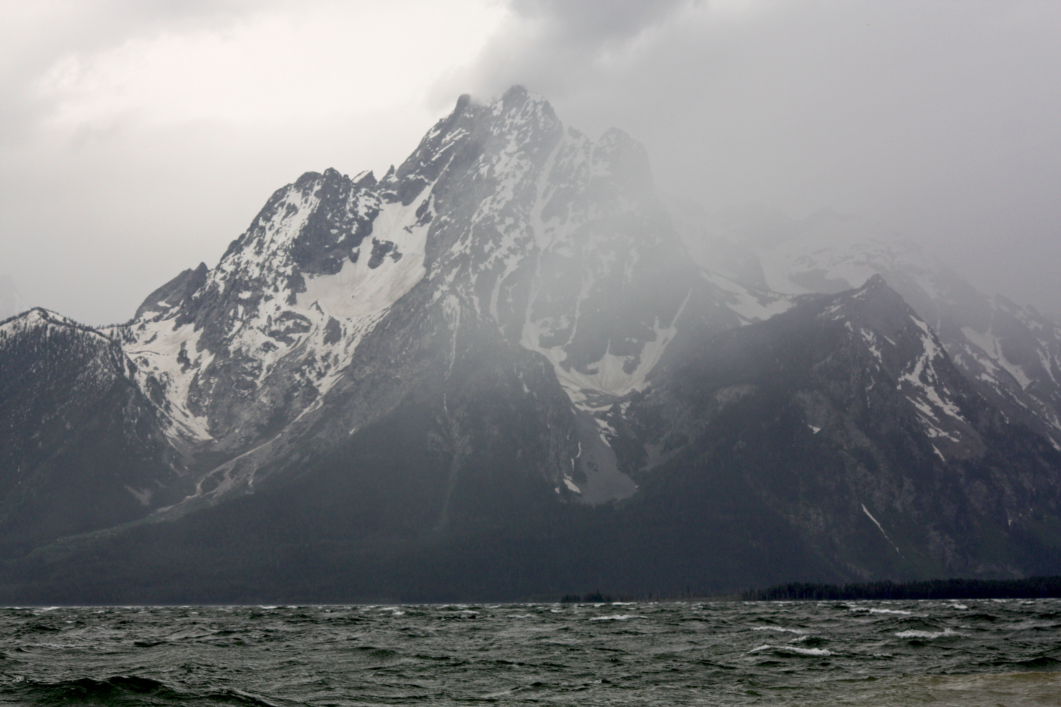
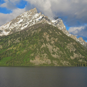
Mount Moran seen from Jackson Lake near Colter Bay in the evening of June 14th as a storm approached from the south. |
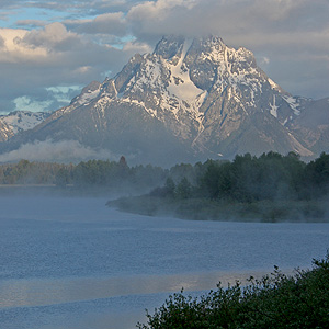
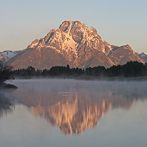
Mount Moran seen just after dawn in the morning of June 15th. The temperature was just at freezing. Oxbow Bend Turnout. |
|
 |
 |
 |
|
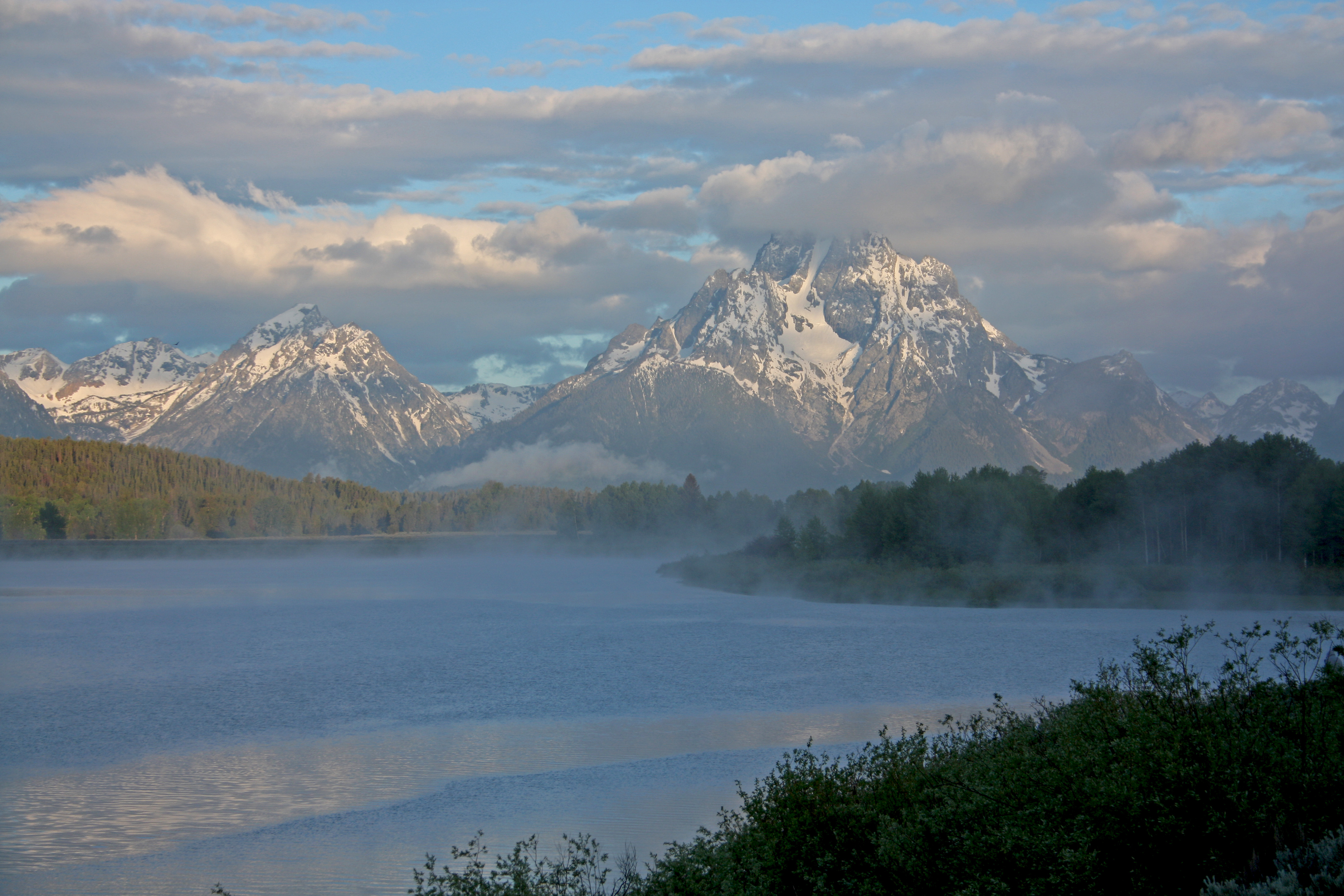
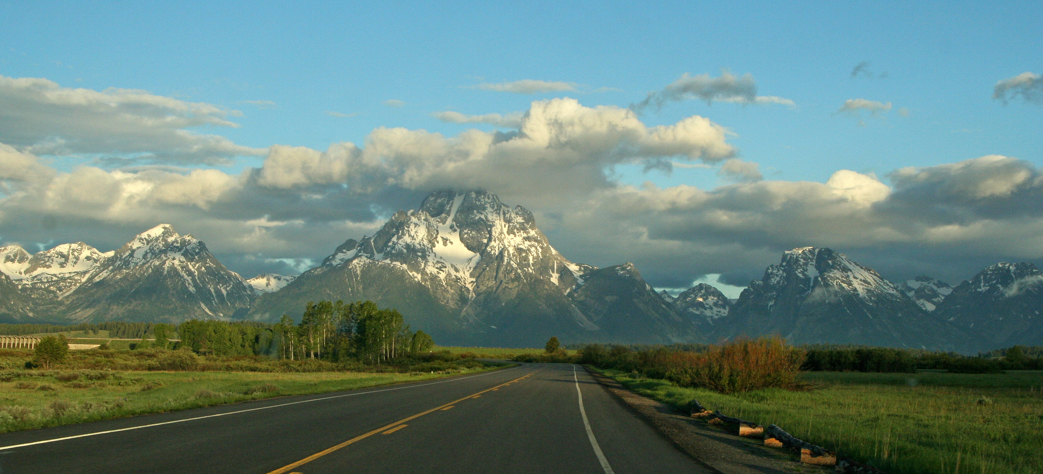
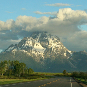
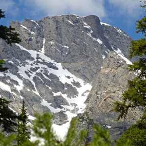
Early morning view of Mt Moran on June 14th. From road approaching Jackson Lake Dam. |
Morning view of Mt Moran on June 14th, just as the clouds revealed the summit. |
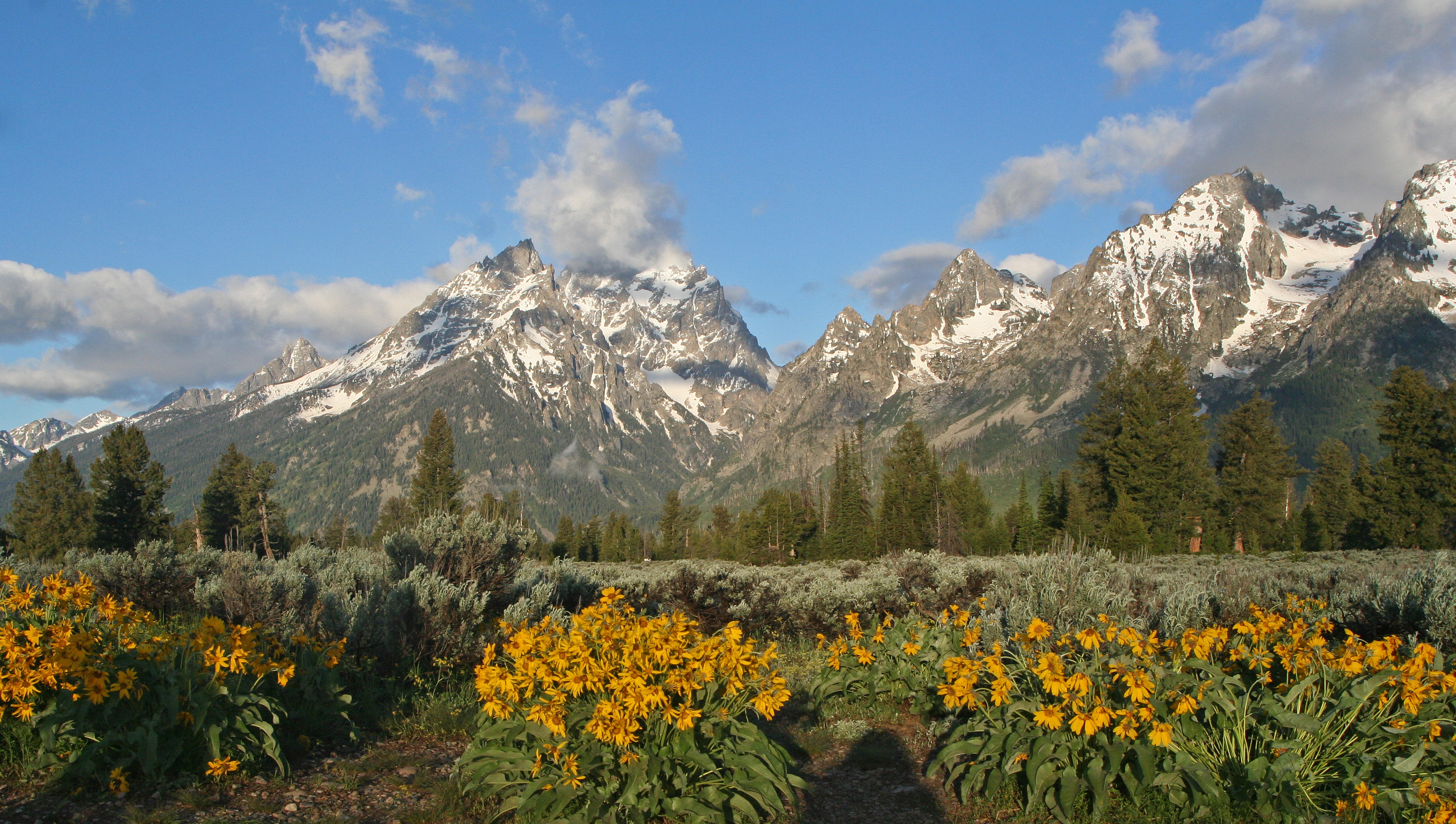
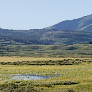
A wide panorama view of the Tetons from Jackson Lake Overlook. |
|
 |
 |
 |
|
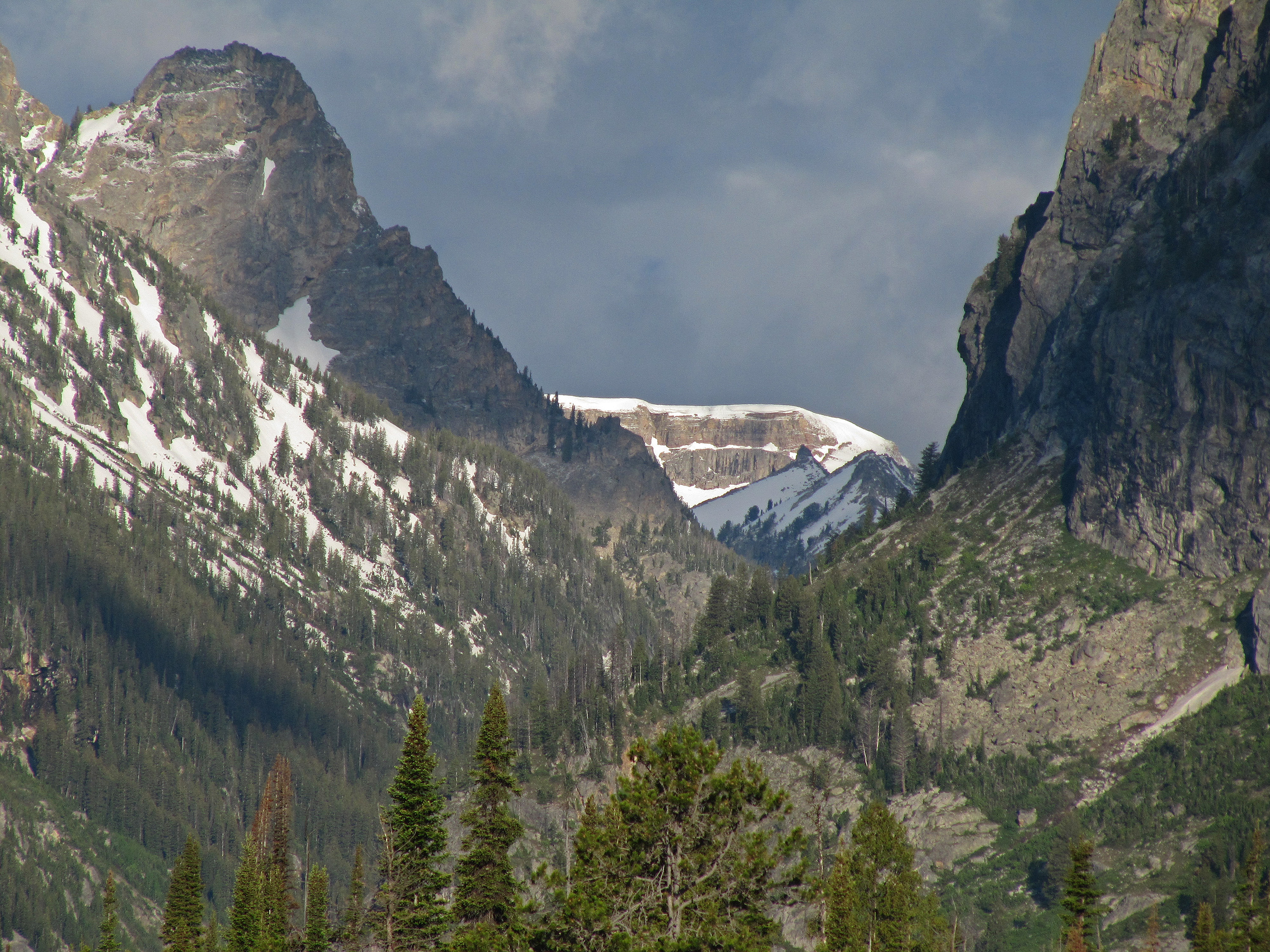
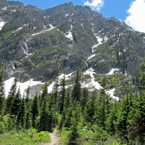
Early afternoon view looking up at Mt. Moran from Indian Paintbrush Canyon trail. |
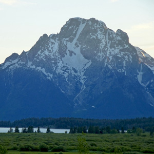
Just before sunset on the evening of June 14th, another view of Mt. Moran. Willow Flats Overlook. |
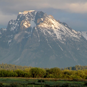
Late morning view of Mt. Moran on the 14th of June. Willow Flats Overlook. |
|
 |
 |
 |
|
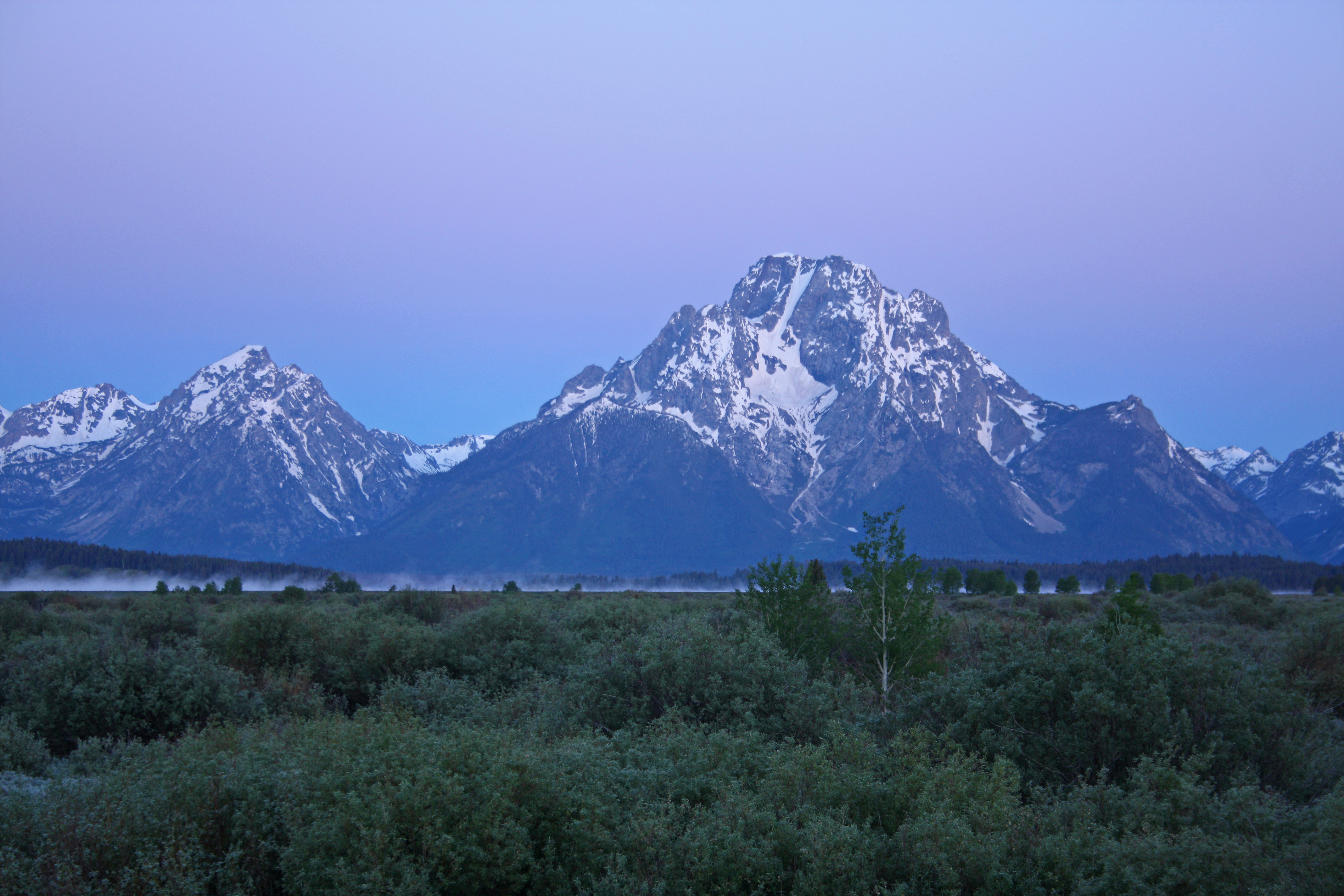
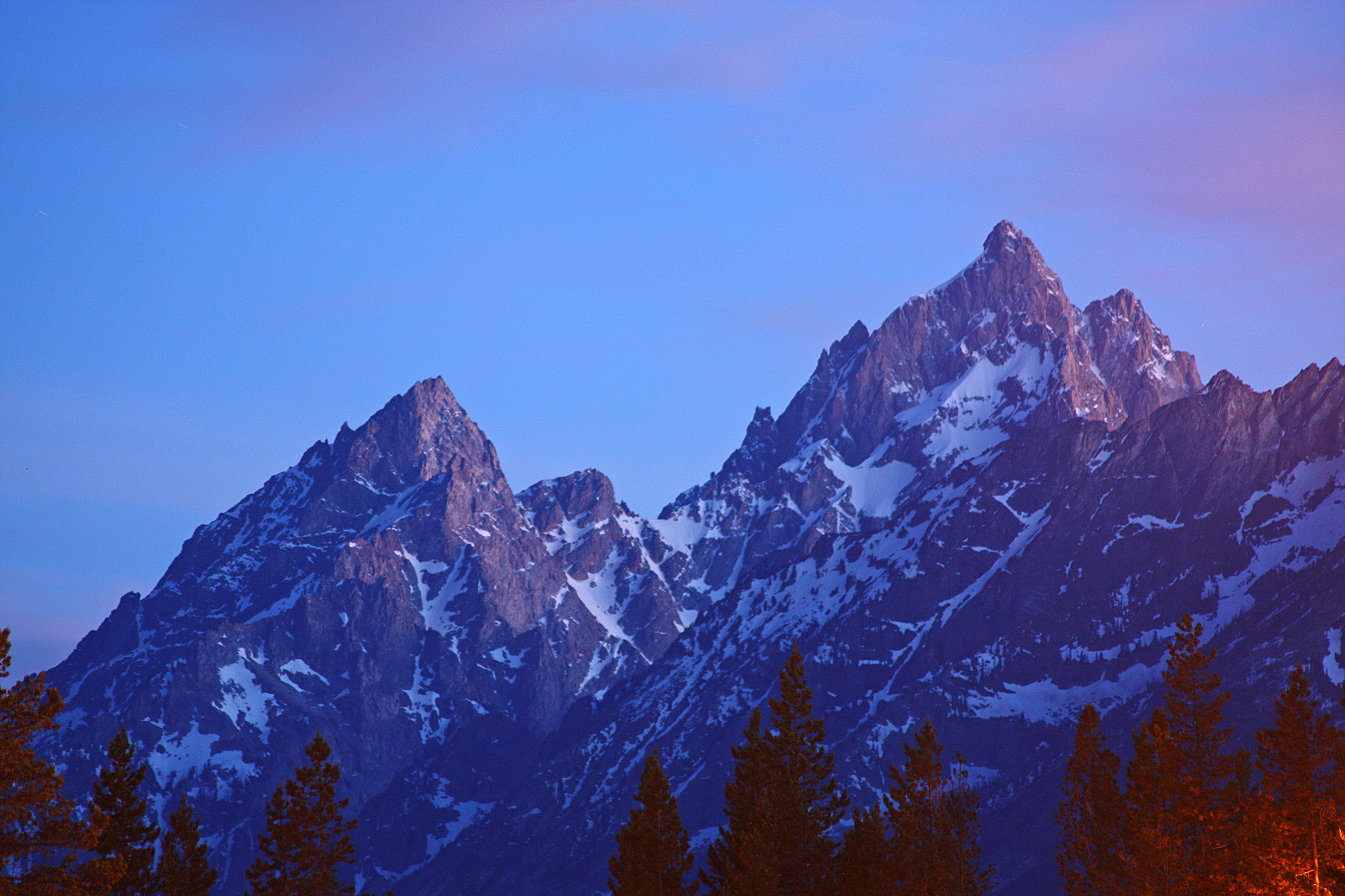
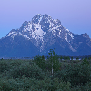
Pre-dawn view of Mt. Moran on the chilly (-3 Celsius, 27 Fahrenheit) morning of June 15th. Willow Flats Overlook. |
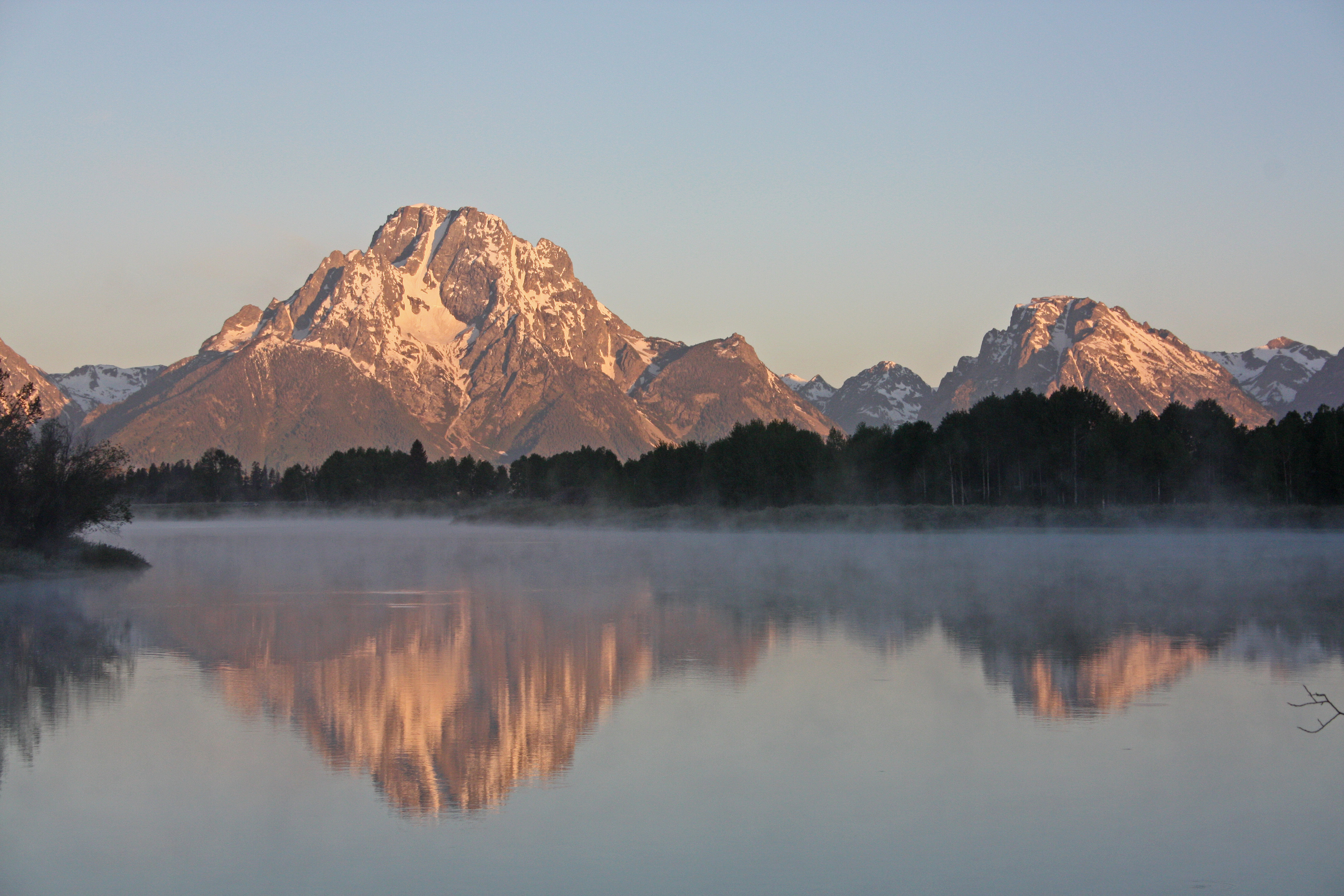
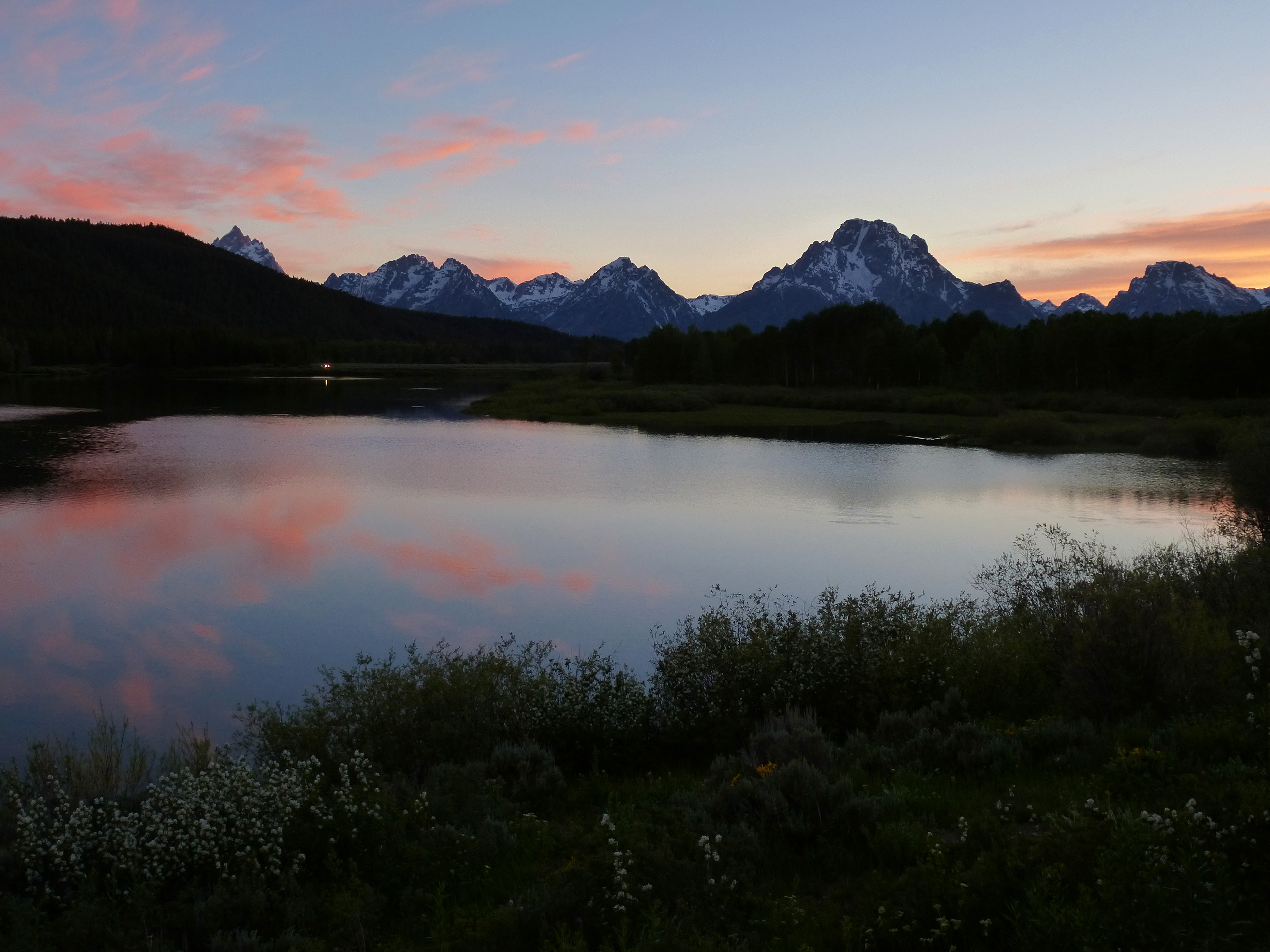
Dawn light on Mt. Moran on June 15th.
Oxbow Bend Turnout. |
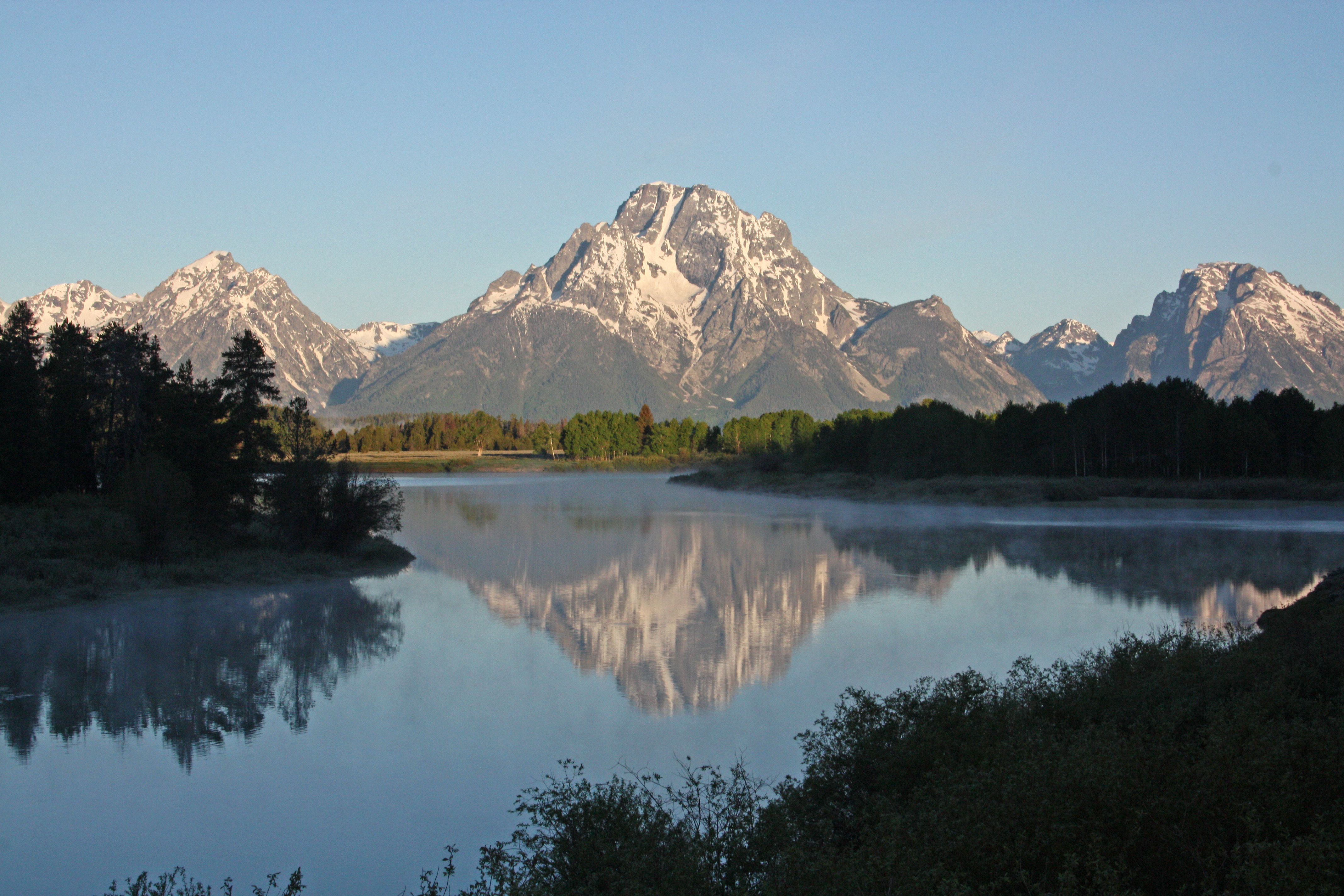
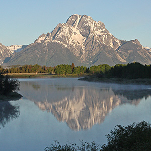
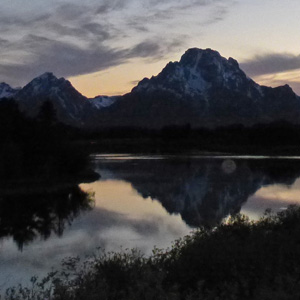
Early morning view of Mt. Moran.
Oxbow Bend Turnout. |
|
 |
 |
 |
|
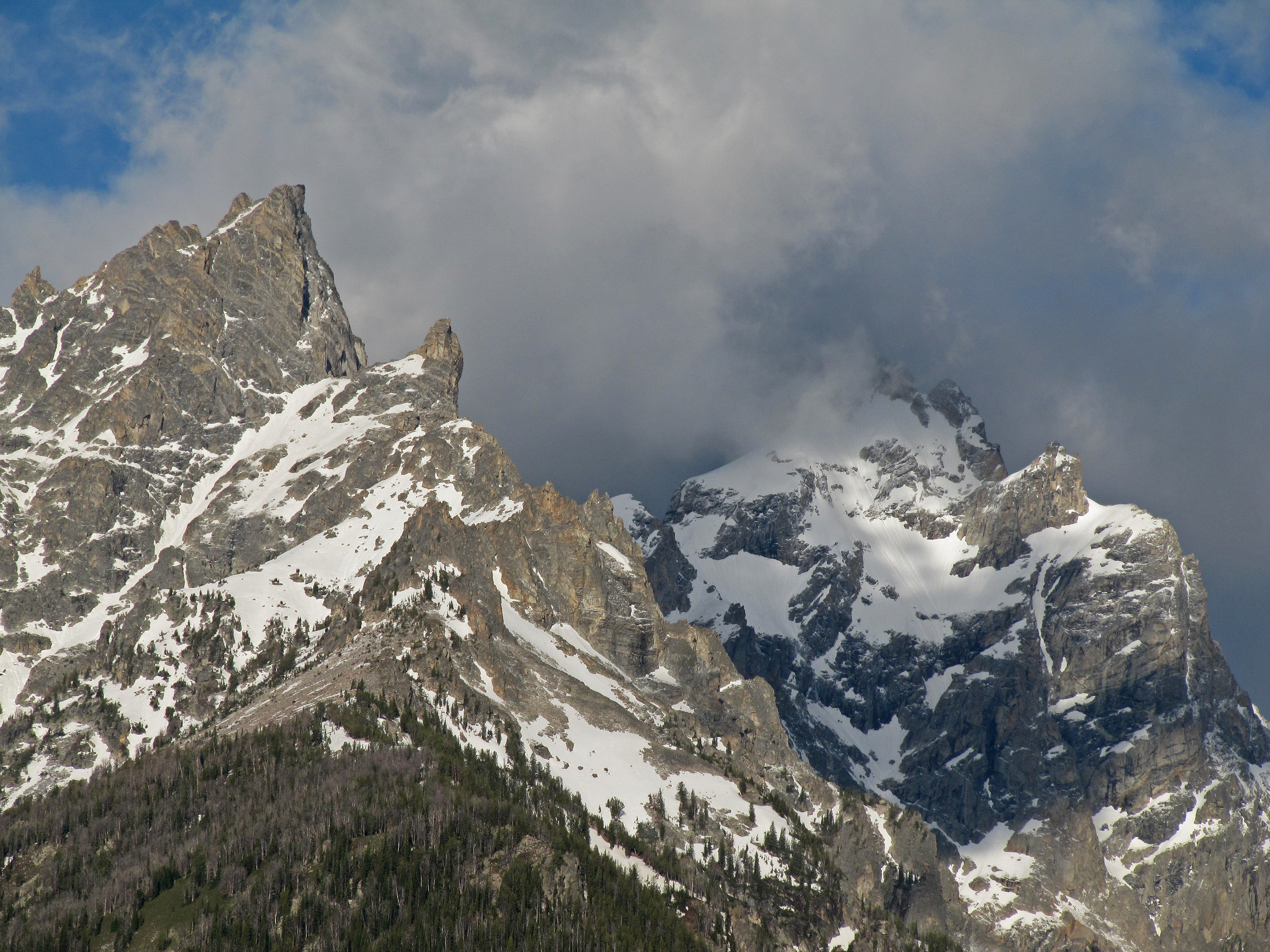
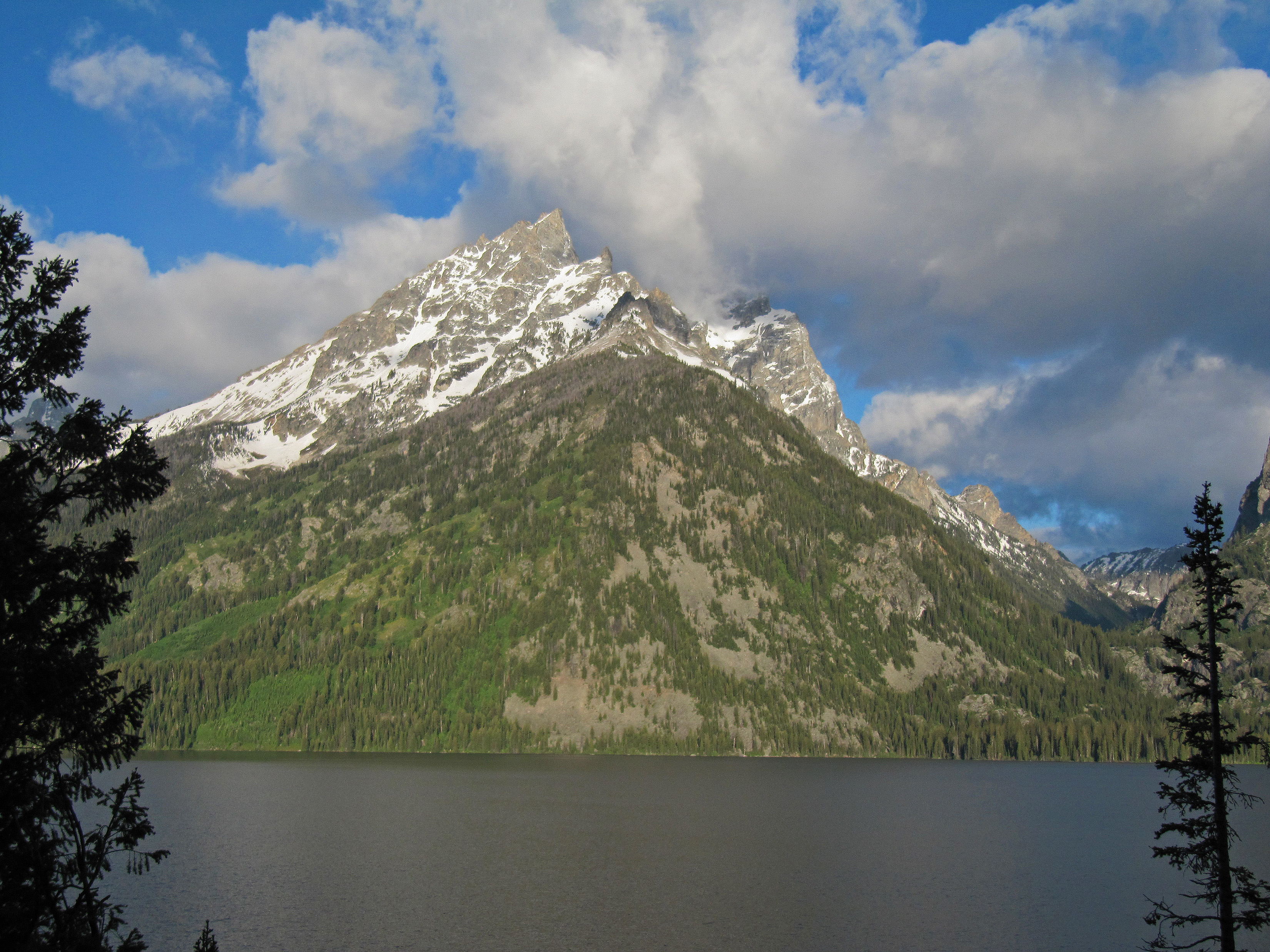
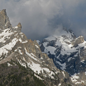
Clouds obscure the Grand Teton Mountain seen from across Jenny Lake. That's Teewinot on the left in this image. |
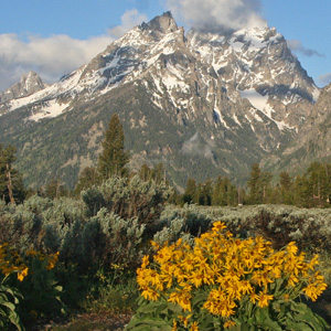
Teewinot Mountain and Grand Teton (the highest peak is obscured by clouds) rising out the valley covered in flowers, sagebrush, and pines. |
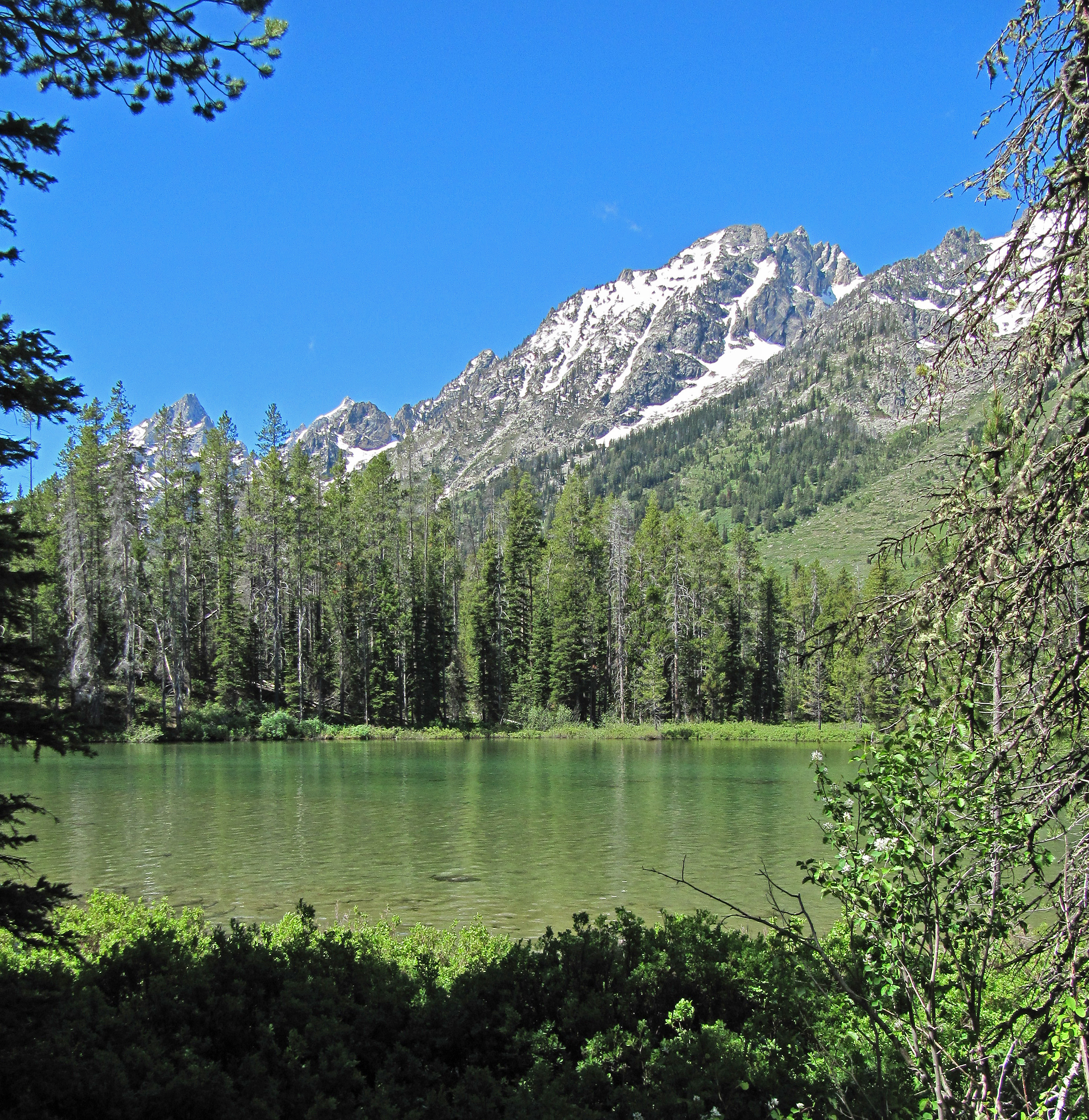
Looking over String Lake toward Rockchuck Peak and Mt. St. John. |
|
 |
 |
 |
|
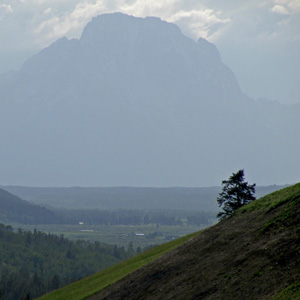
Descending from Togwotee’s pass on old highway 287 our first view of the Tetons was their shadowy backlit shapes looming out of the valley with a storm forming among their peaks. |
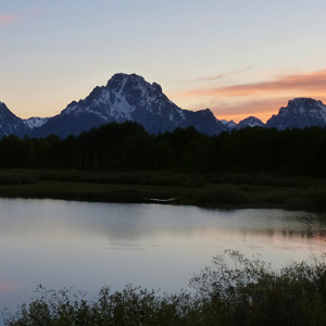
This photo was taken with a 30-second exposure about 40 minutes after sunset, but mid-June sunsets are slow in the Tetons, and there was enough glow in the western sky to illuminate Grand Teton quite clearly. Seen from the parking lot at Colter Bay. |
Looking up Cascade Canyon from the outlook above the eastern shore of Jenny Lake. |
|
 |
 |
 |
|
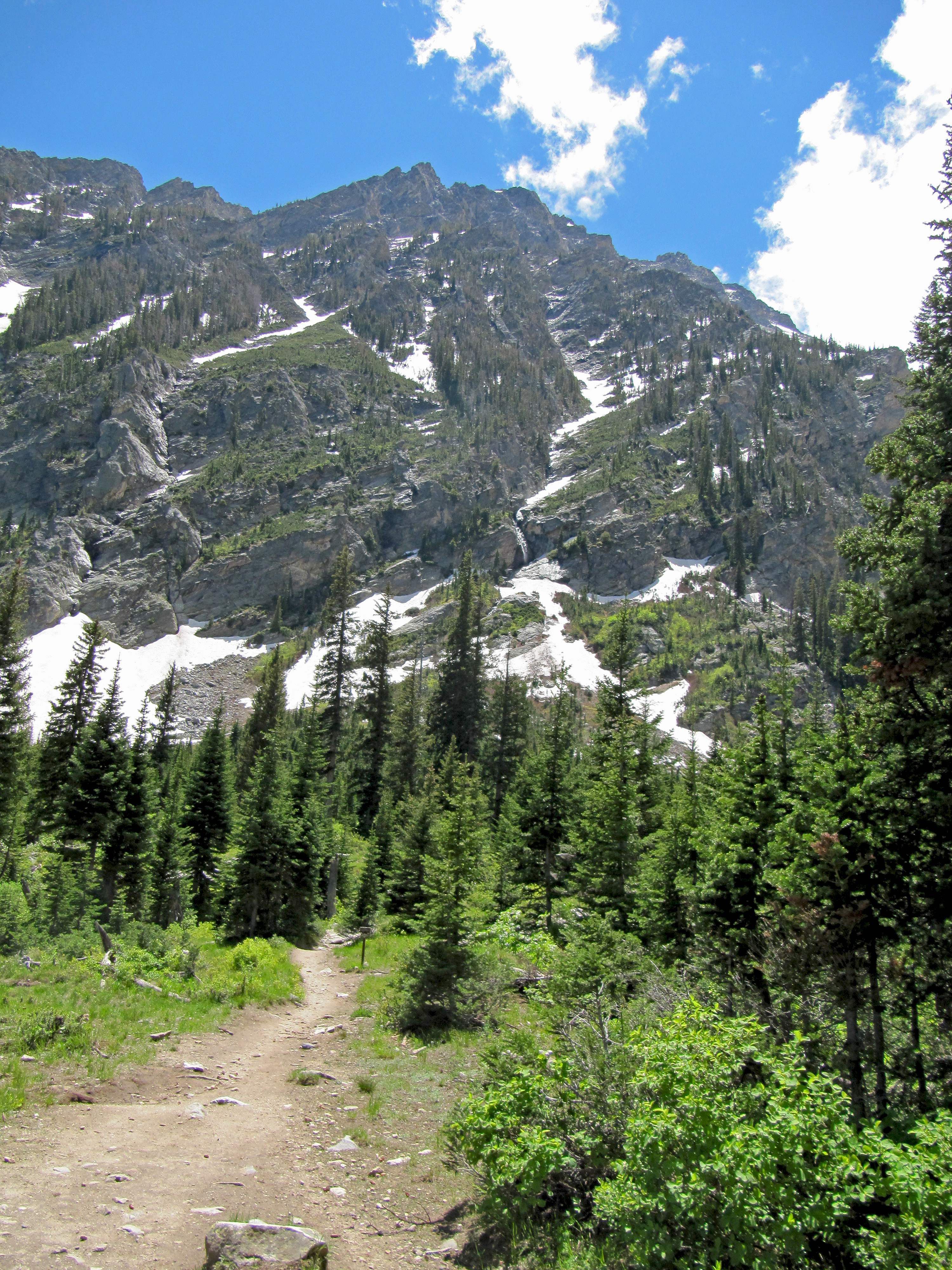
View of the trail into Indian Paintbrush Canyon near the lower Paintbrush Canyon camping area. |
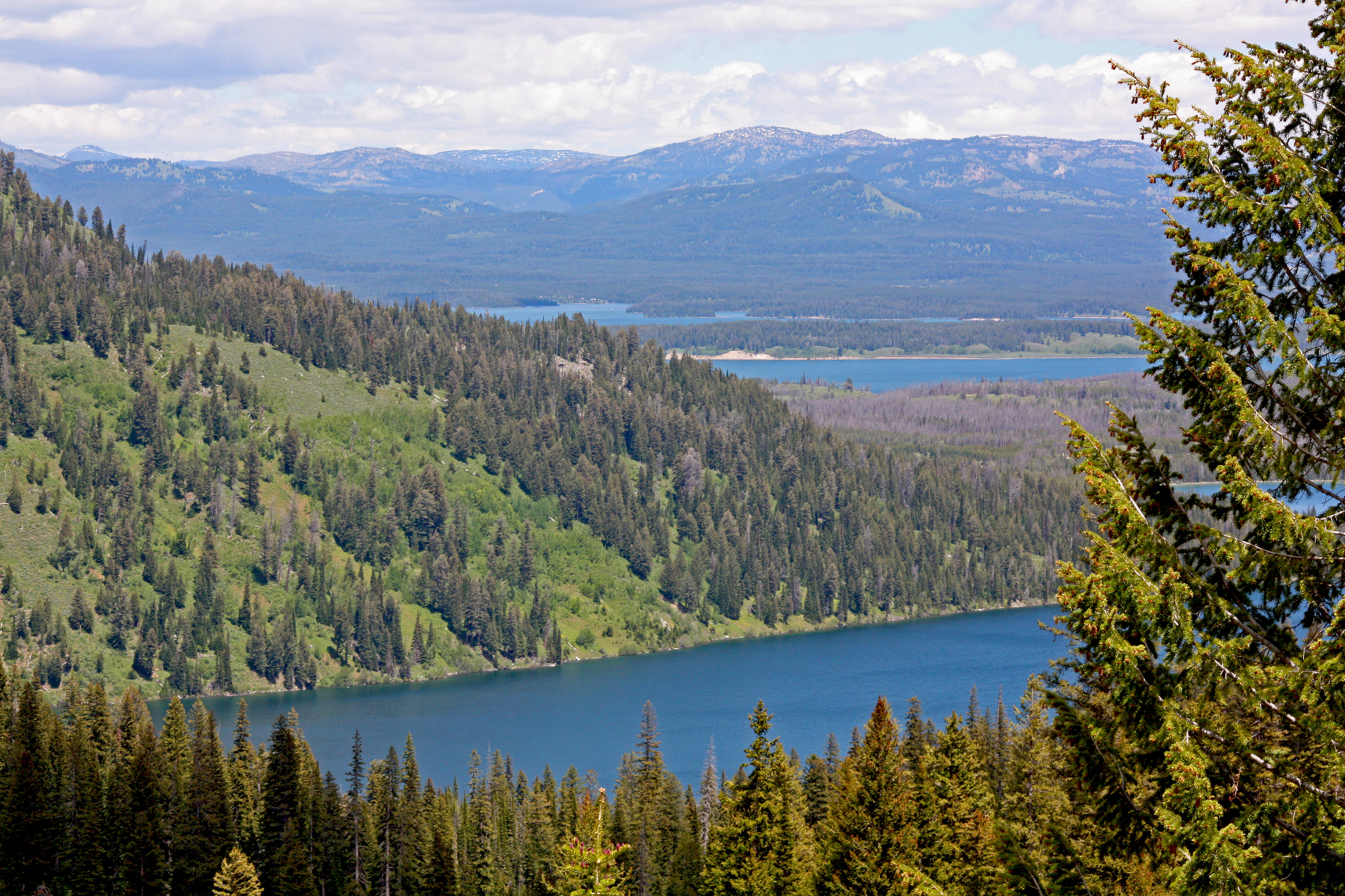
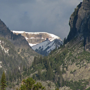
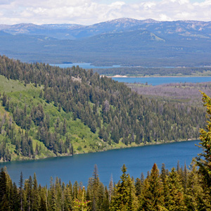
View looking down at Leigh Lake and Jackson Lake from the lower part of Indian Paintbrush Canyon |
Looking across Jenny Lake at Teewinot Mountain with Grand Teton obscured by clouds just behind it. |
|
 |
 |
 |
|
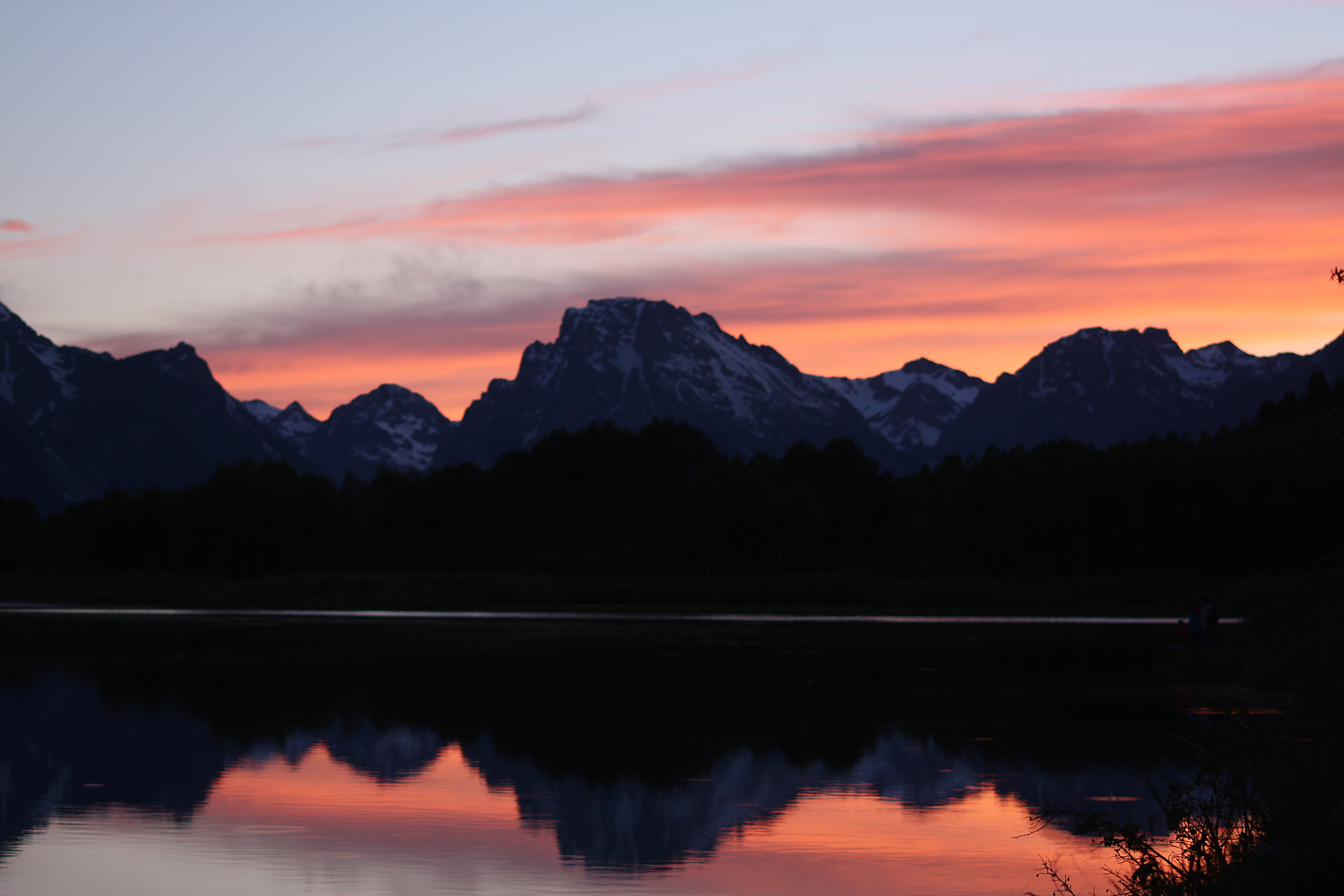
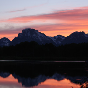
View of Mt. Moran at sunset on June 14th. Oxbow Bend Turnout. |
Sunset view of the Tetons. June 14th. Oxbow Bend Turnout. |
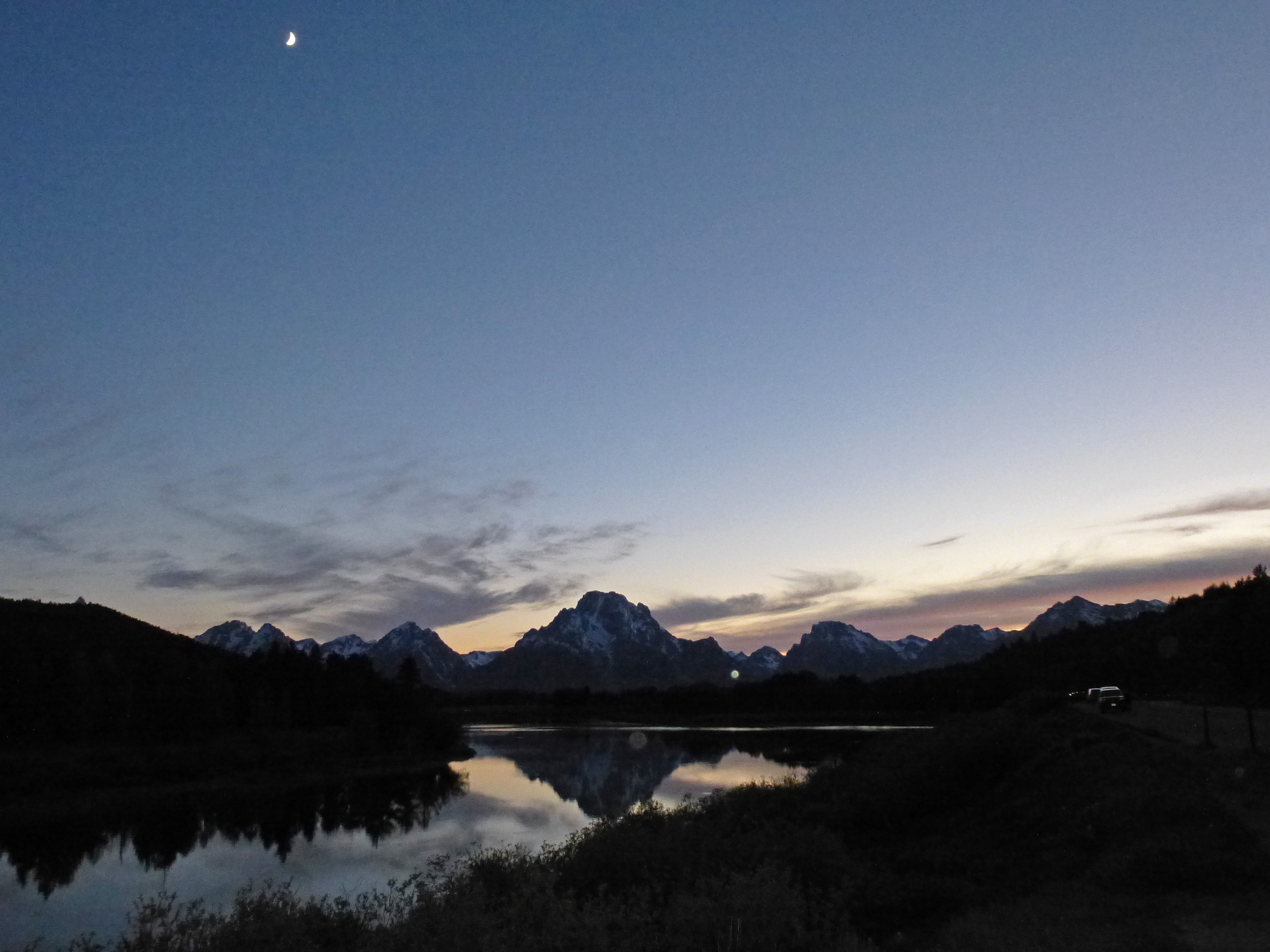
After sunset on June 14th. Oxbow Bend Turnout. |
|
 |
 |
 |
|
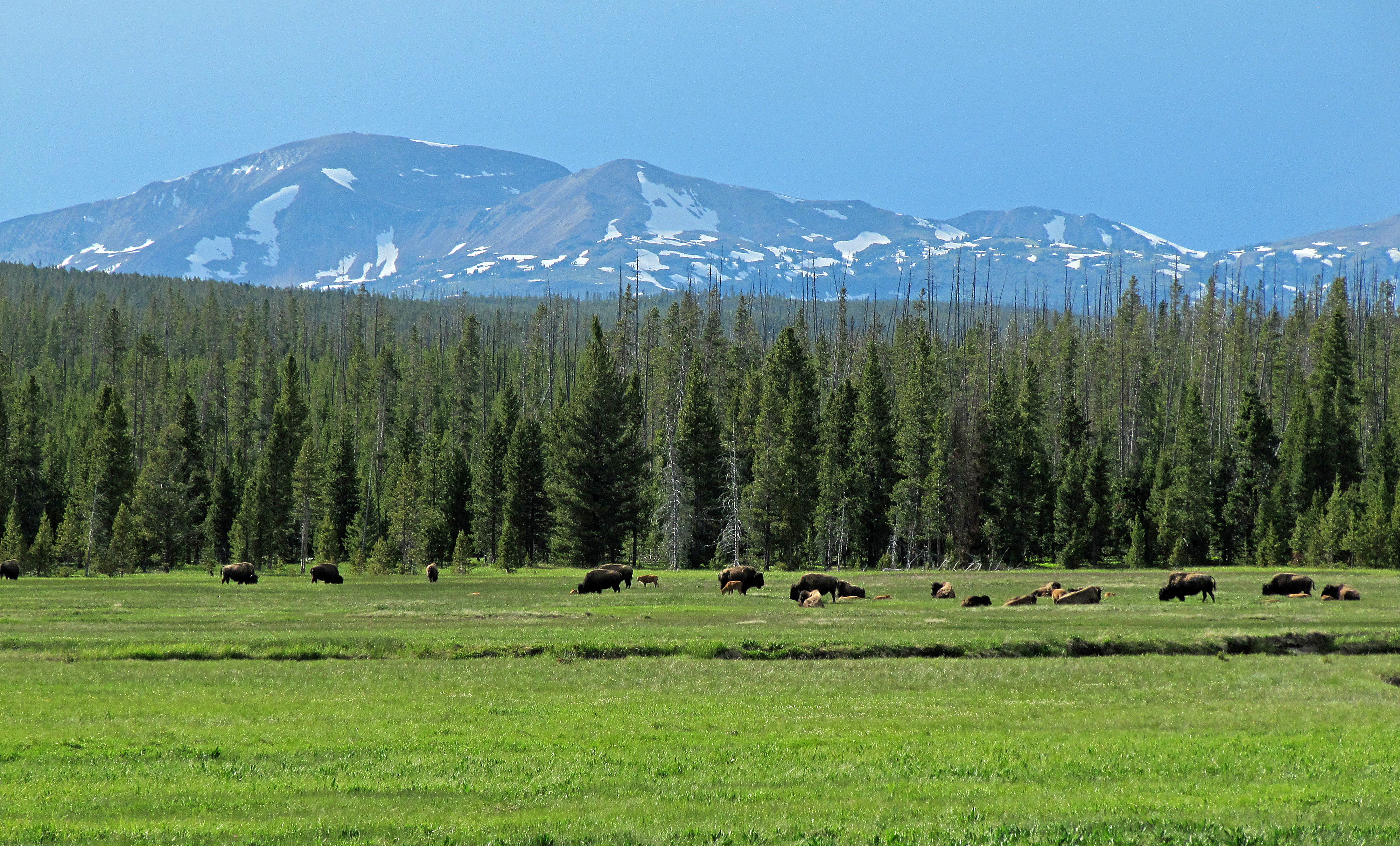
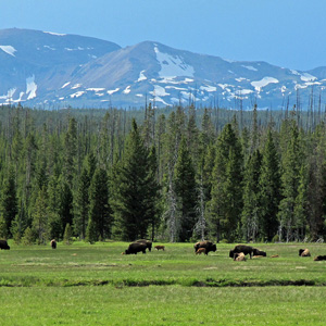
Bison in meadow near Gibbon River with Mt Holmes in the background, just south of Norris in Yellowstone National Park. |
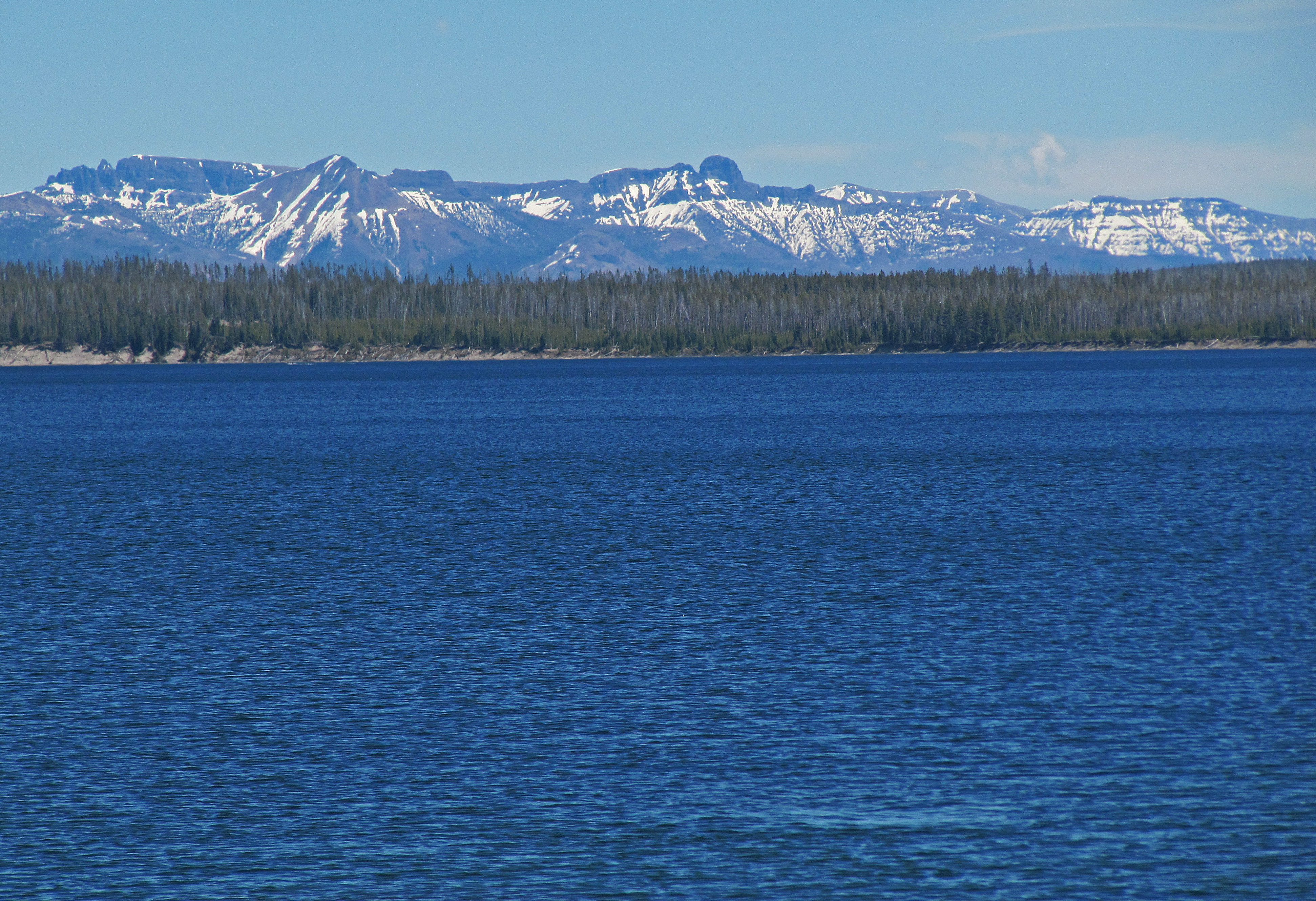
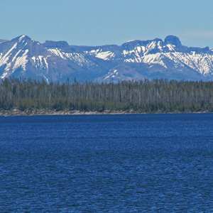
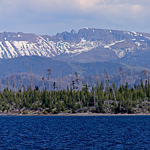
Yellowstone Lake with Absaroka Mountains beyond. |
Yellowstone Lake, Frank Island. The Absaroka Mountains beyond Yellowstone Lake. The large panorma image linked from the image above is a composite of several photographs, and is 22,000 pixels wide. |
|
 |
 |
 |
|
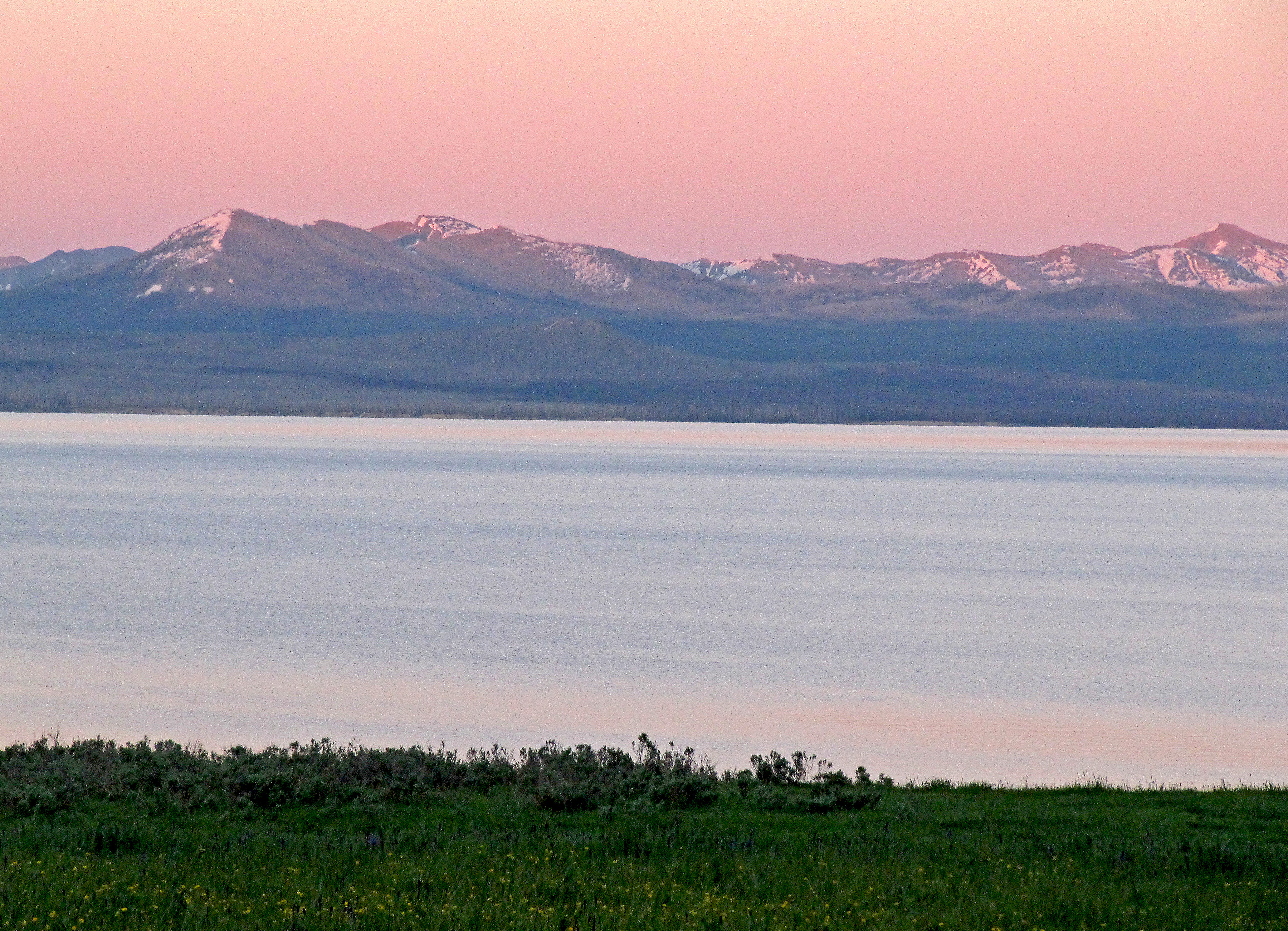
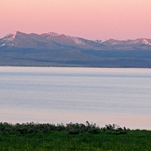
This is the view from the meadow adjacent to our campsite in Bridge Bay Campground, looking down the meadow toward Yellowstone Lake and the Absaroka Mountains (Mount Doane) beyond it, just as sunset was coloring the mountains with a rosy glow. |
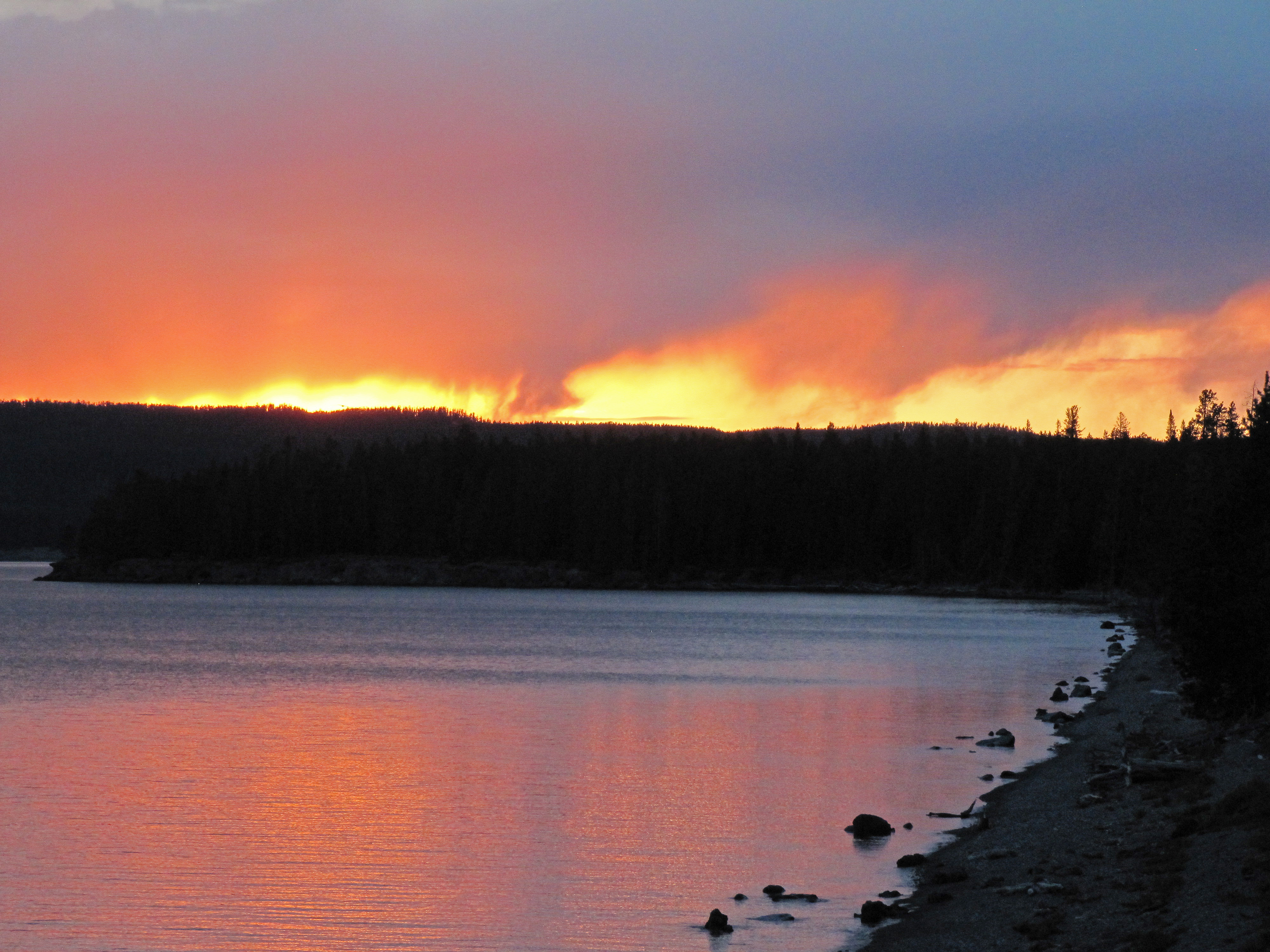
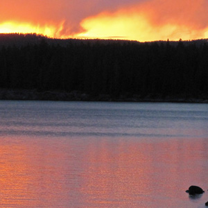
Sunset on June 16th looking down the shores of West Thumb of Lake Yellowstone. |
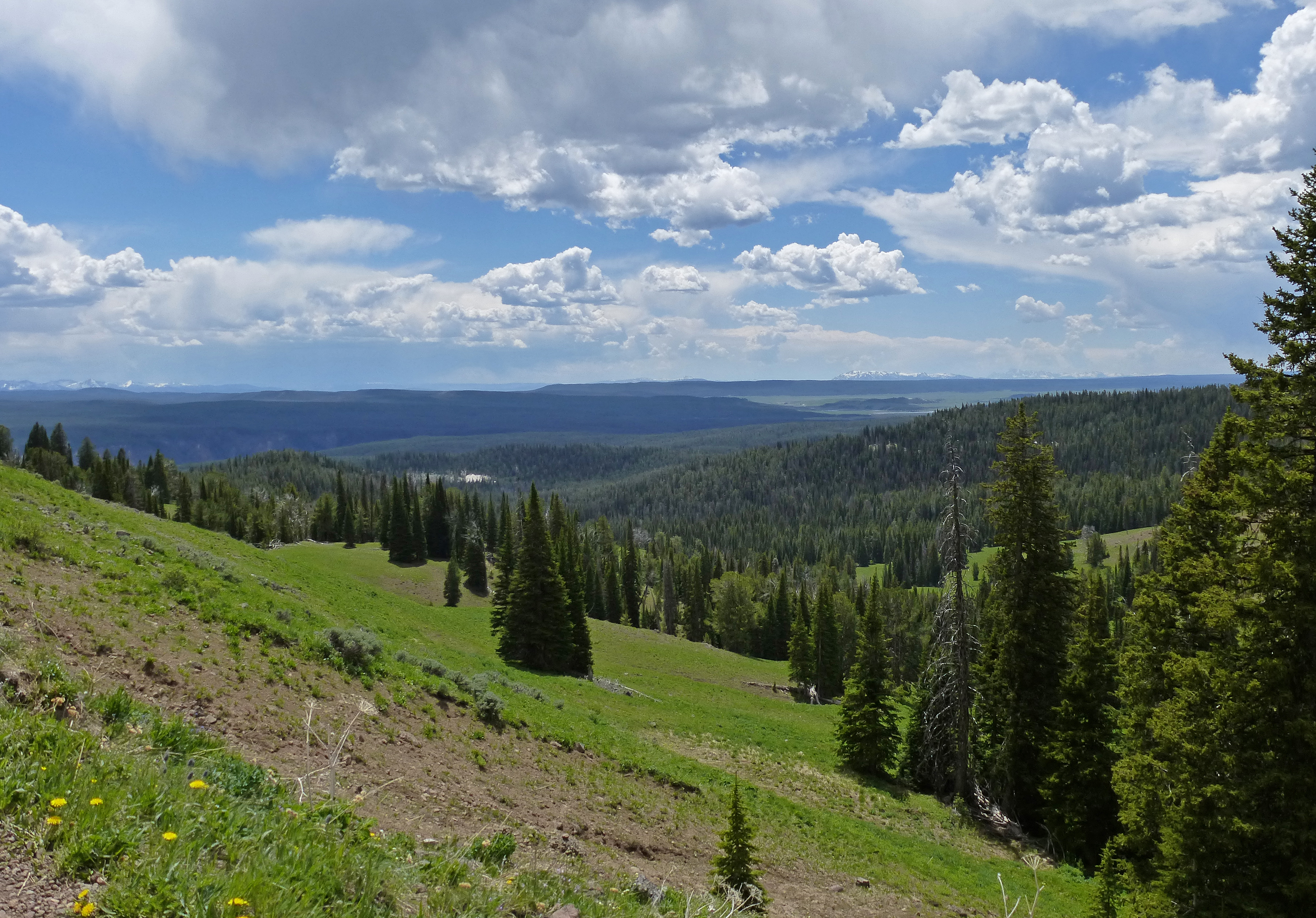
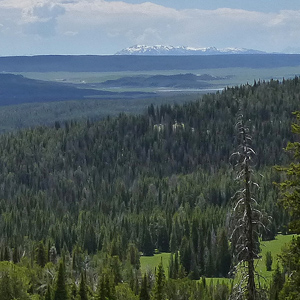
A view to the south from the slopes of Mount Washburn in Yellowstone National Park. |
|
 |
 |
 |
|
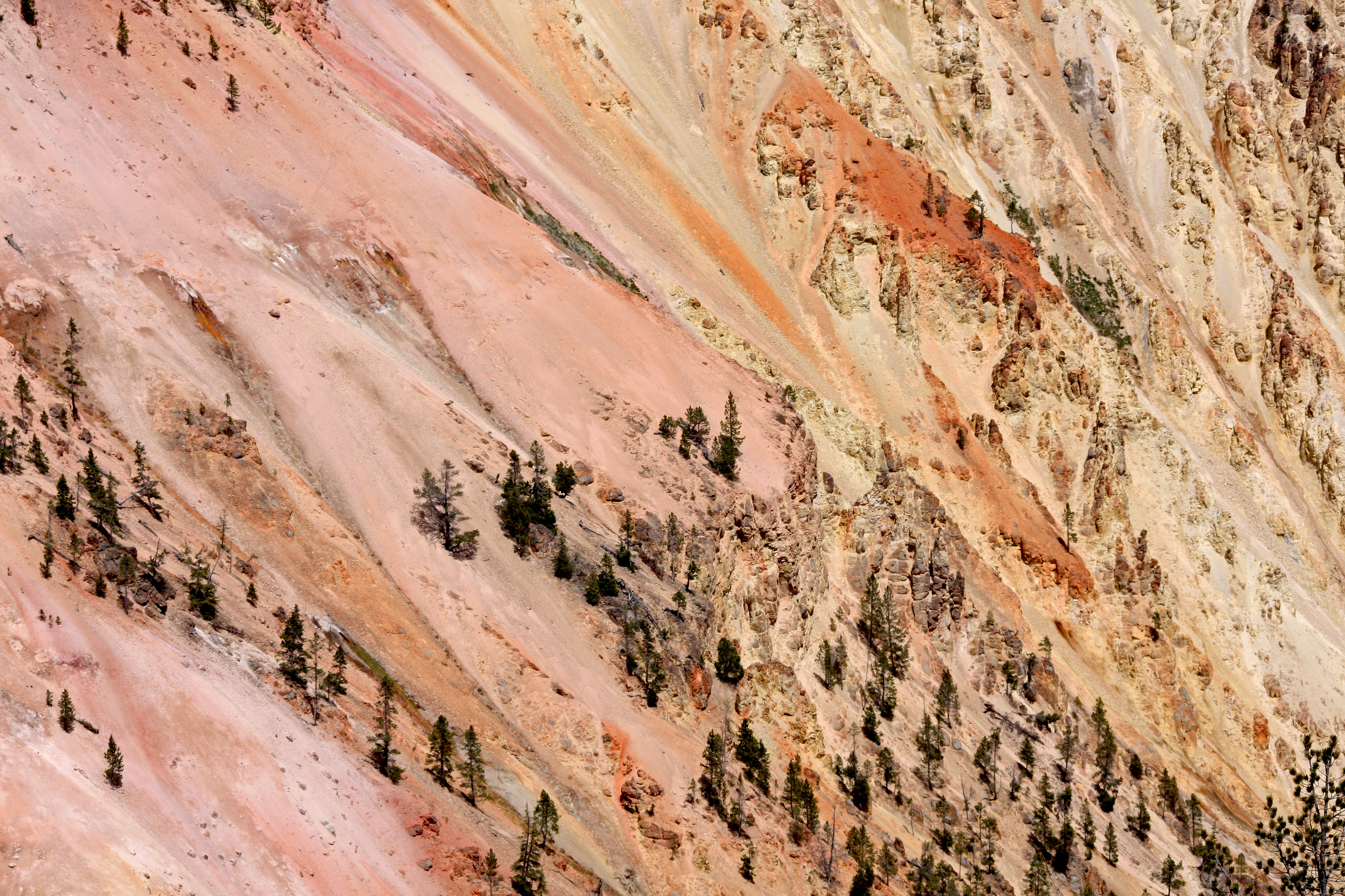
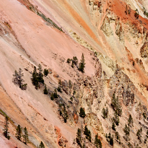
Colors in the Grand Canyon of the Yellowstone. |
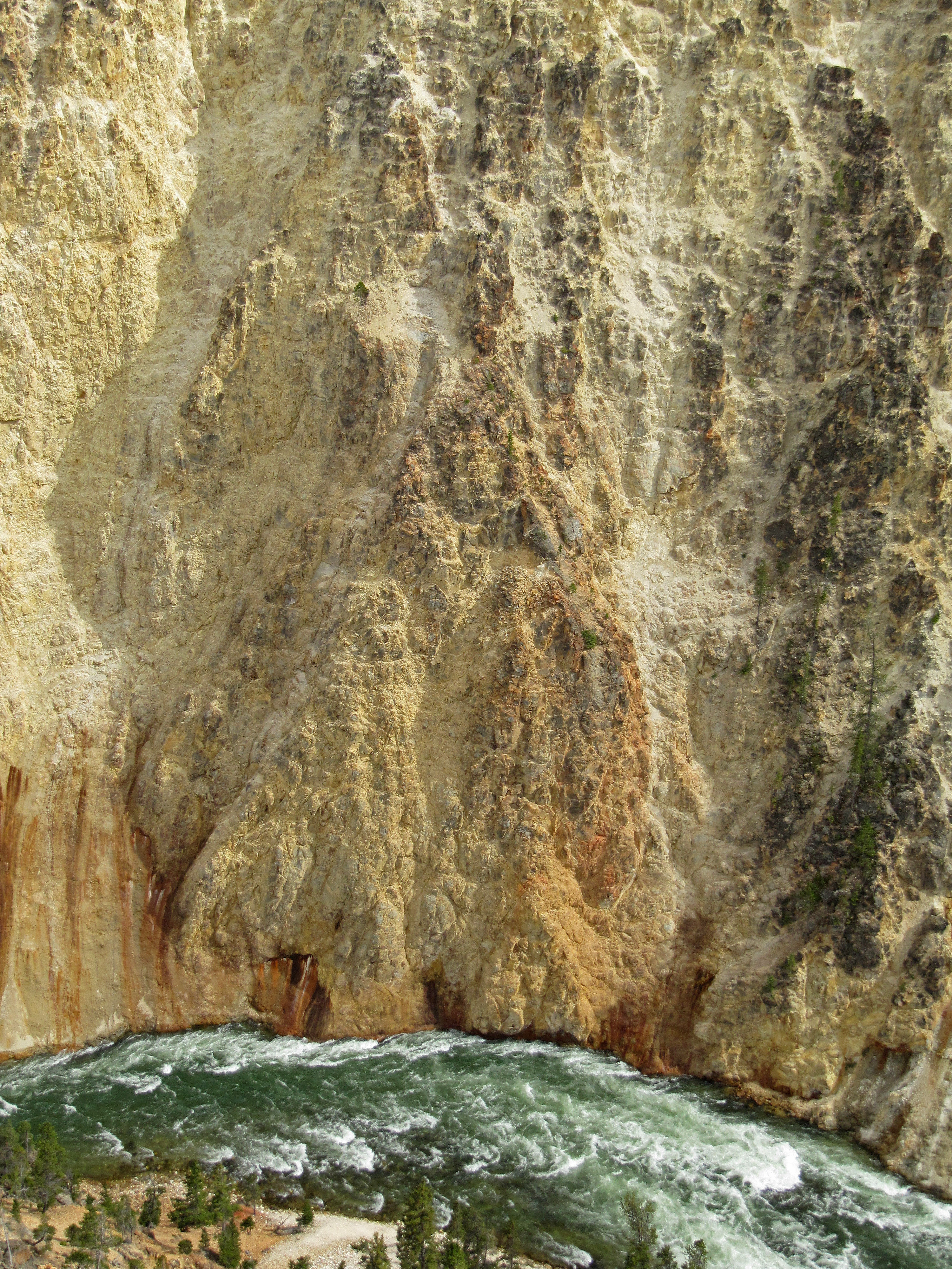
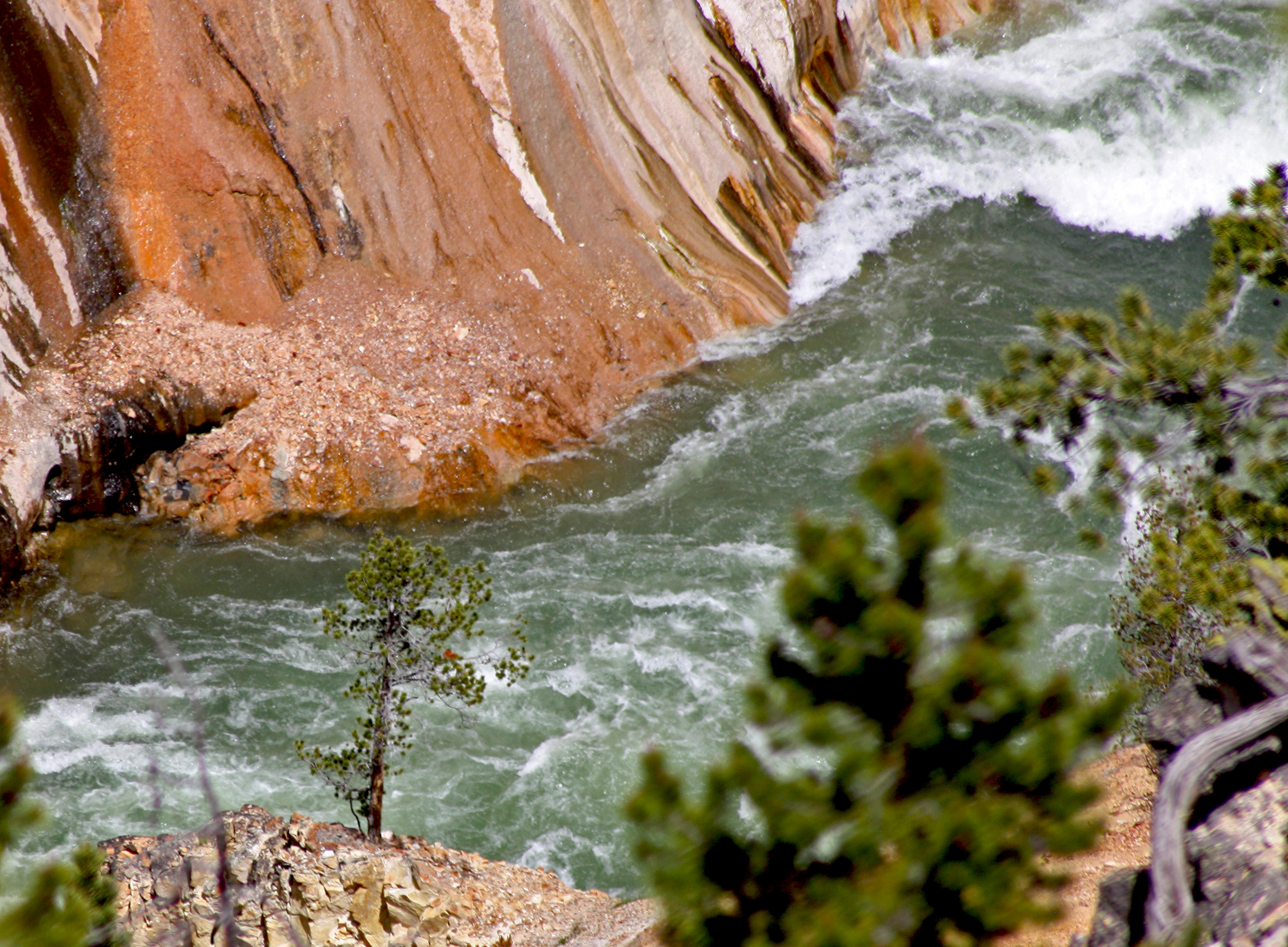
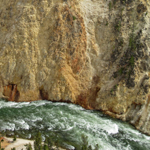
Looking down at the Yellowstone River. |
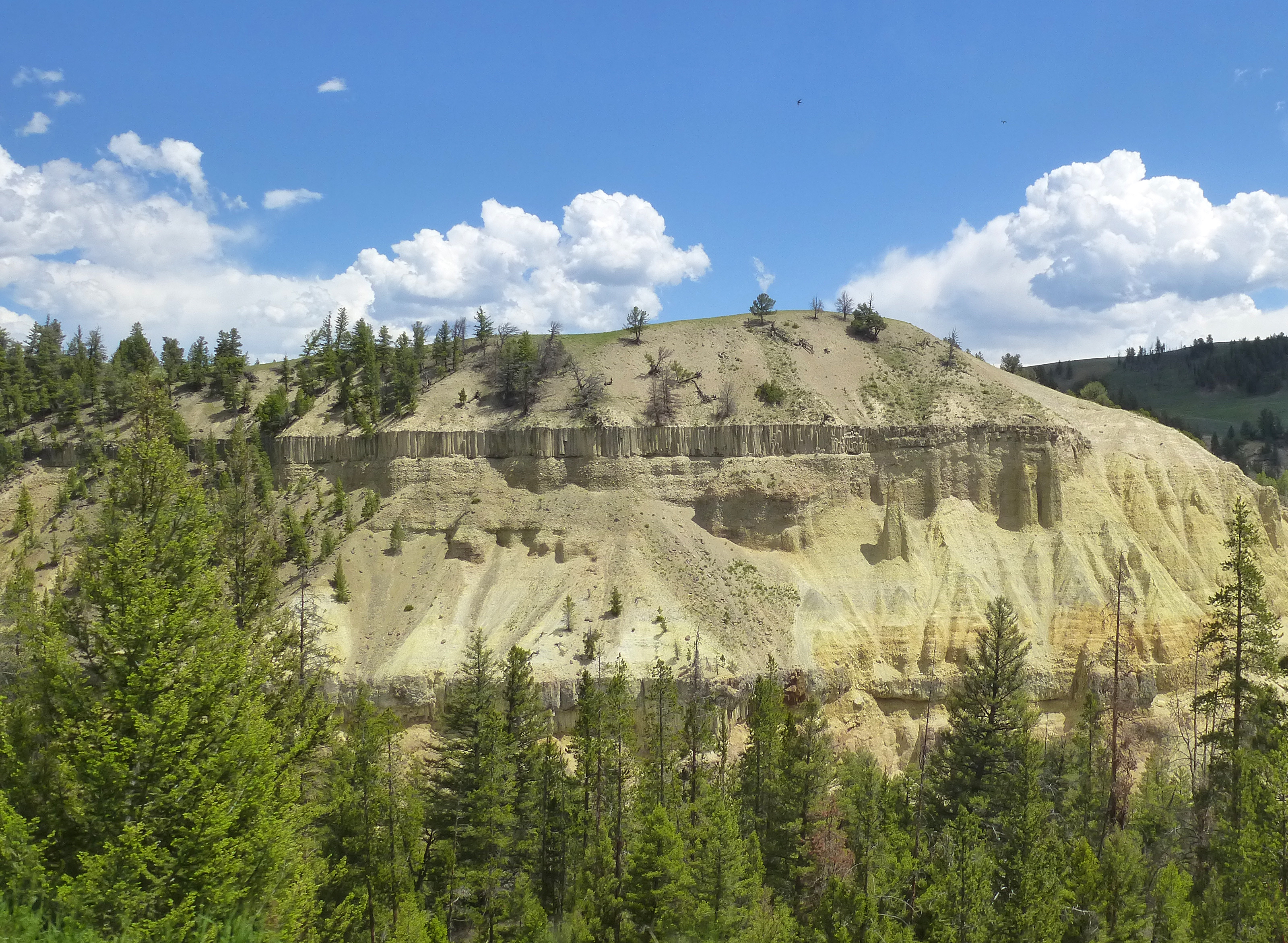
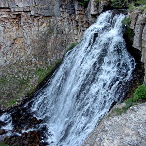
Basalt columns made from cooling lava revealed in a bluff near Tower Falls in Yellowstone National Park. |
|
 |
 |
 |
|
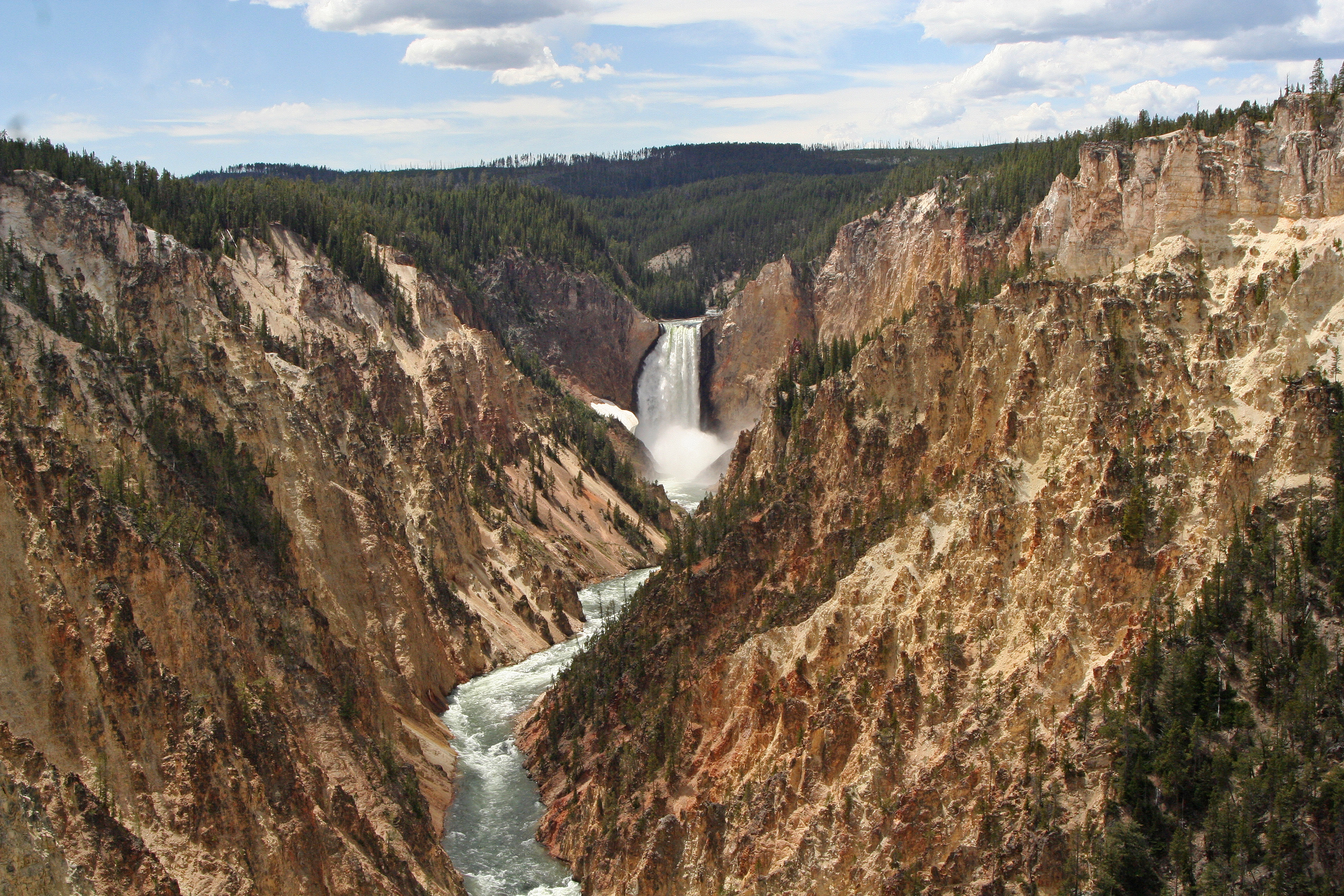
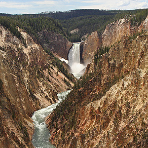
The Grand Canyon of the Yellowstone, seen from Artist Point. |
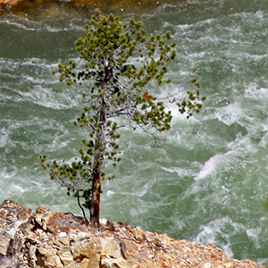
A tree leaning over the Yellowstone River just below the Lower Falls of the Yellowstone. |
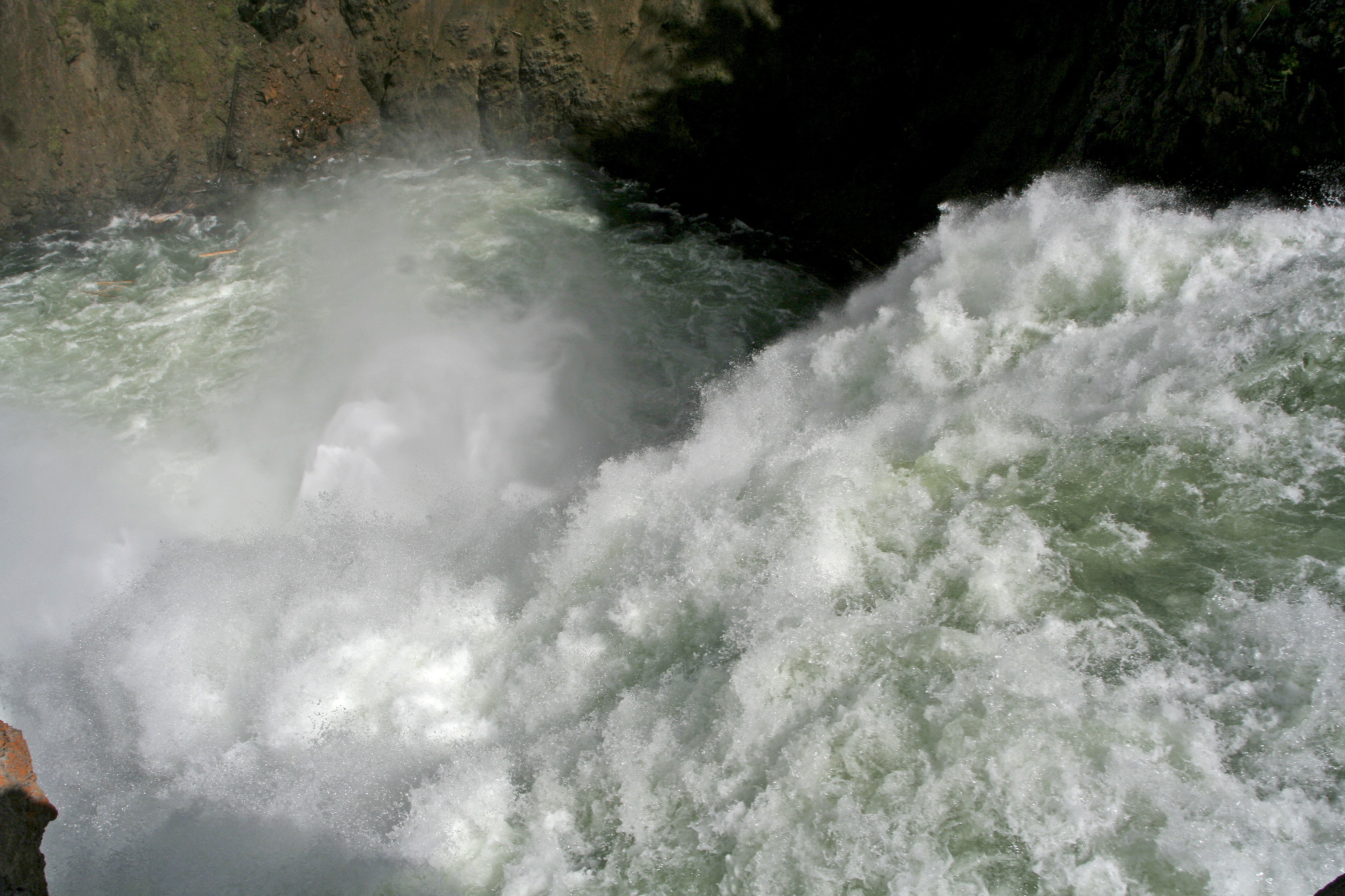
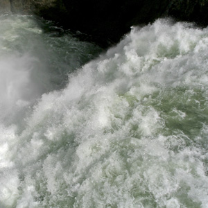
Looking right over the edge of the Upper Falls of the Yellowstone River. |
|
 |
 |
 |
|
A cascade at the Golden Gate area just south of Mammoth Hot Springs. |
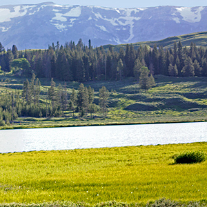
A panorama of Swan Lake. The larger image is a composite over 6,300 pixels wide. |
Looking north from Swan Lake Flats toward the Golden Gate and Electric Peak. The bigger image is a panorama composite 10,000 pixels wide. |