|
 |
 |
 |
 |
|
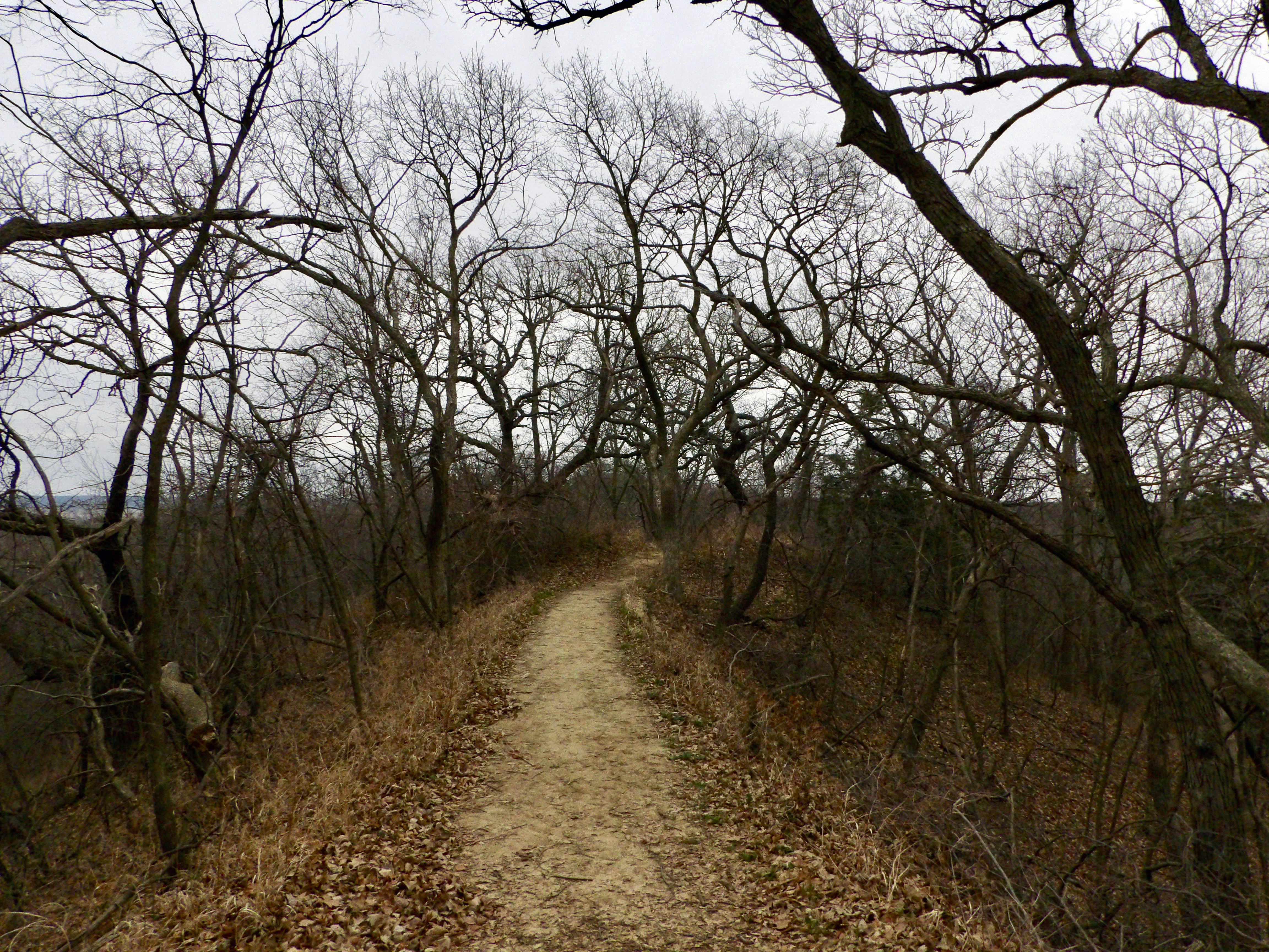
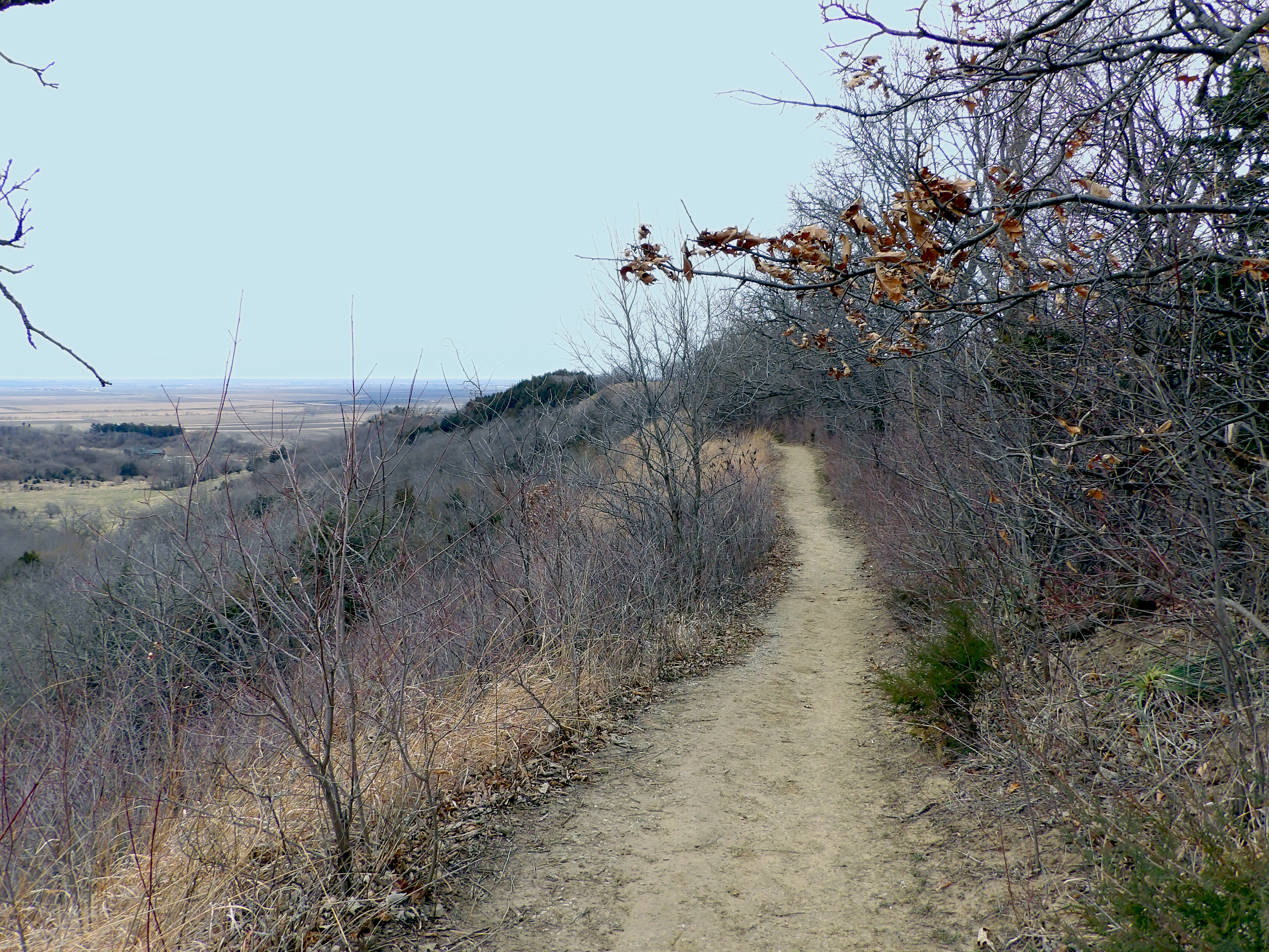
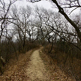
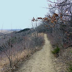
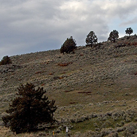
Trail in Waubonsie State Park. This is the Valley trail, which goes along the top of a ridge for a while, and then comes back in a valley to the trail head. |
Waubonsie State Park is in Iowa, near Nebraska City, Nebraska. It is not from the Missouri River. The park has some lovely trails, well worth visiting. |
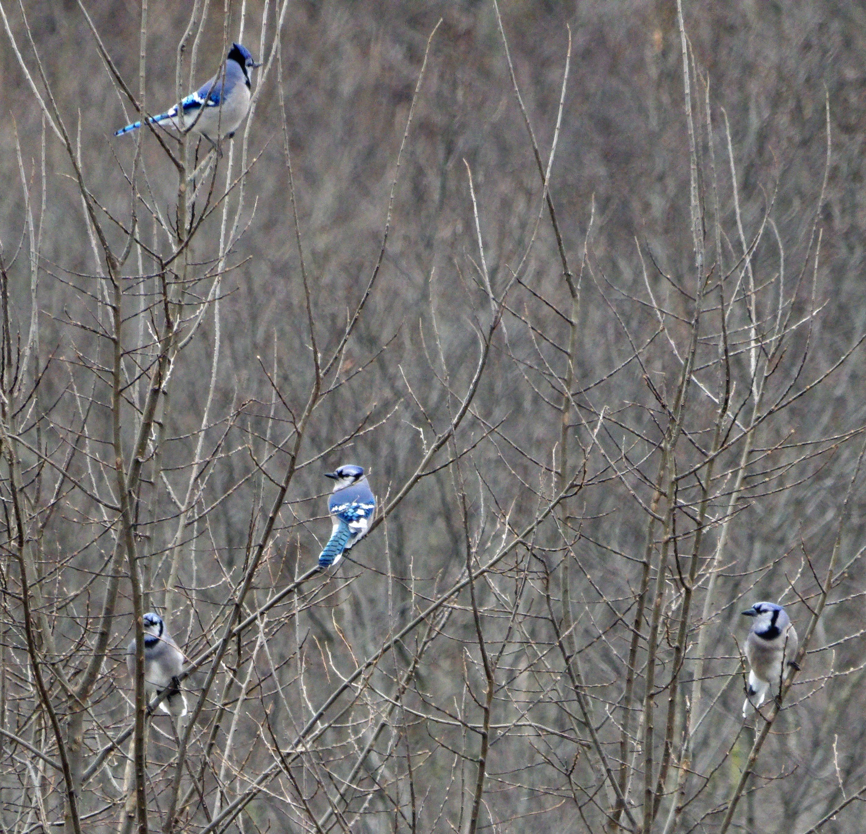
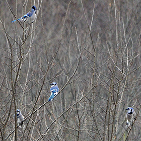
These blue jays were making noise and interacting in the trees. |
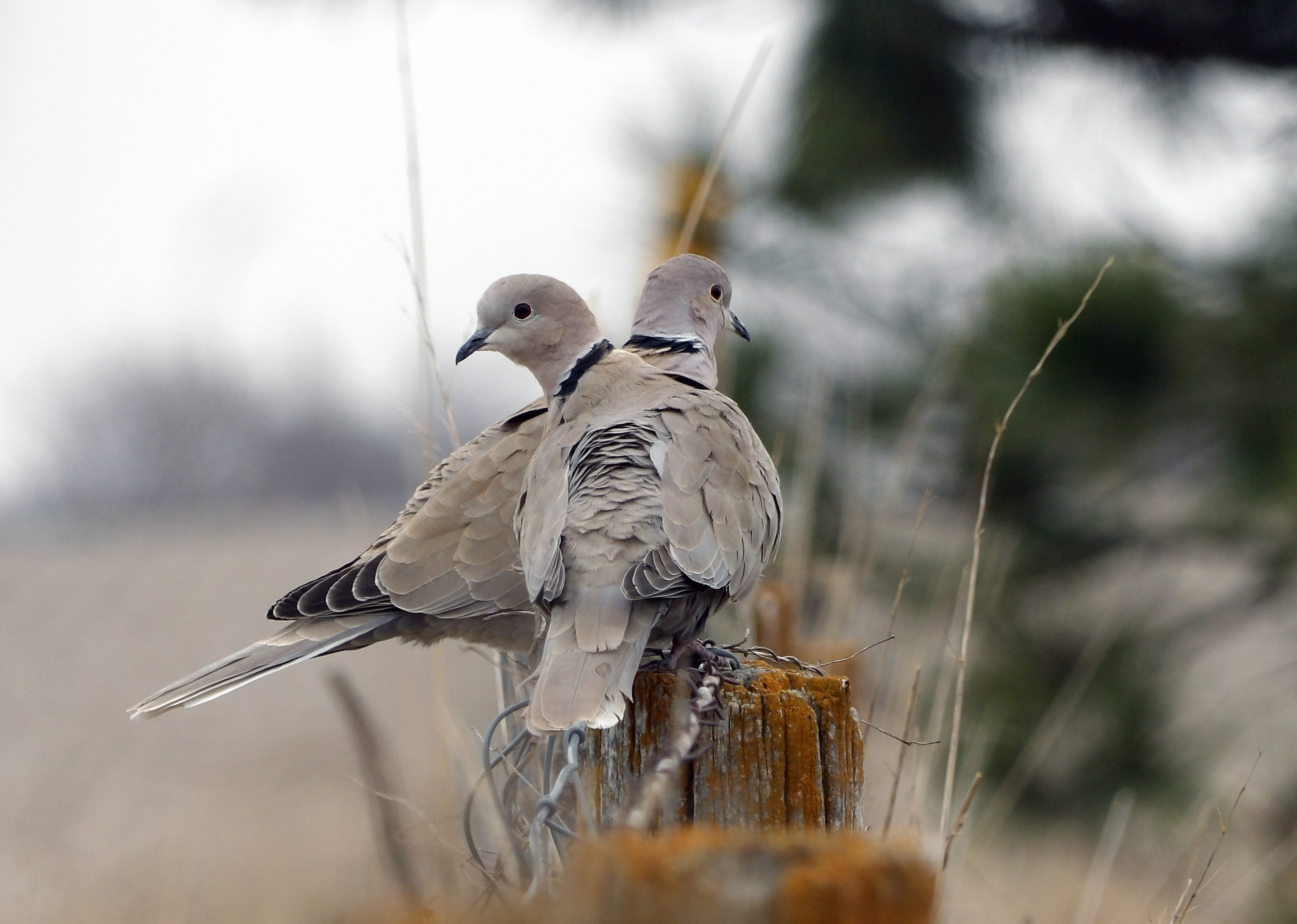
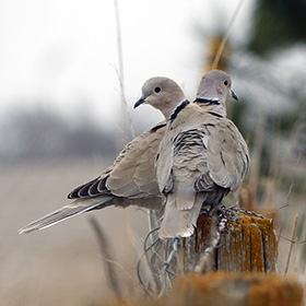
In Nebraska I stopped to admire the Sandhill Cranes, and happened to see these two ring necked doves. |
|
 |
 |
 |
 |
|
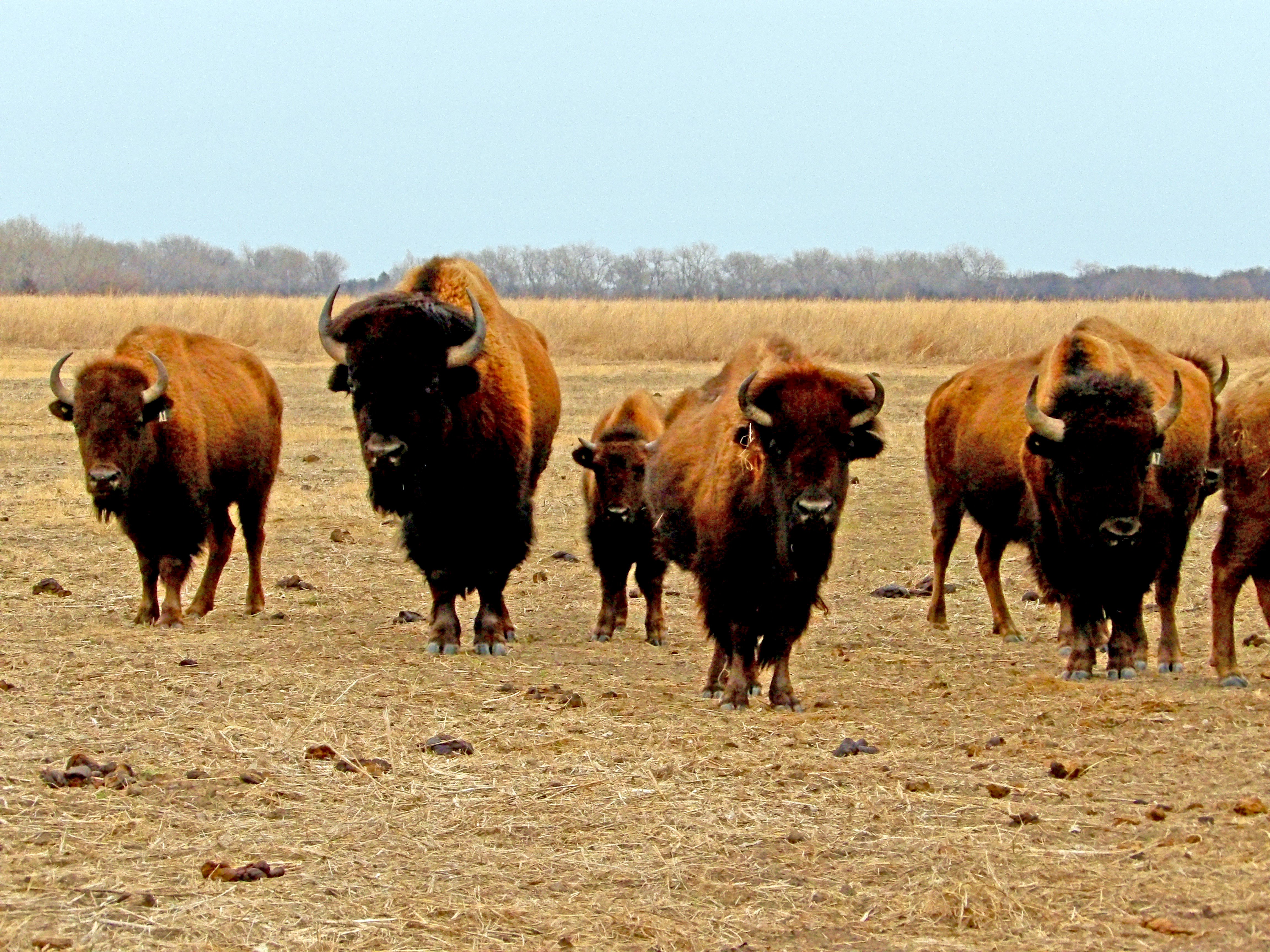
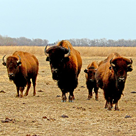
These bison at the Crane Center near Grand Island, Nebraska seemed curious about me, and wandered over to the gate where I was watching them. |
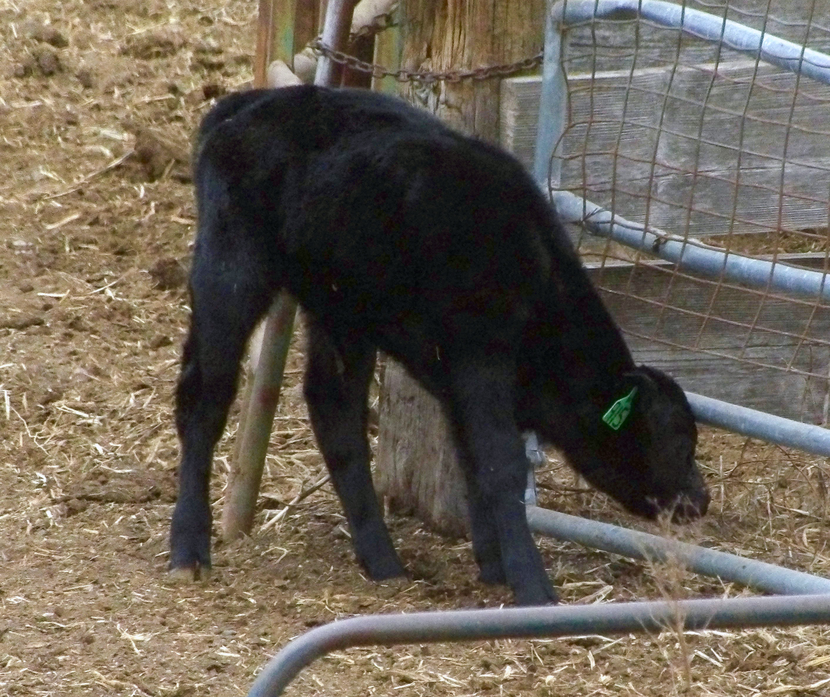
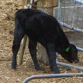
The new calves like this little black calf were exploring the world. I saw many cattle and their baby calves as I traveled toward Oregon. |
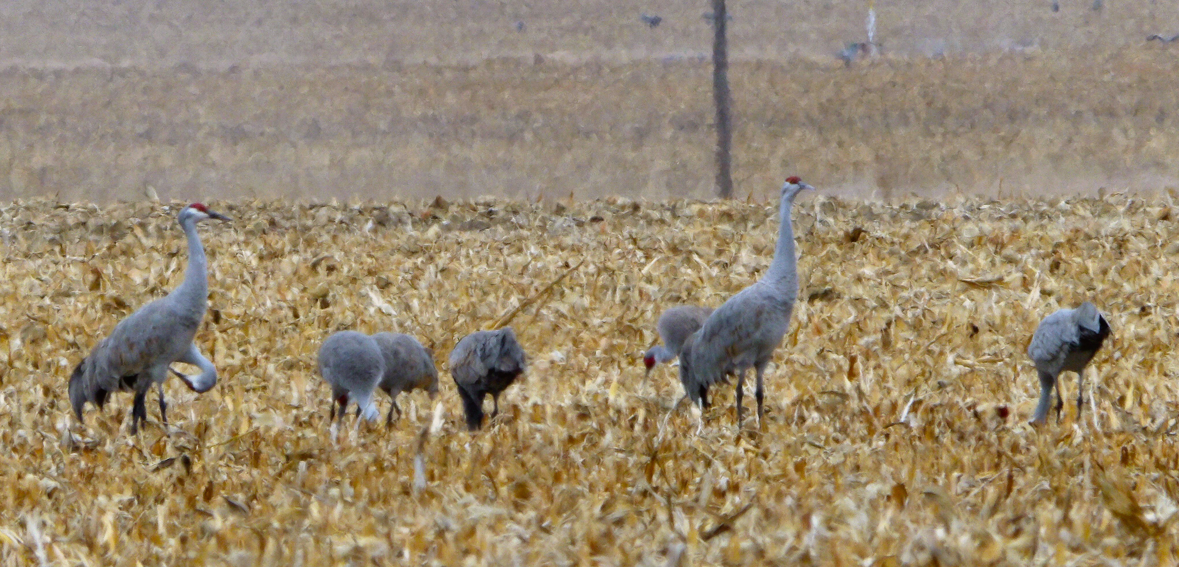
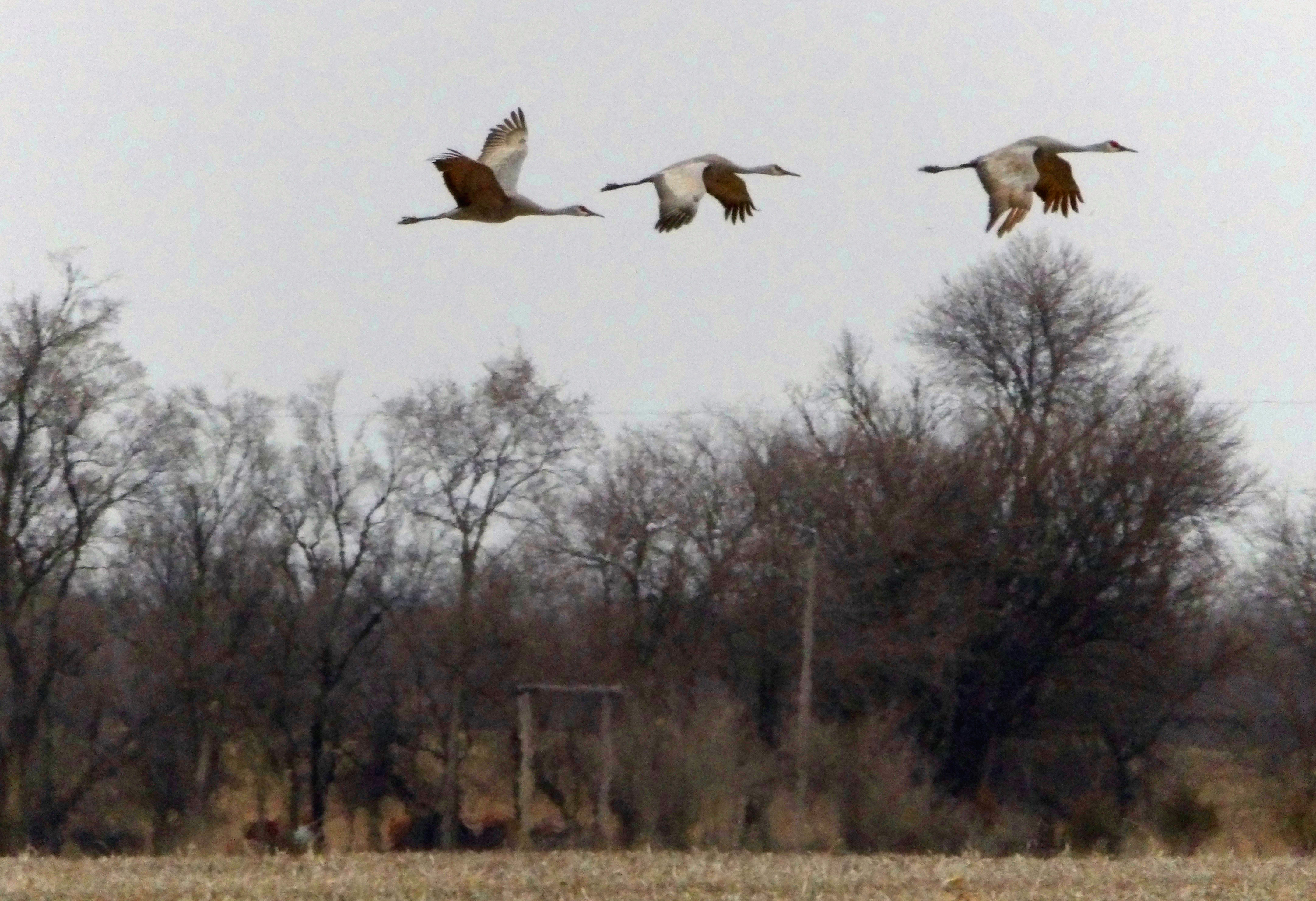
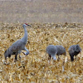
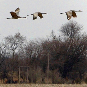
The Sandhill cranes stop in Nebraska to get food and wait for weather to warm in Canada, where they nest in the summer. |
The Sandhill Cranes were flying over the fields of central Nebraska. They stop over in Nebraska during March on their way north toward Canada. |
|
 |
 |
 |
 |
|
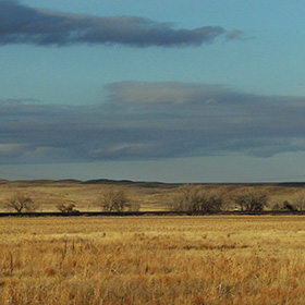
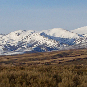
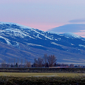
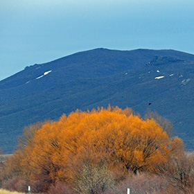
The landscape of western Nebraska has some hills, and the golden grasses of March glow in the light of the setting sun. |
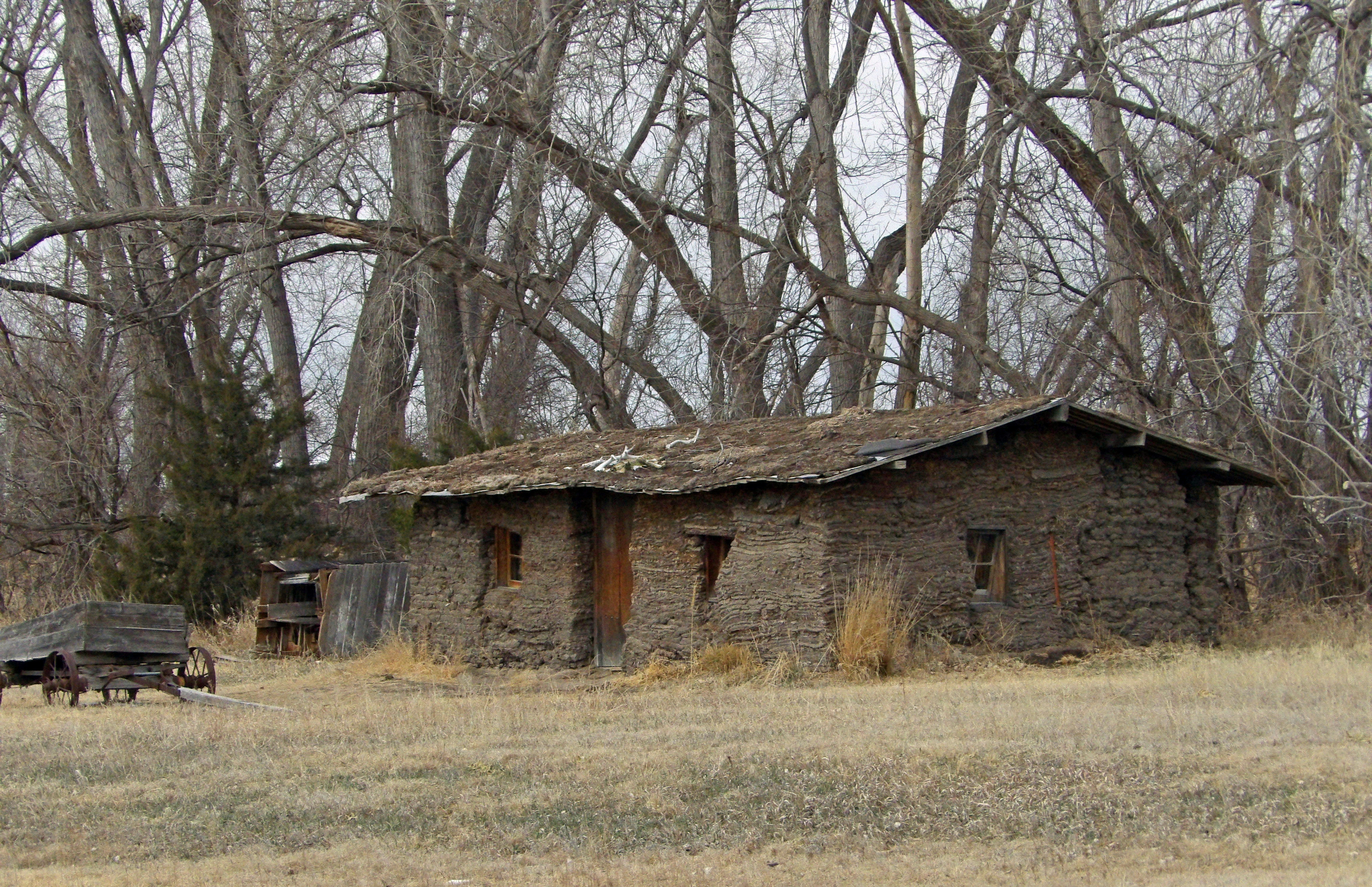
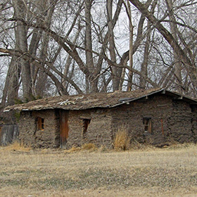
This is the Sod House in North Platte, Nebraska. People in Nebraska did not have trees to make log cabins, so they built sod houses of roots and soil. |
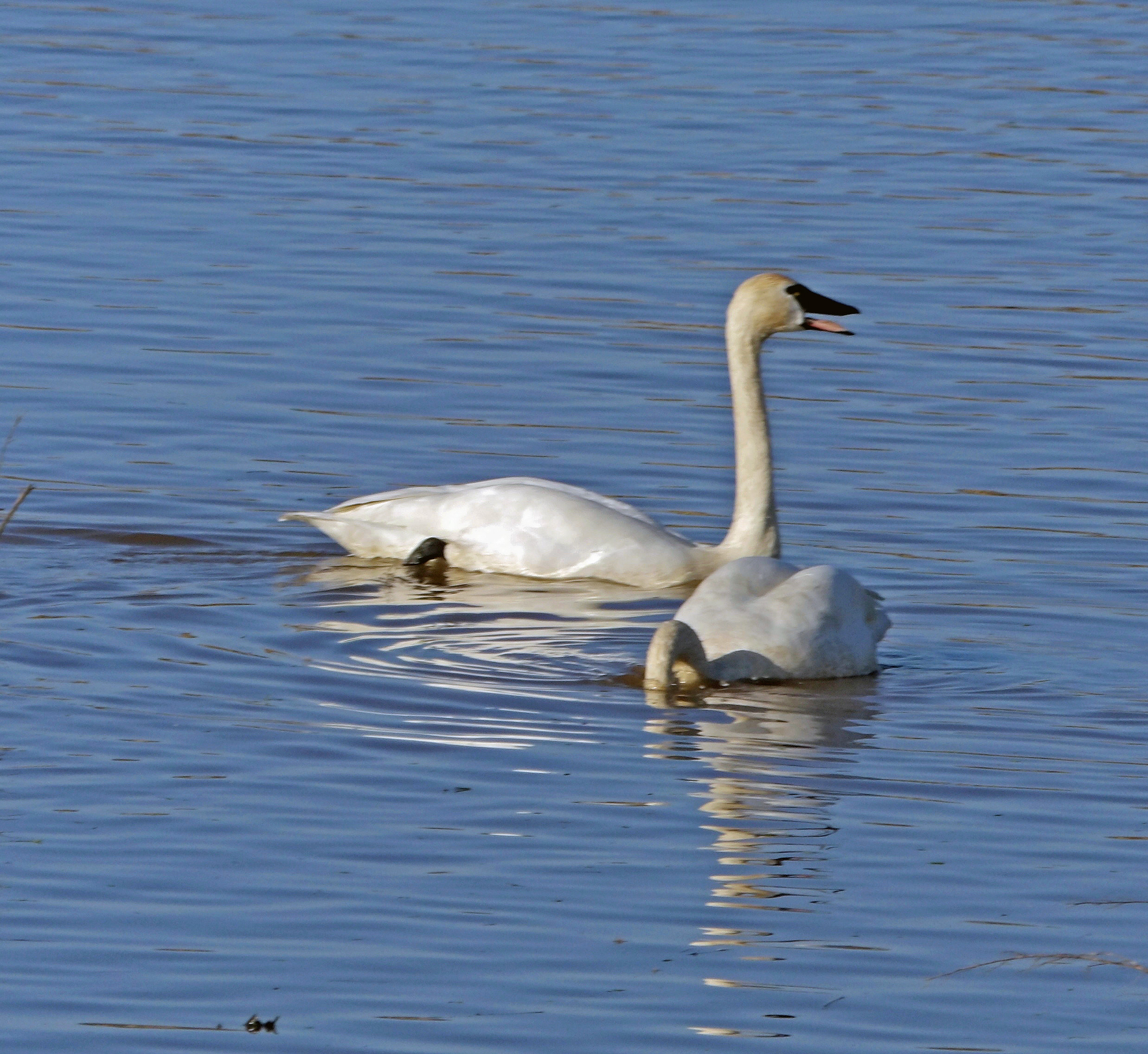
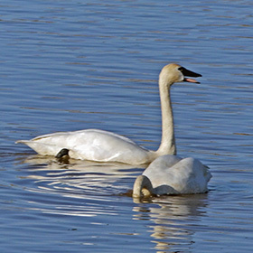
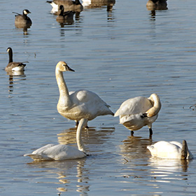
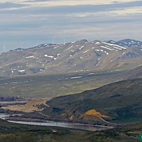
Trumpeter Swans are huge birds. Some of them spend winter on Grand Island (along the Willamette, in Oregon) and can be seen in March. |
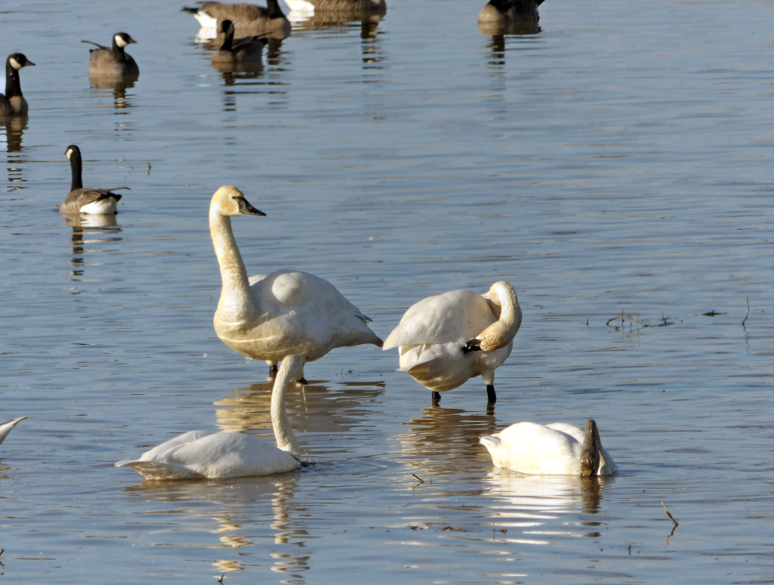
The Trumpeter Swans and Dusky Canadian Geese like to swim in the flooded fields on Grand Island, near Dayton, Oregon. |
|
 |
 |
 |
 |
|
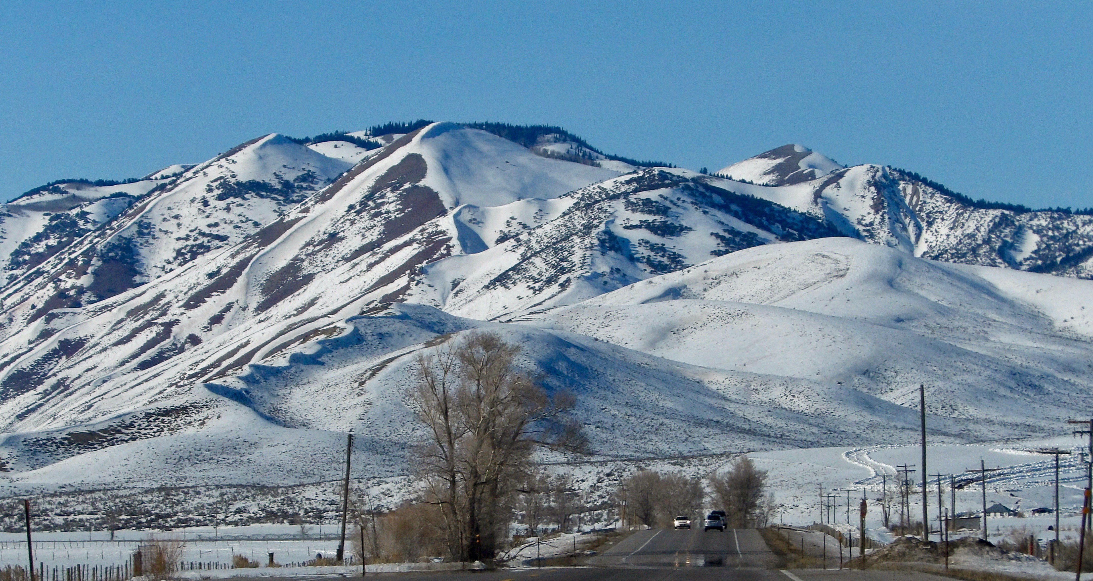
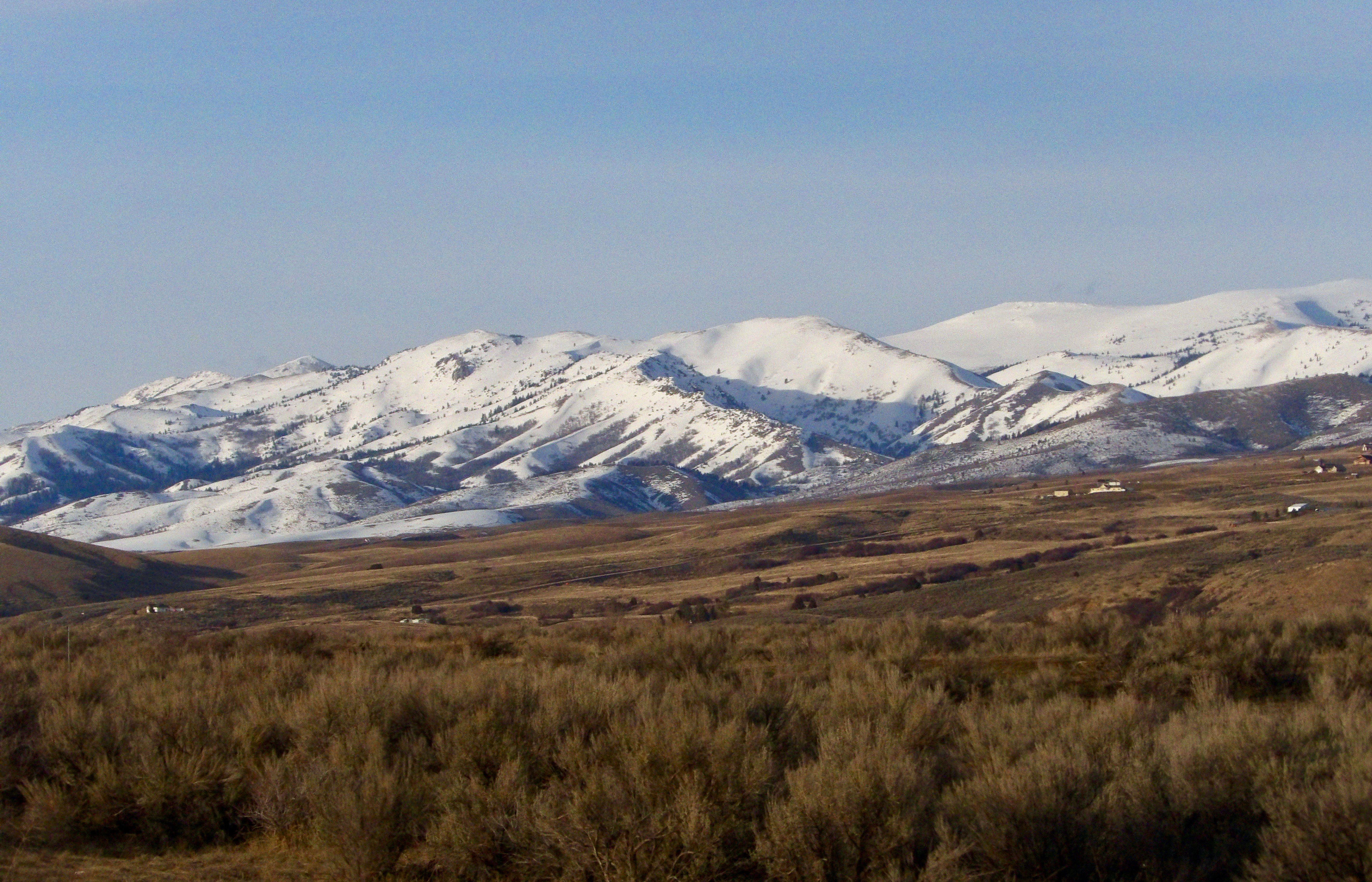
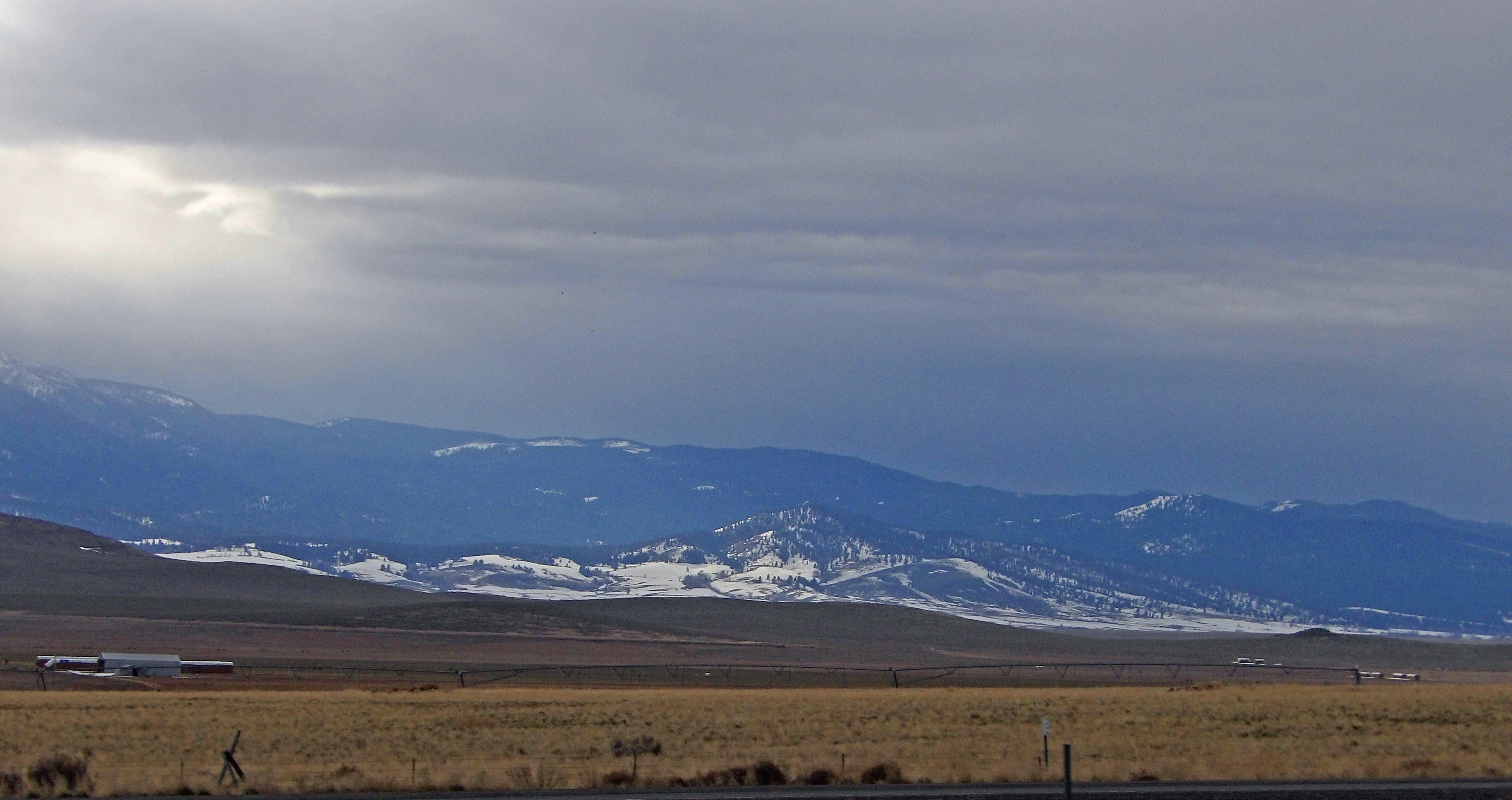
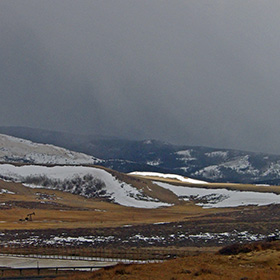
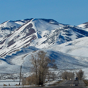
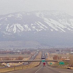
The Medicine Bow Mountains rise up to the west of Laramie, and are easy to see to the south as one drives west on the I-80 out of Laramie. |
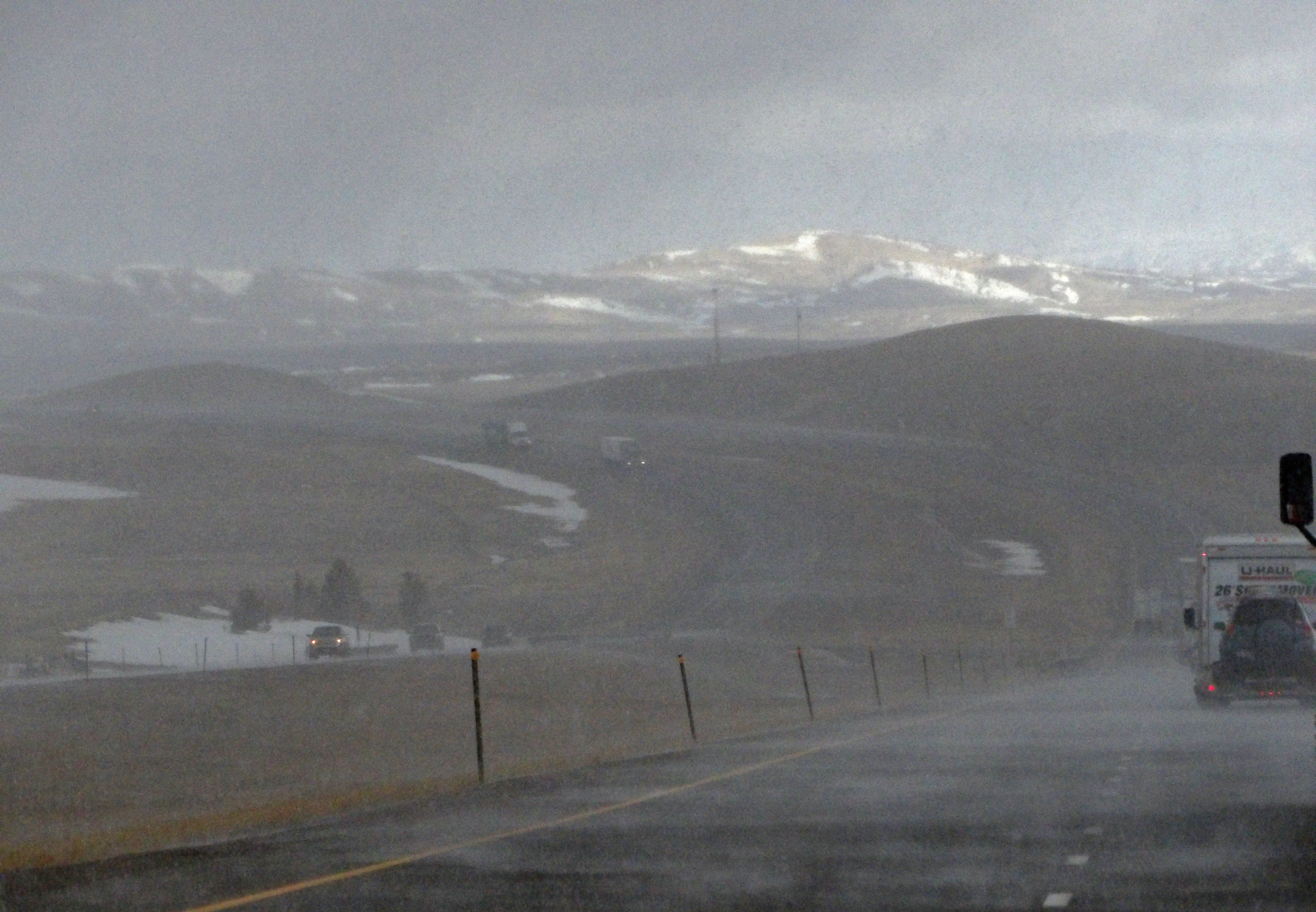
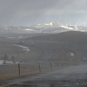
Between Laramie and Elk Mountain I encountered scattered snow squalls and powerful wind gusts of up to 60 miles per hour. |
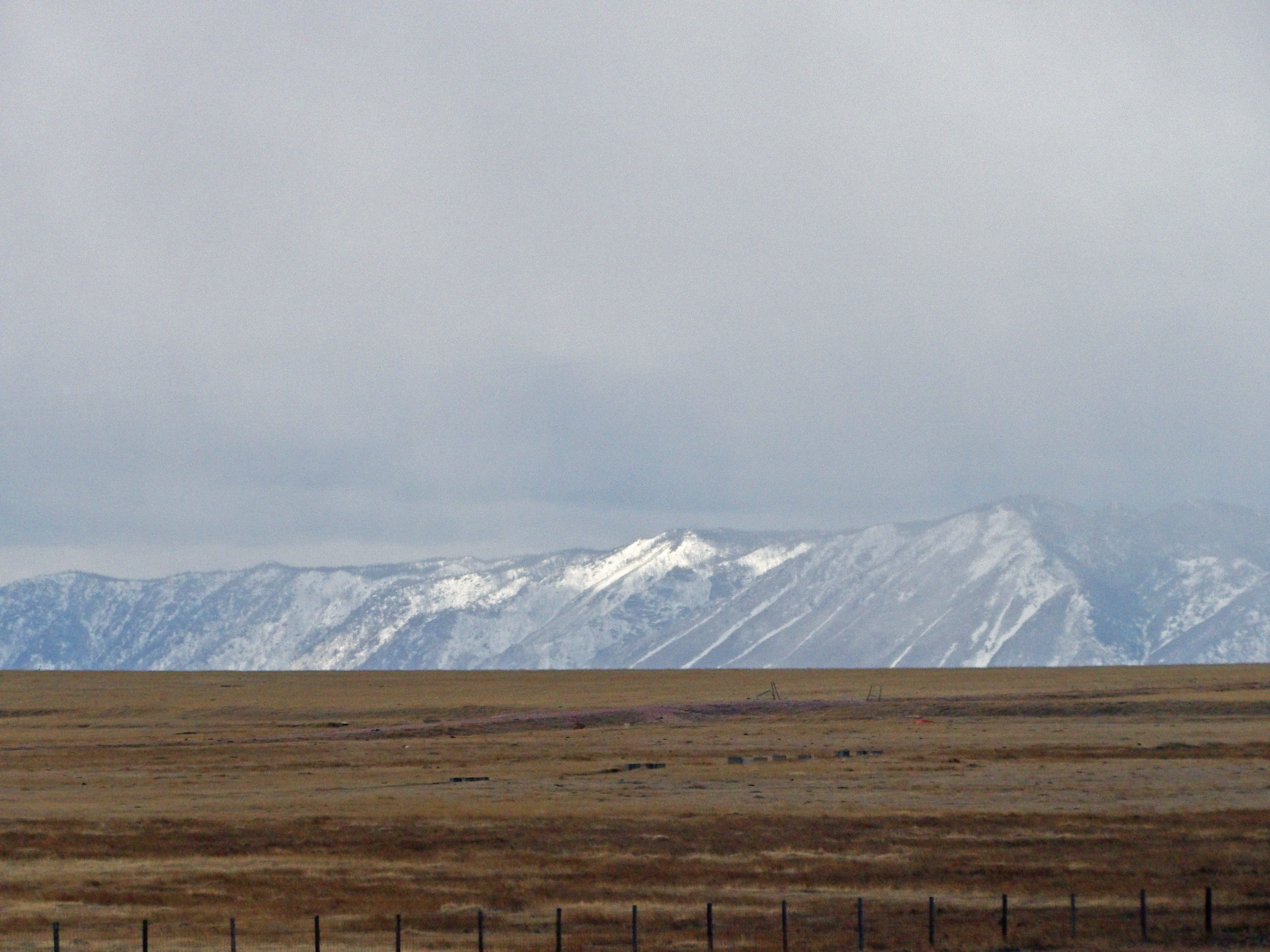
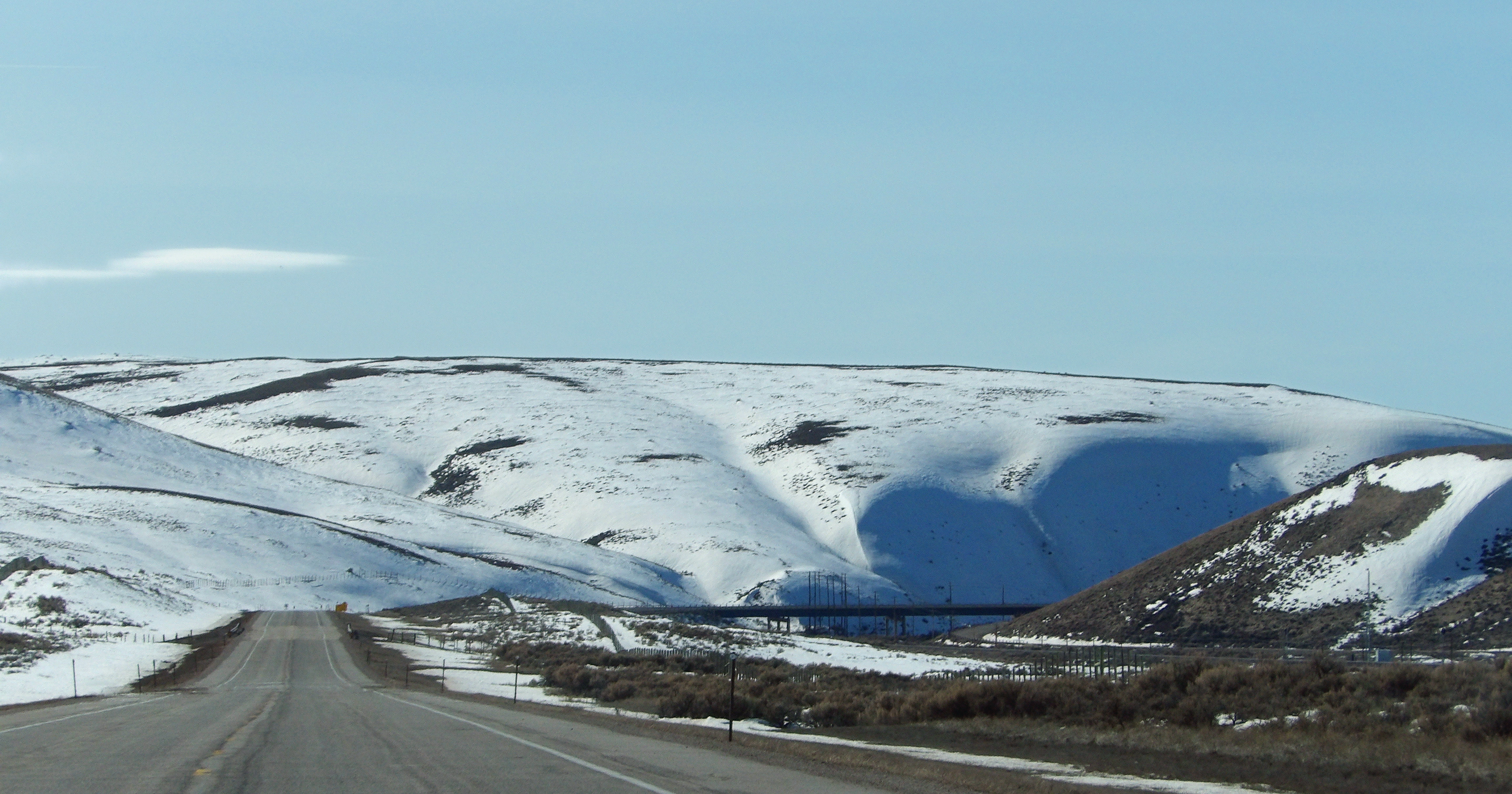
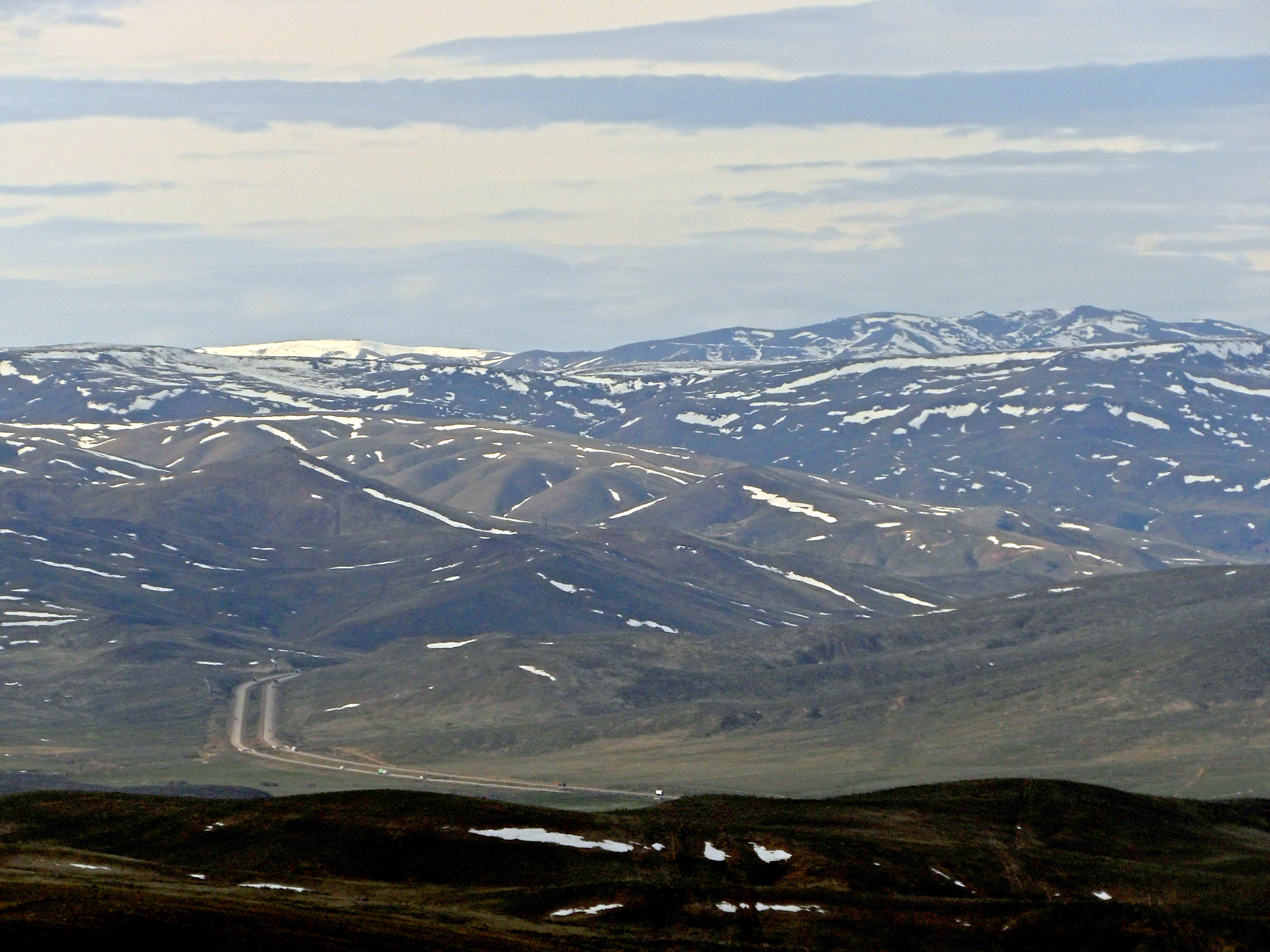
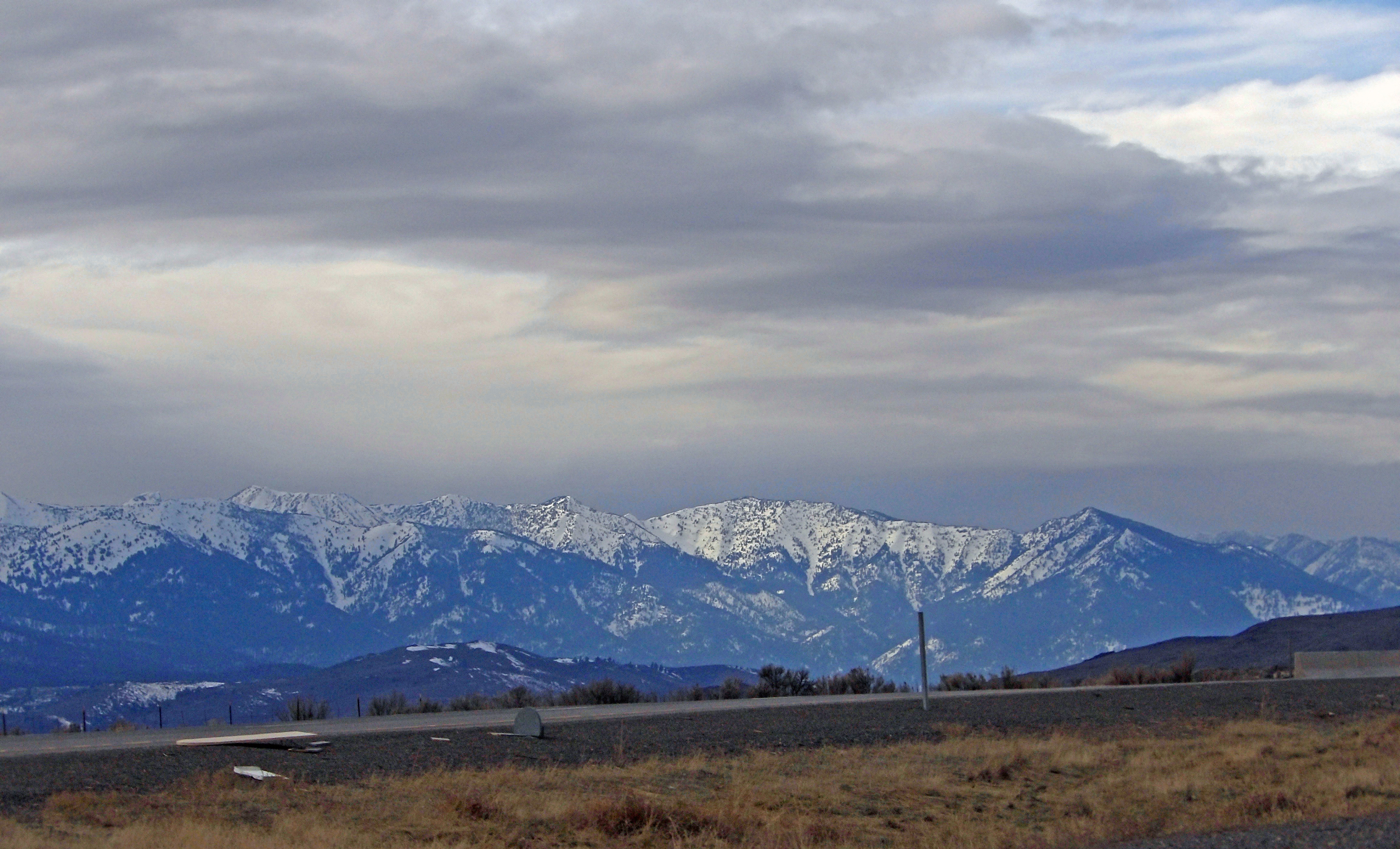
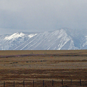
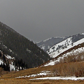
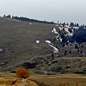
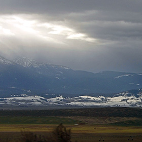
In mid-March the landscape of southern Wyoming along I-84 still had significant patches of snow in the higher elevations. |
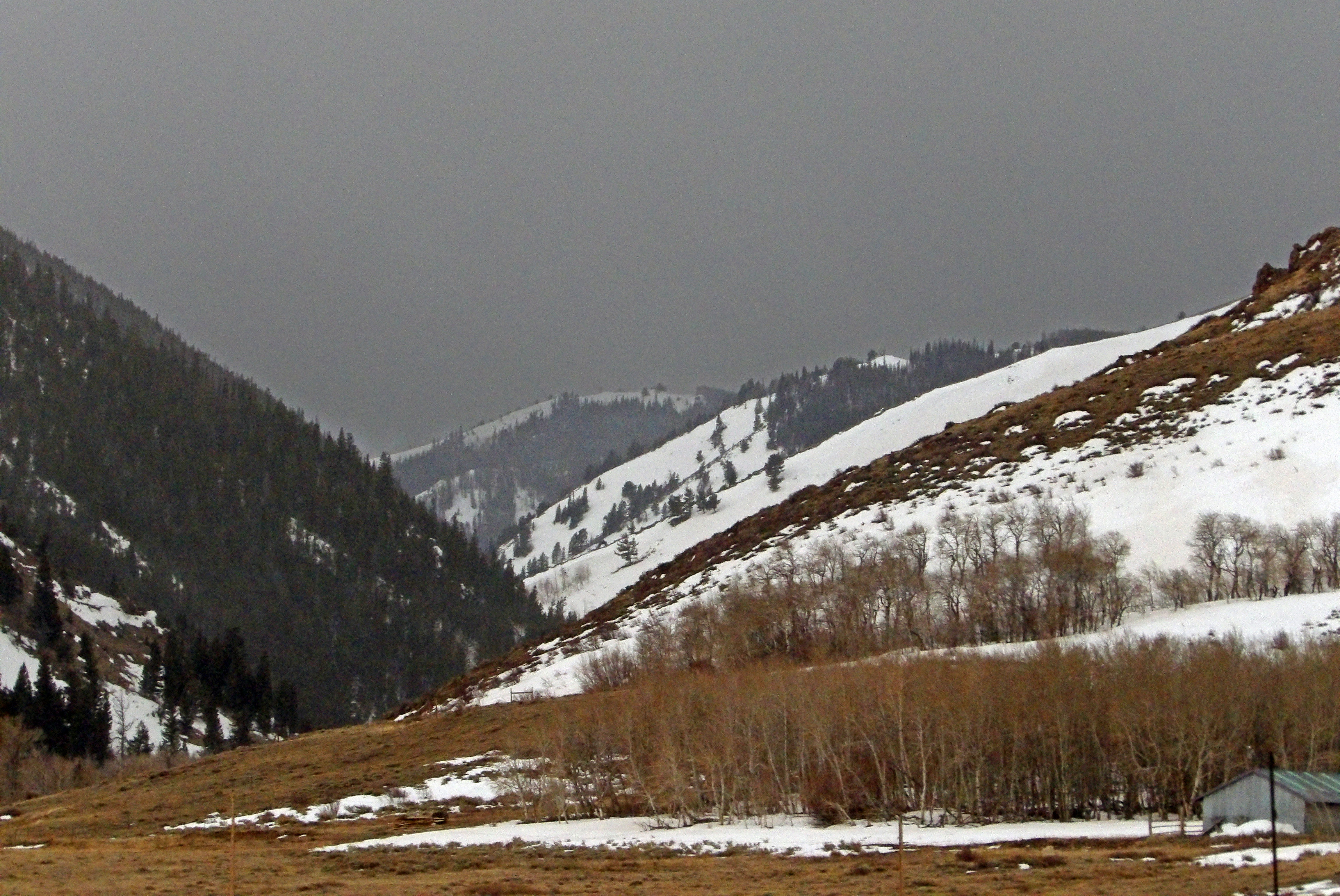
As I-84 went through the northern end of the Medicine Bow Mountains near Mule Creek I could see some forests. |
|
 |
 |
 |
 |
|
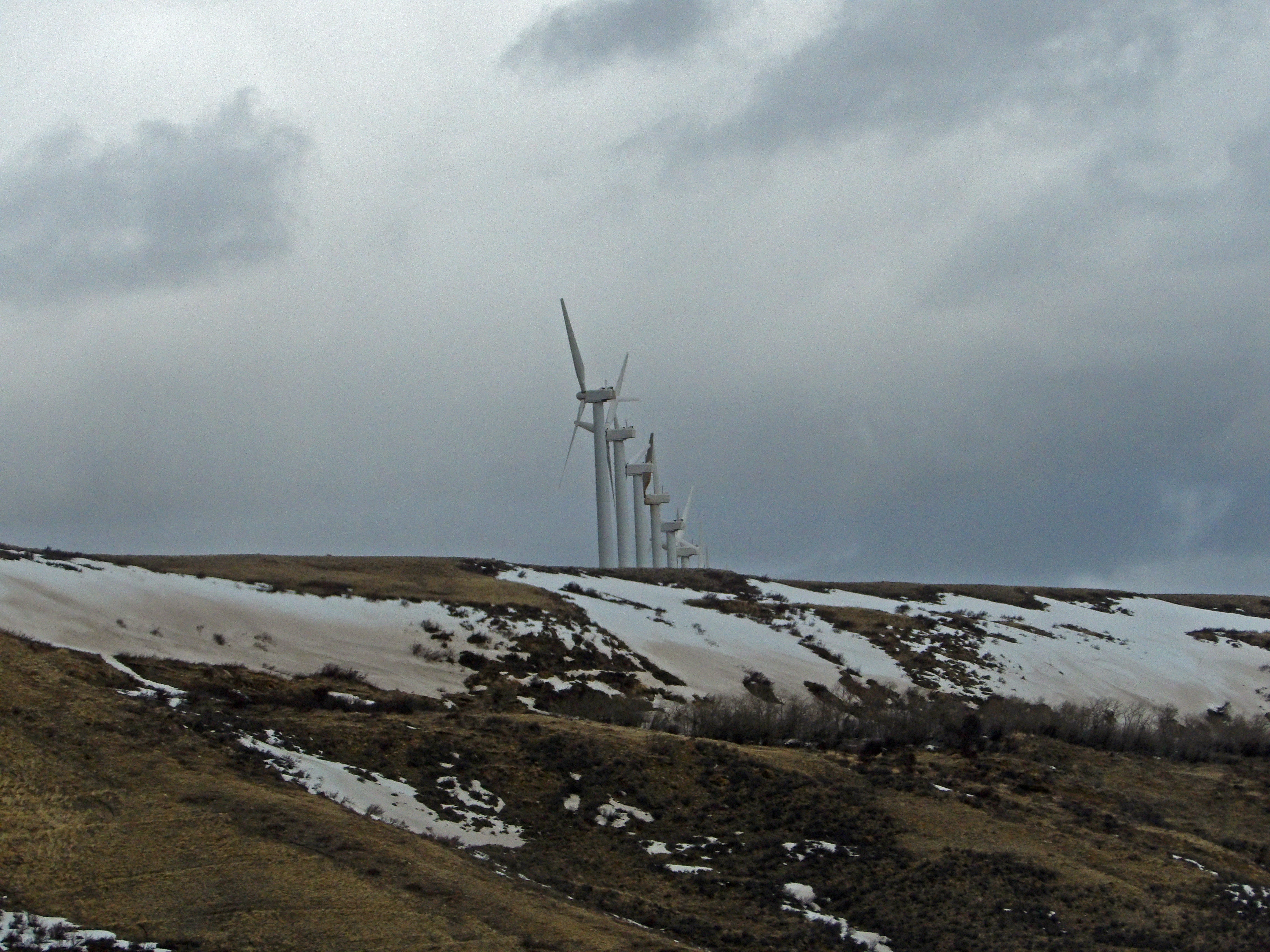
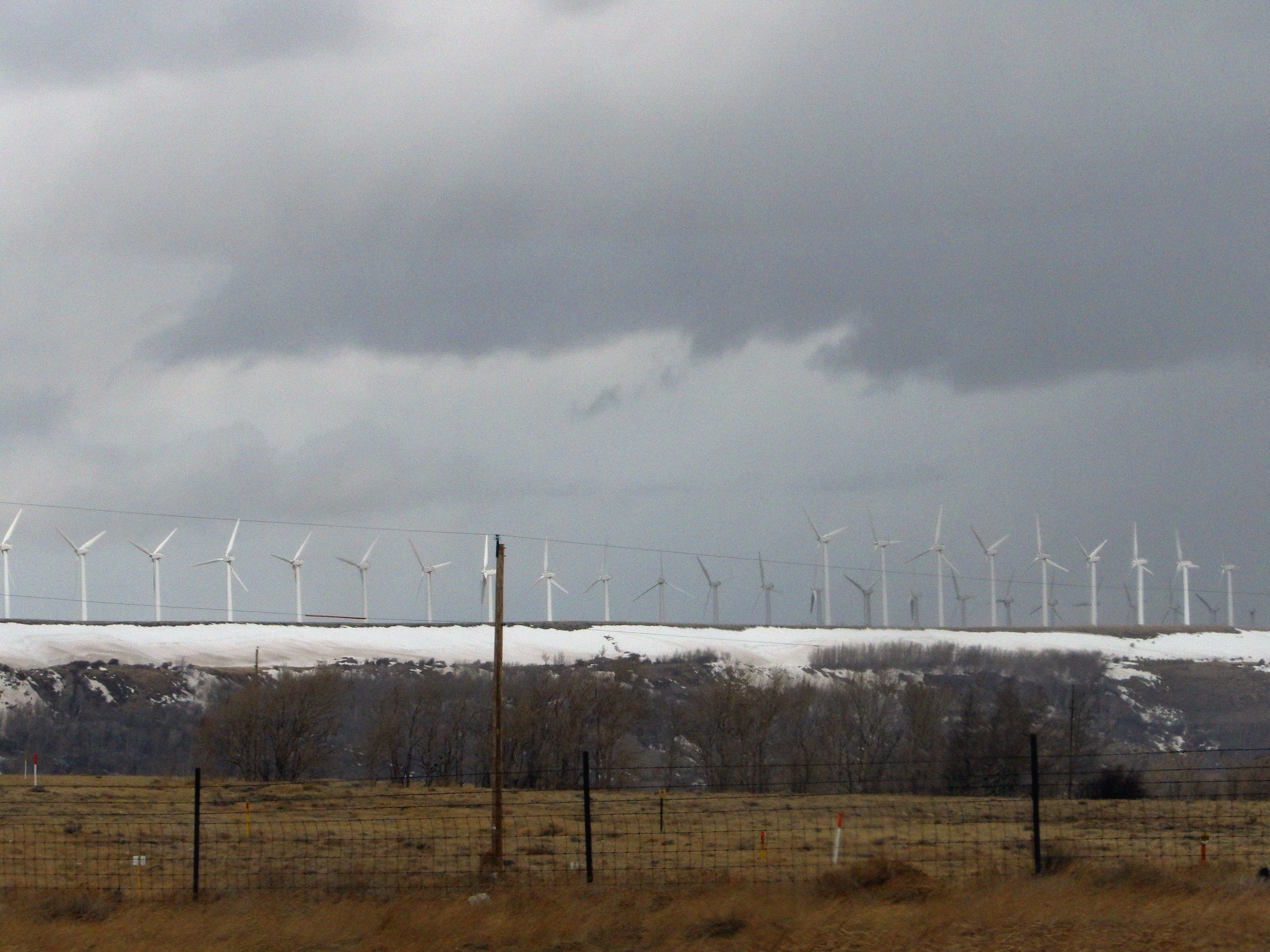
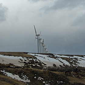
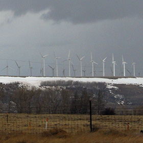
Wyoming has an economy dependent upon mineral and coal extraction (and livestock agriculture; and tourism). Wind generated power is a growing sector of the economy, helping to replace the declining relevance of coal. |
Wyoming is a small state, with fewer than a million residents. Ranching and mining commercial interests are powerful. All the wind power generated in Wyoming must be “exported” to consumers outside Wyoming so that local power will be generated by fossil fuels. |
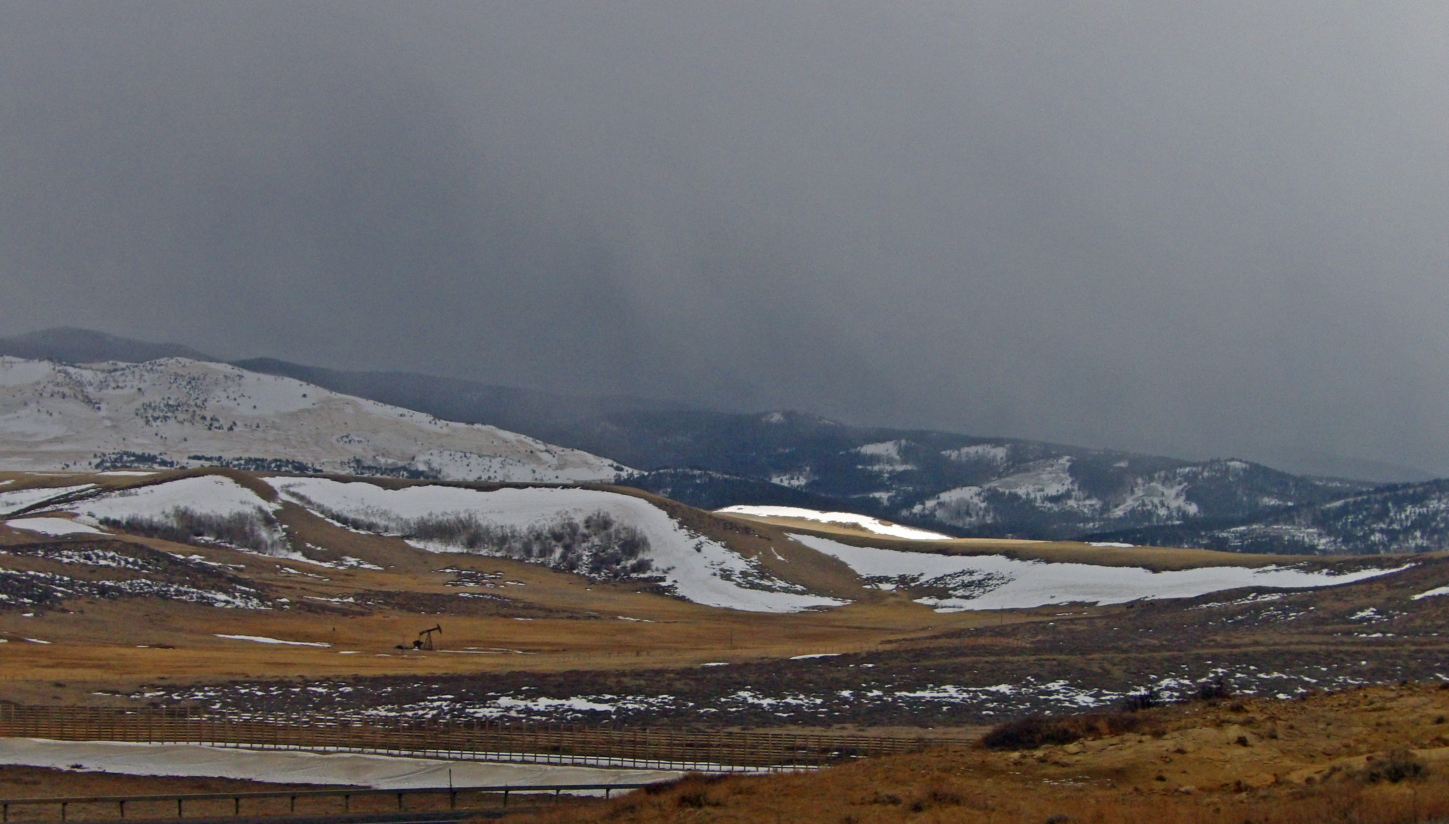
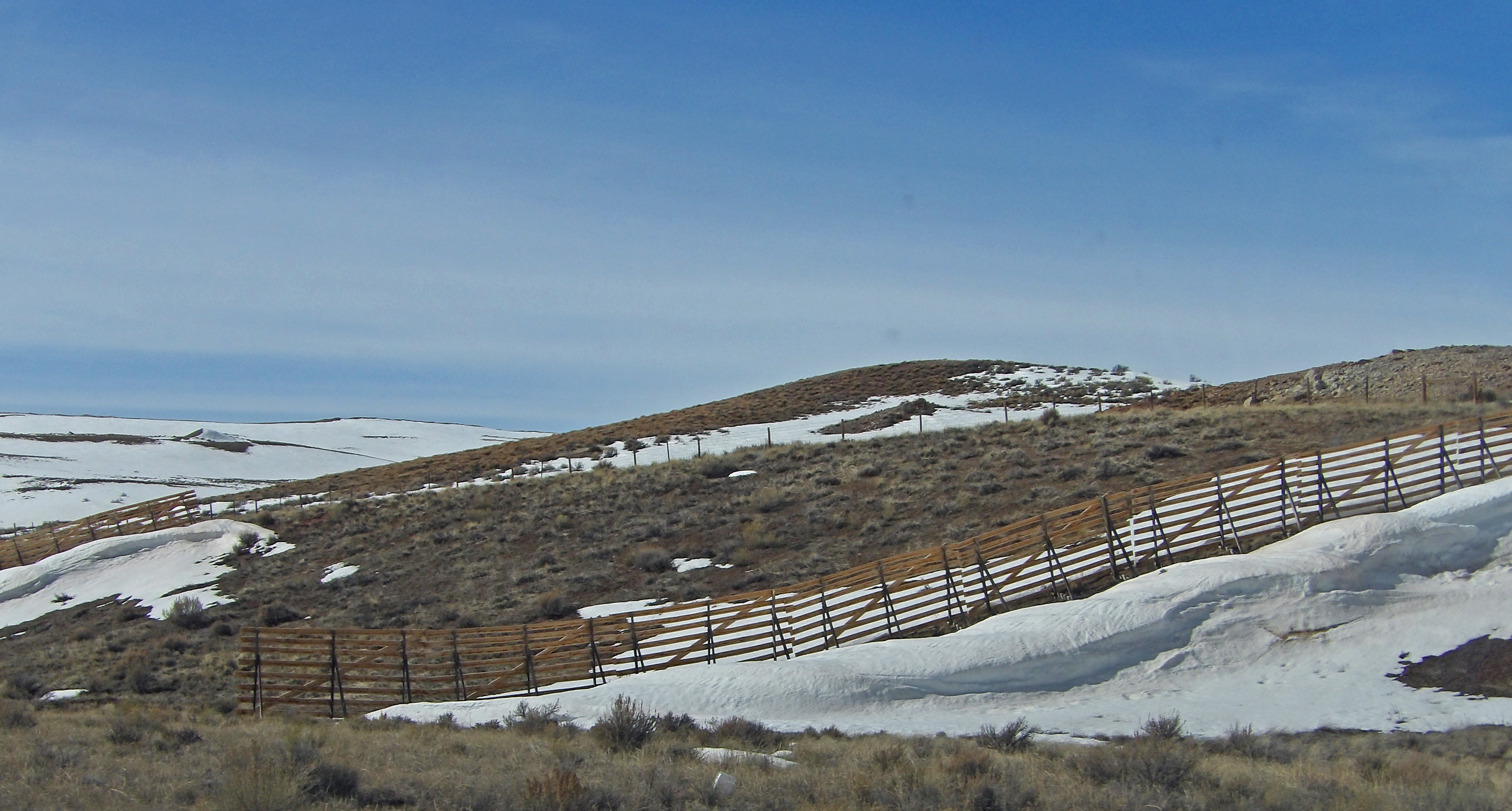
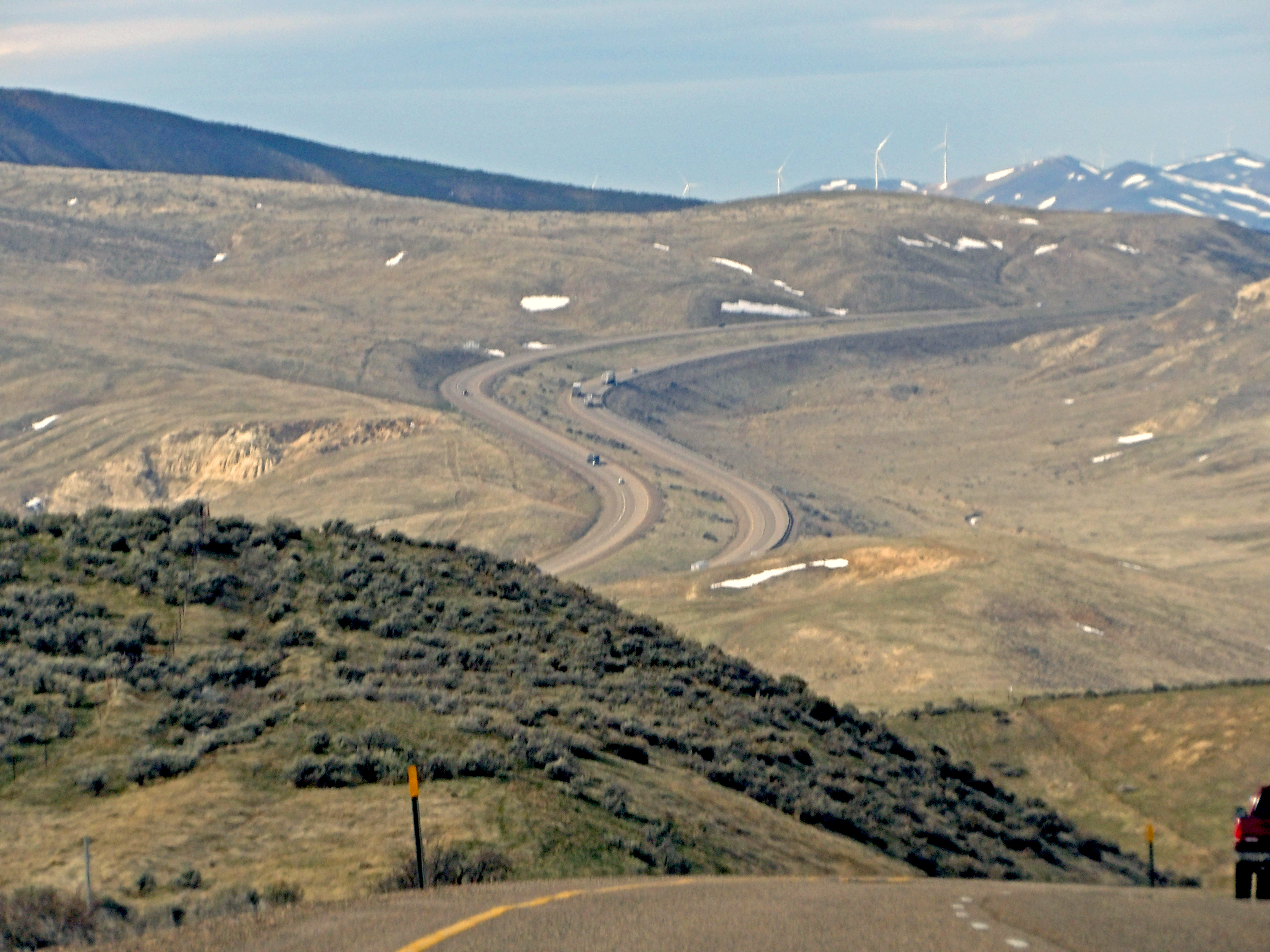
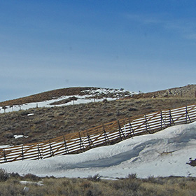
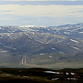
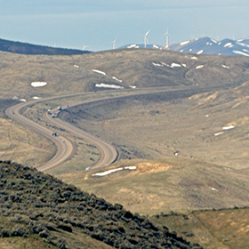
Wyoming is a high elevation state, and the I-80 pathway from east to west across the southern portion of the state is subjected to high winds and frequent snow storms. There are many snow fences to control drifting snow, and banks of snow were evident in March. |
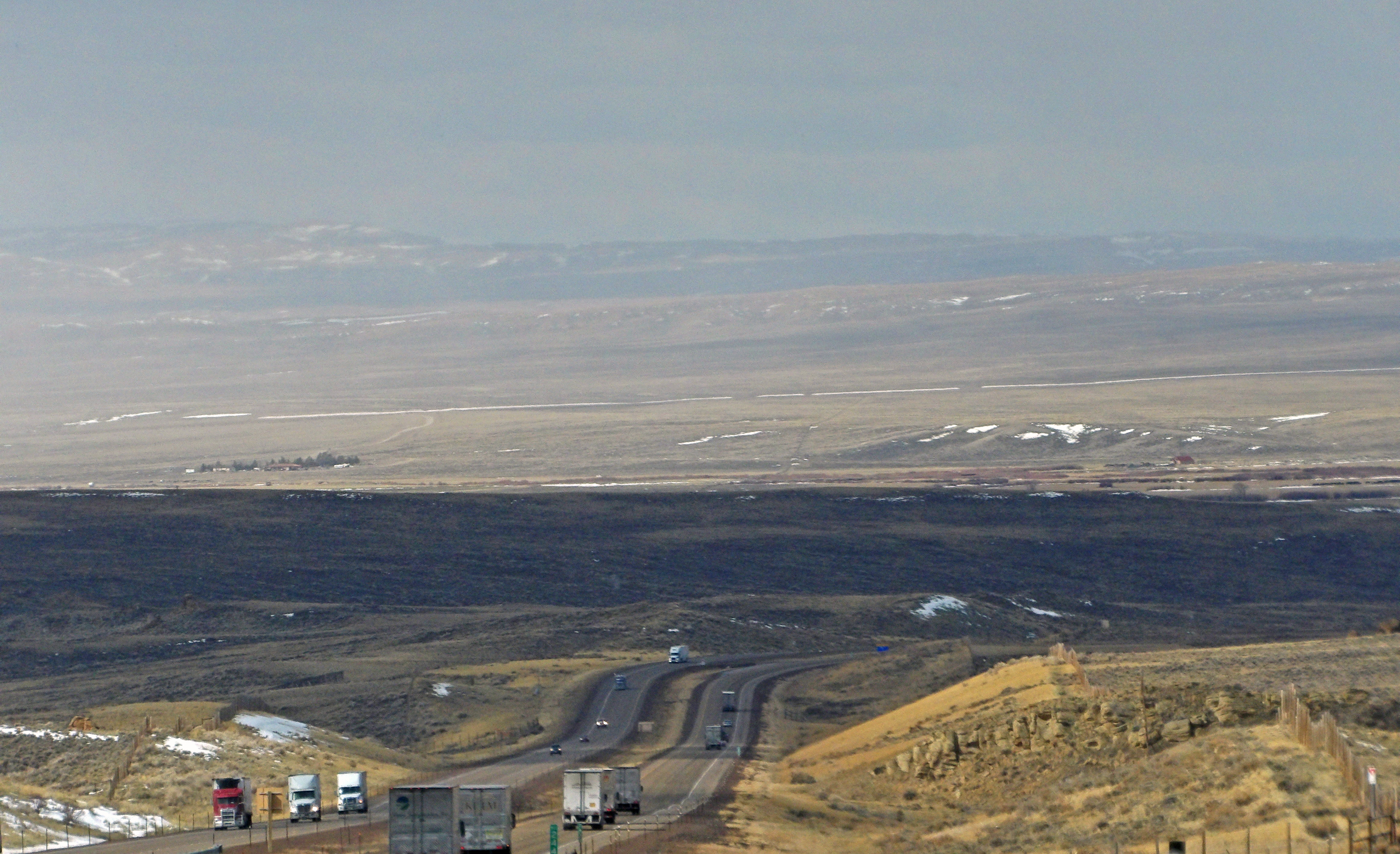
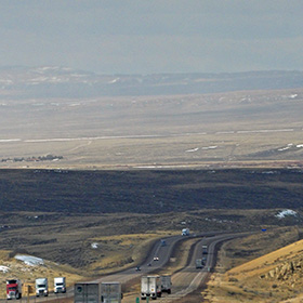
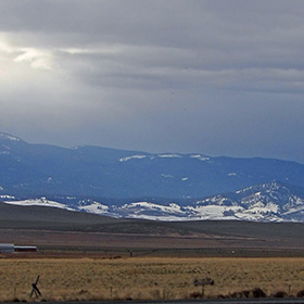
In Wyoming the landscape is often barren and empty, but the road (I-80) stretches on relentlessly across the land, carrying people toward Utah and Idaho or else Nebraska. |
|
 |
 |
 |
 |
|
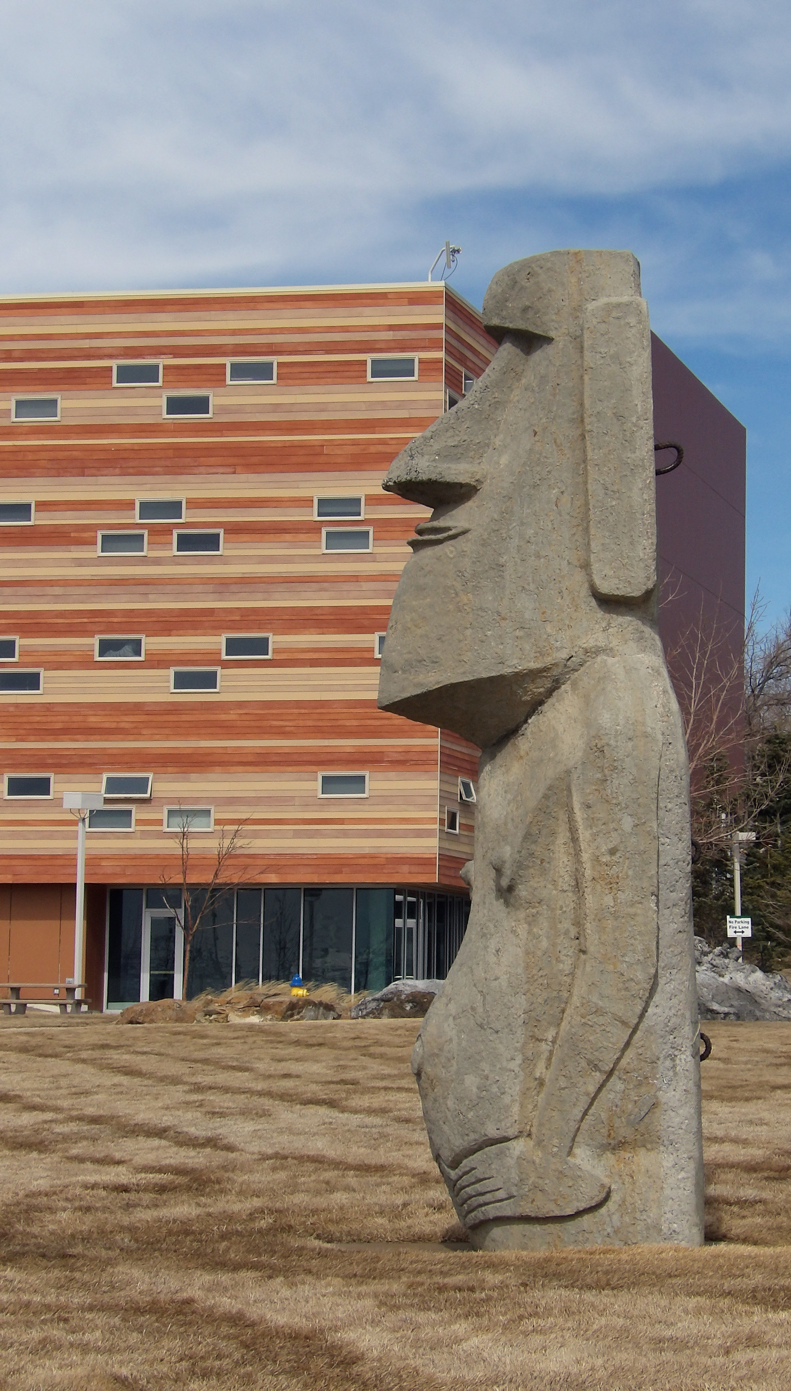
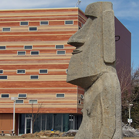
In Rock Springs it is possible to see this Moai statue that closely resembles the ones on Easter Island. |
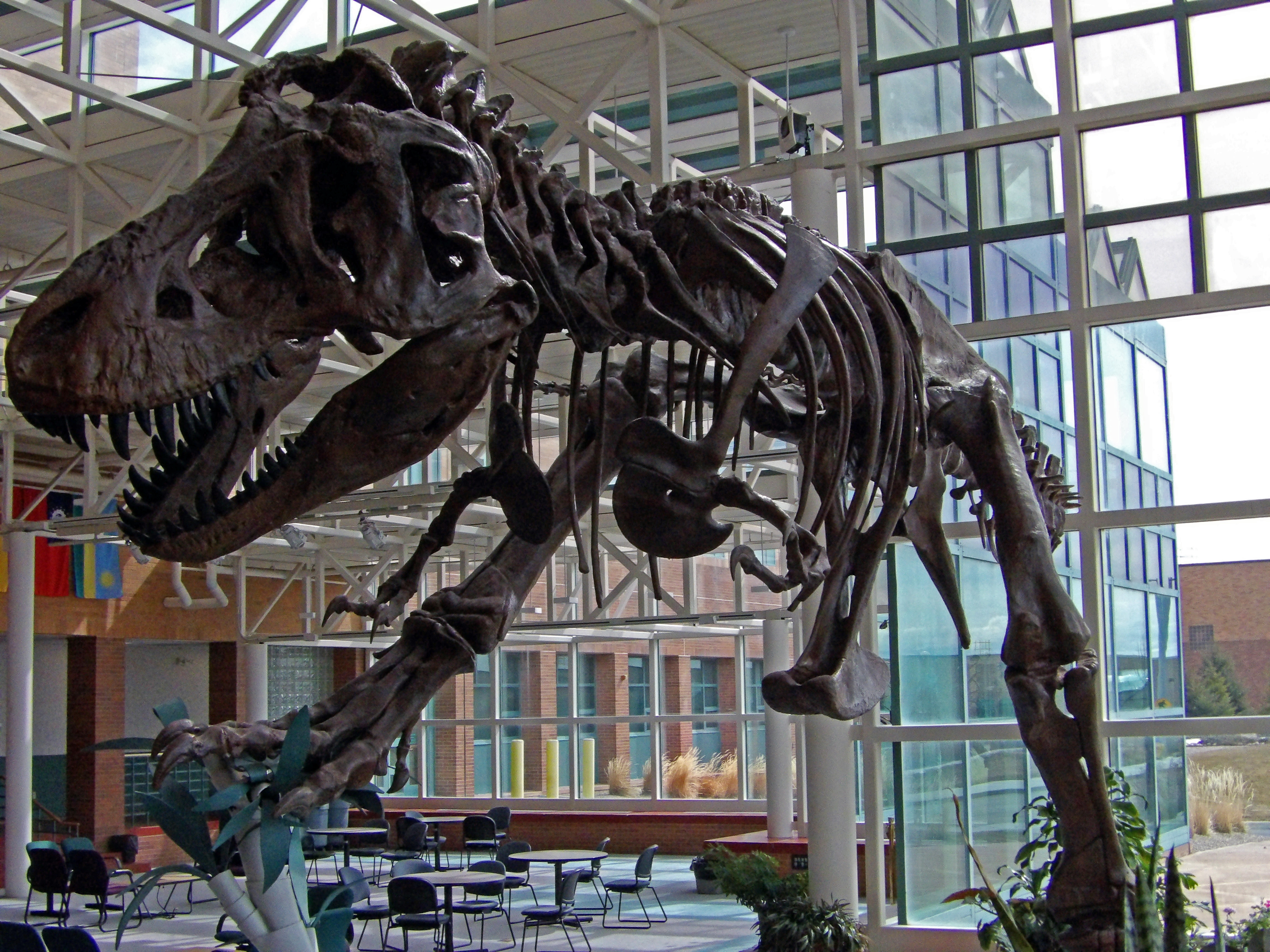
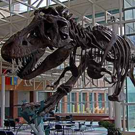
The college of Western Wyoming in Rock Springs has a fine collection of paleontology and geology exhibits. |
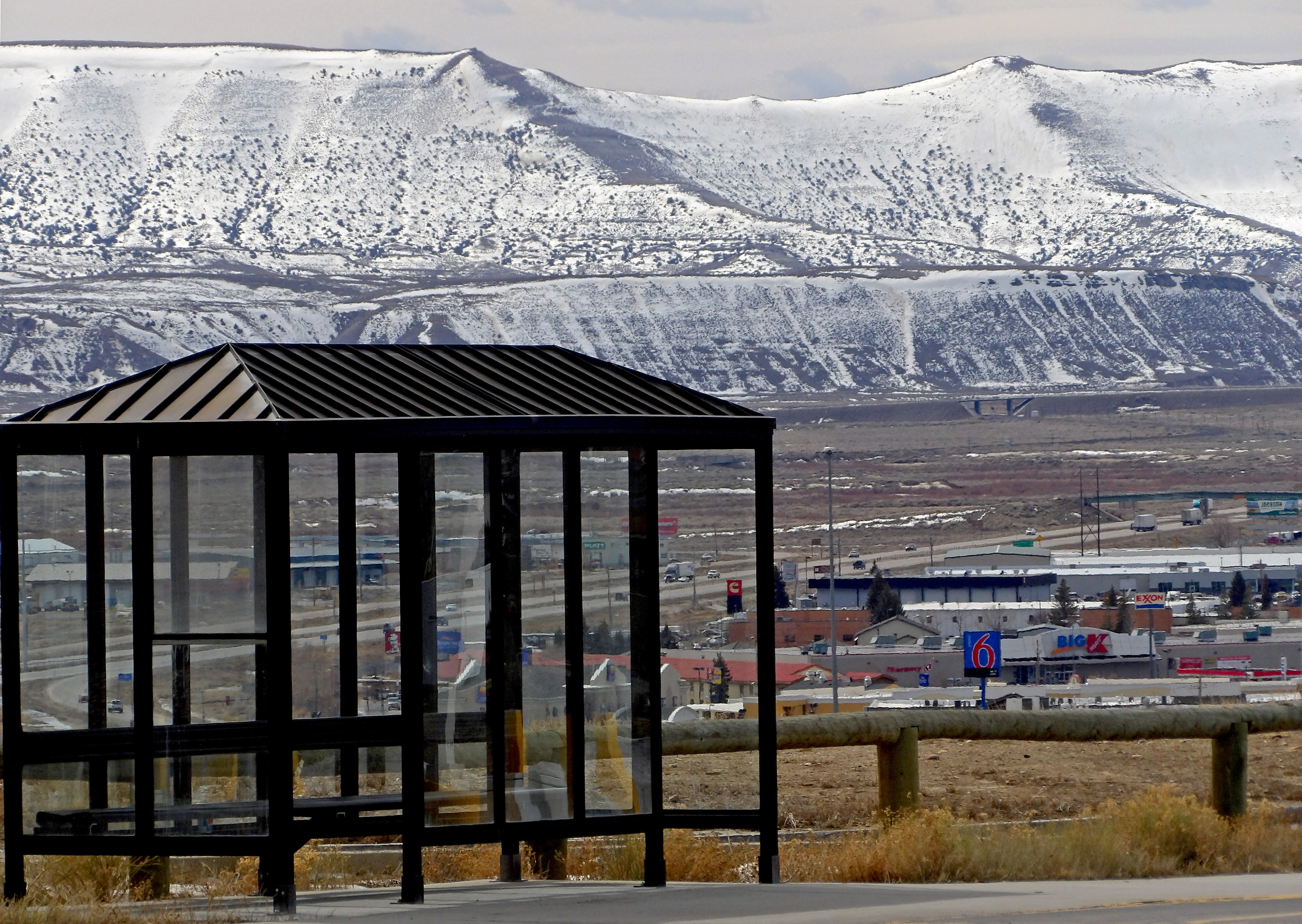
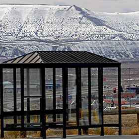
This bus stop on the campus of Western Wyoming Community College has a good view. |
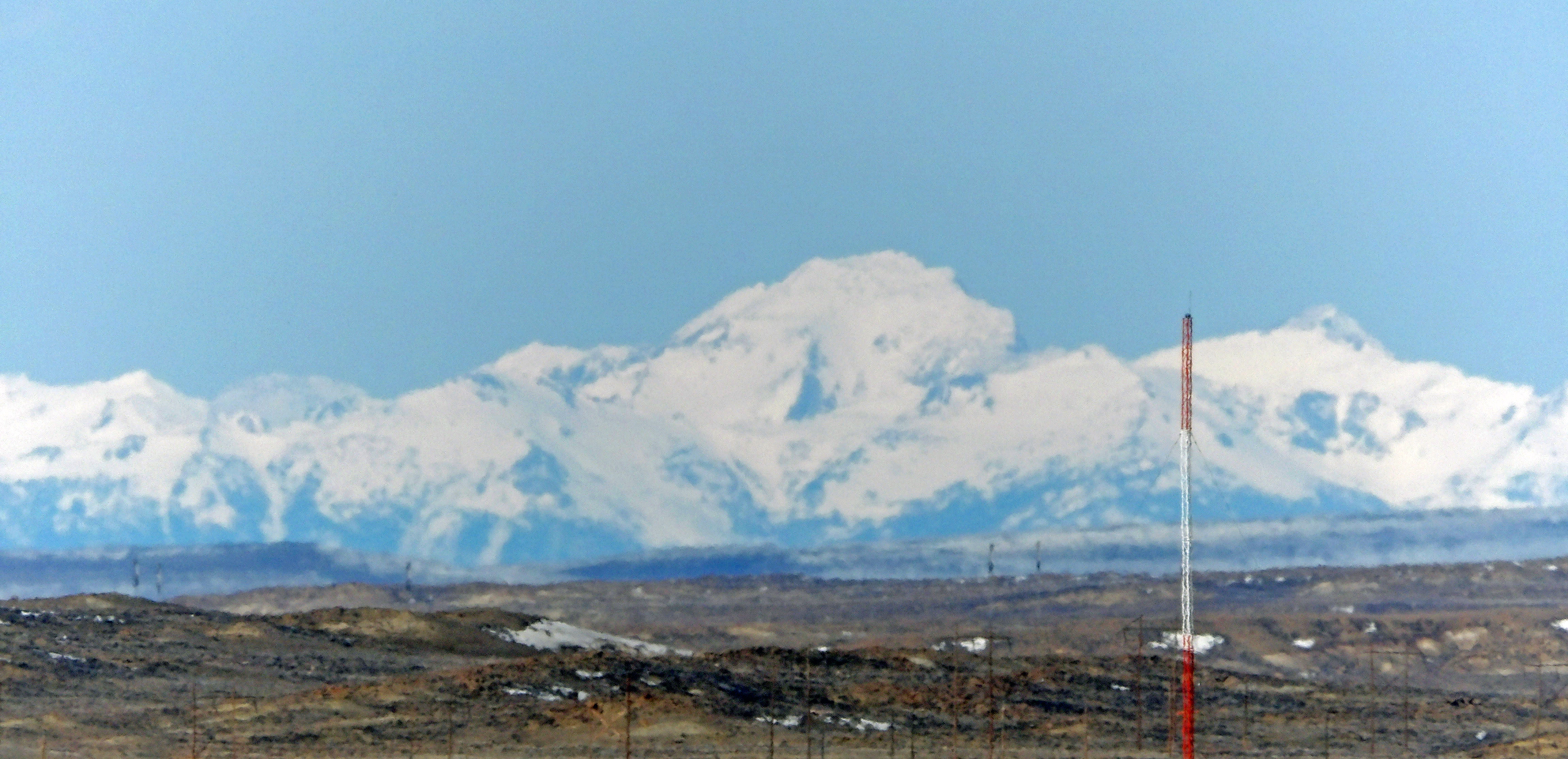
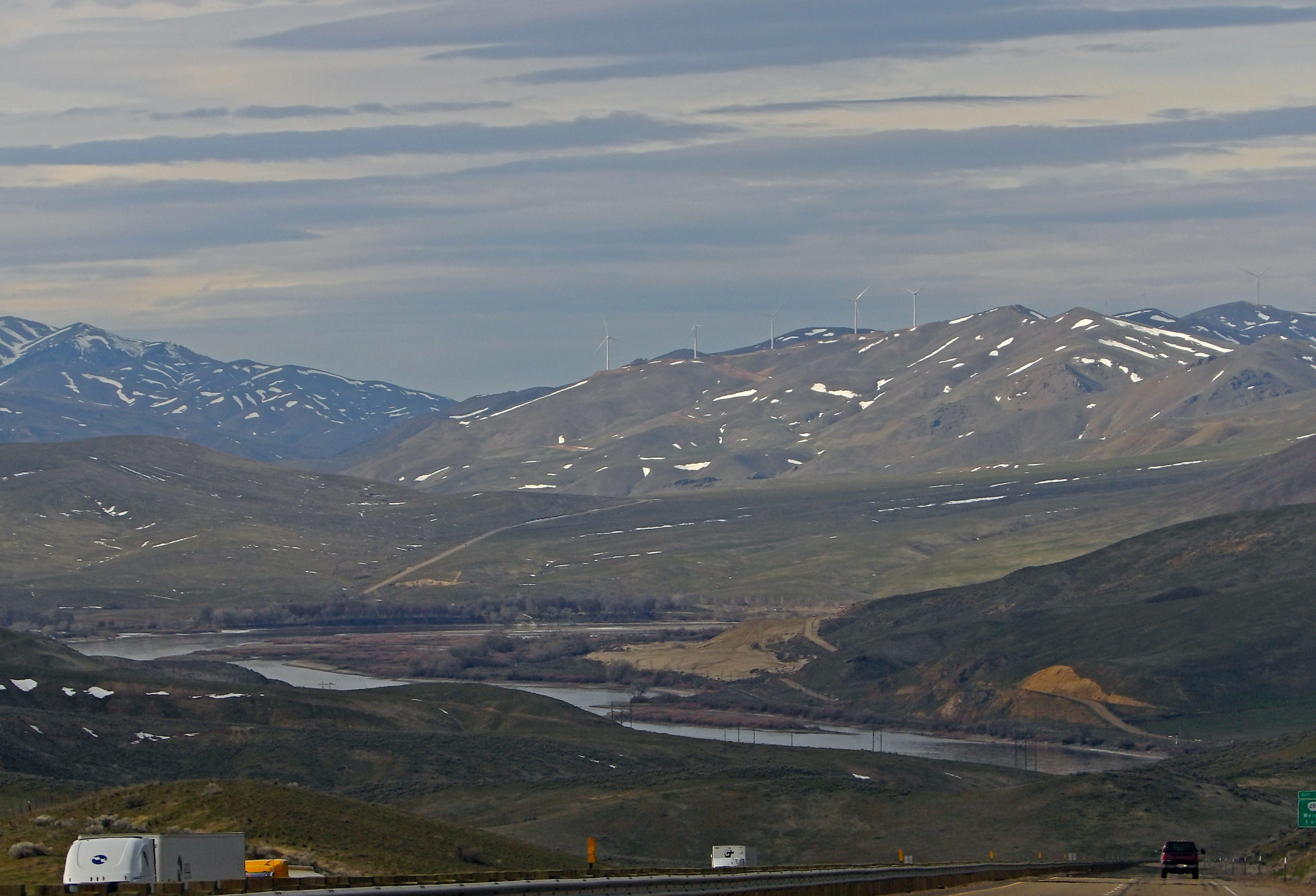
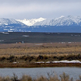
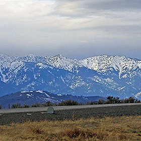
From Rock Springs, Wyoming it is possible to look north across the plains to see the Wind River Mountains. |
|
 |
 |
 |
 |
|
Wyoming landscape near Green River, just west of Rock Springs. |
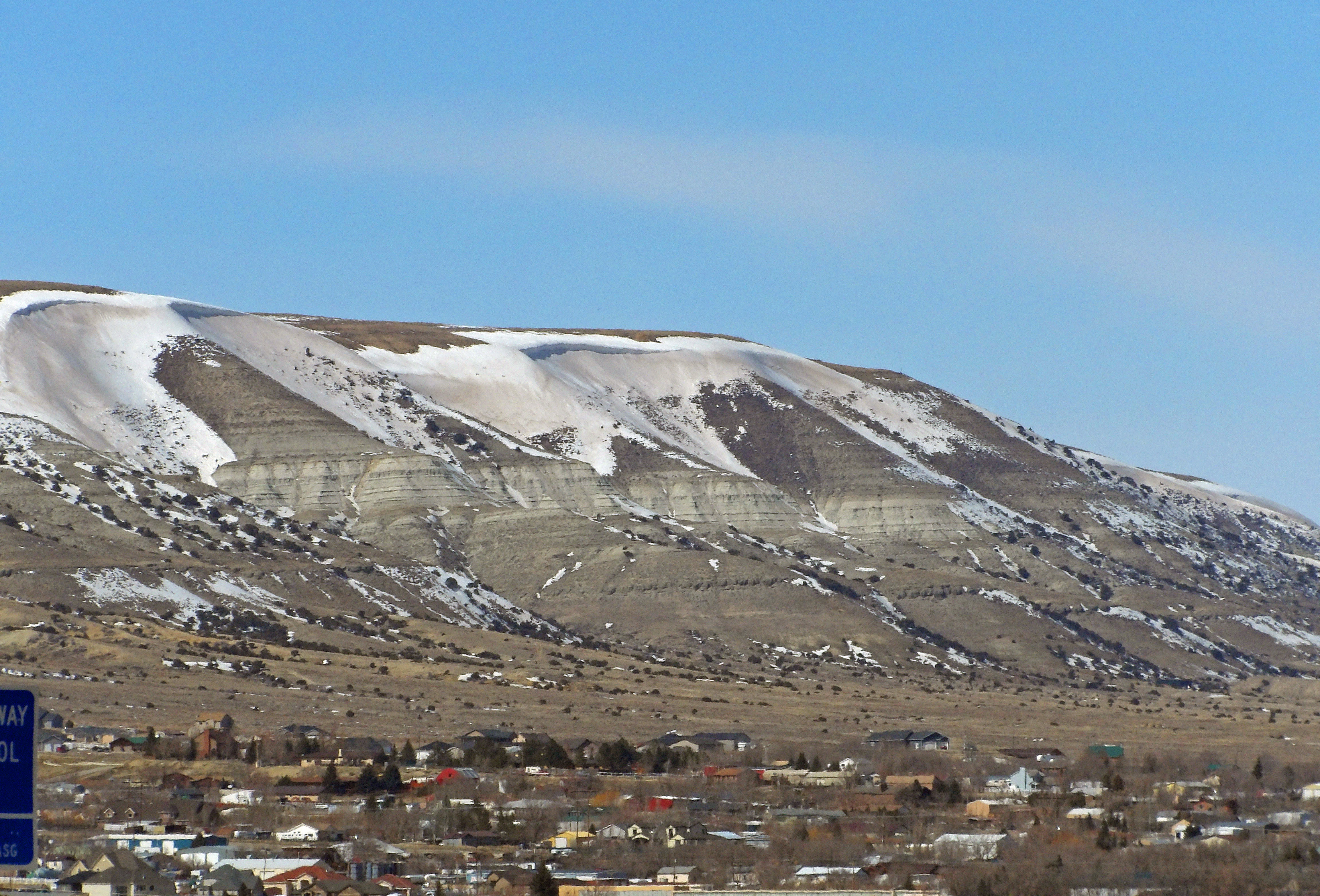
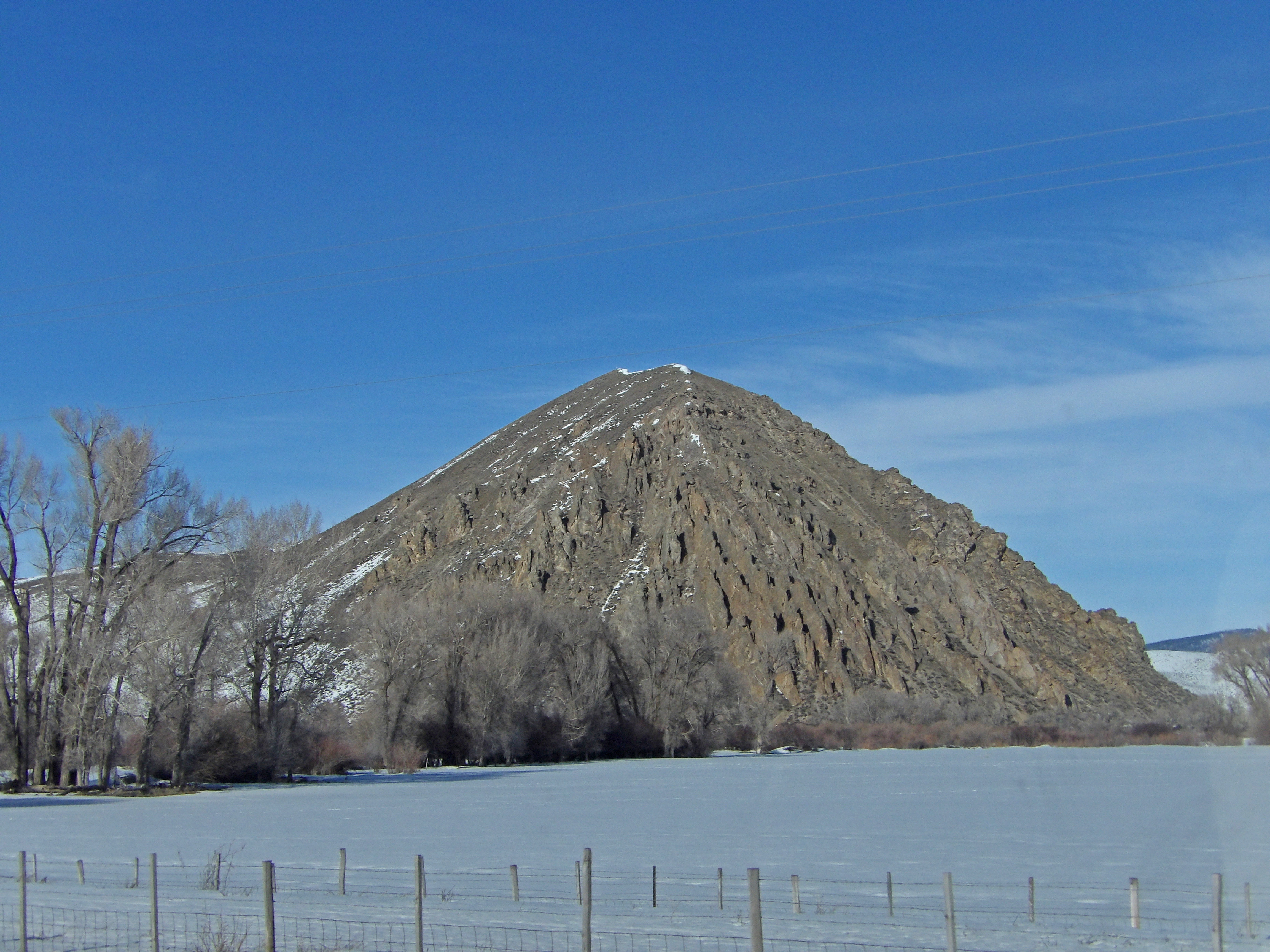
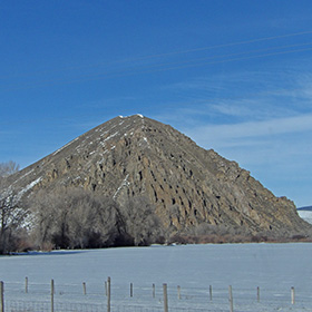
Pilot Butte rises to the northwest of Rock Springs, Wyoming |
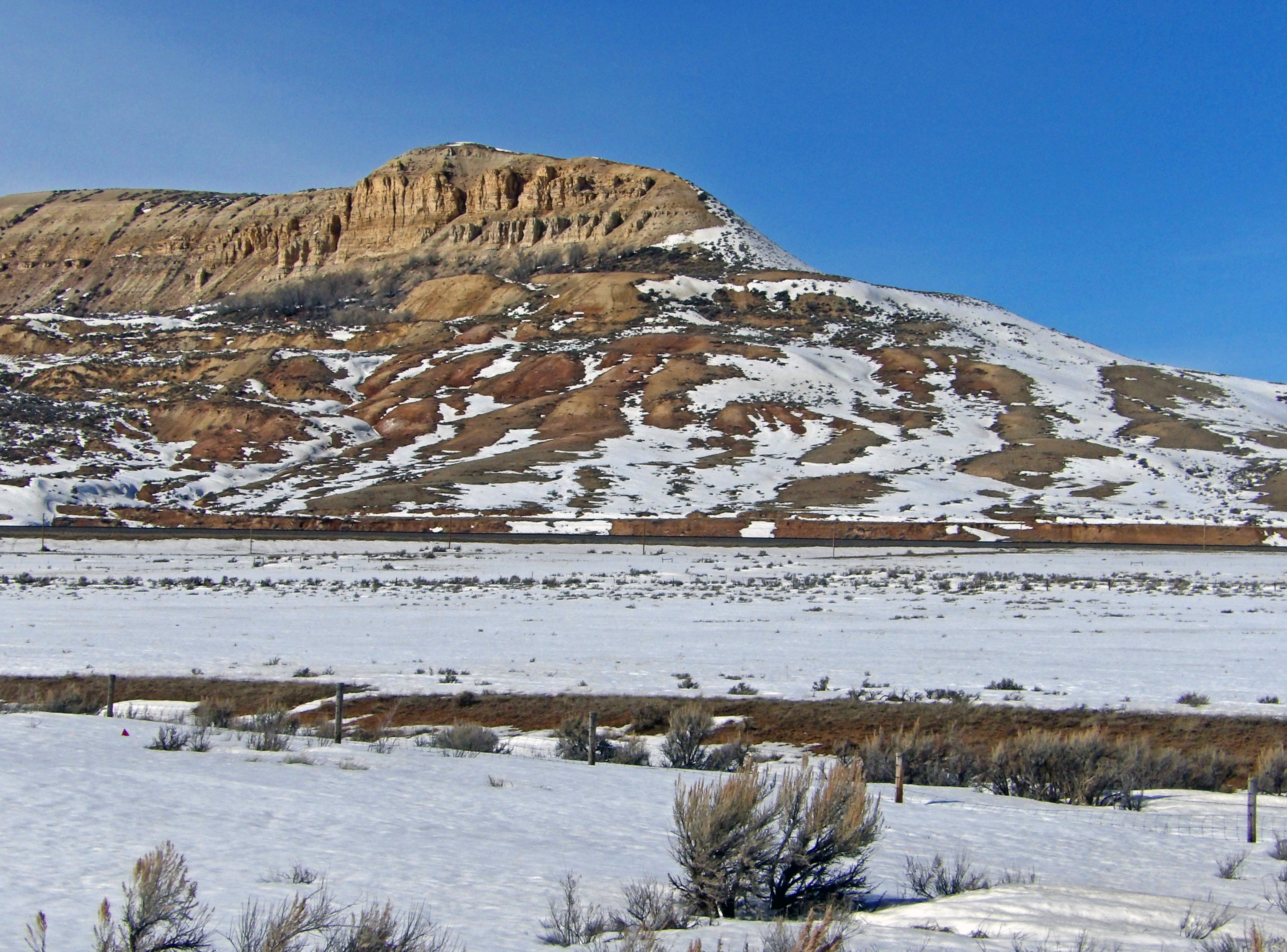
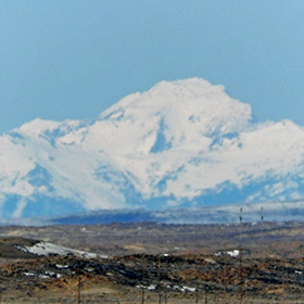
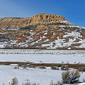
Fossil Butte in March |
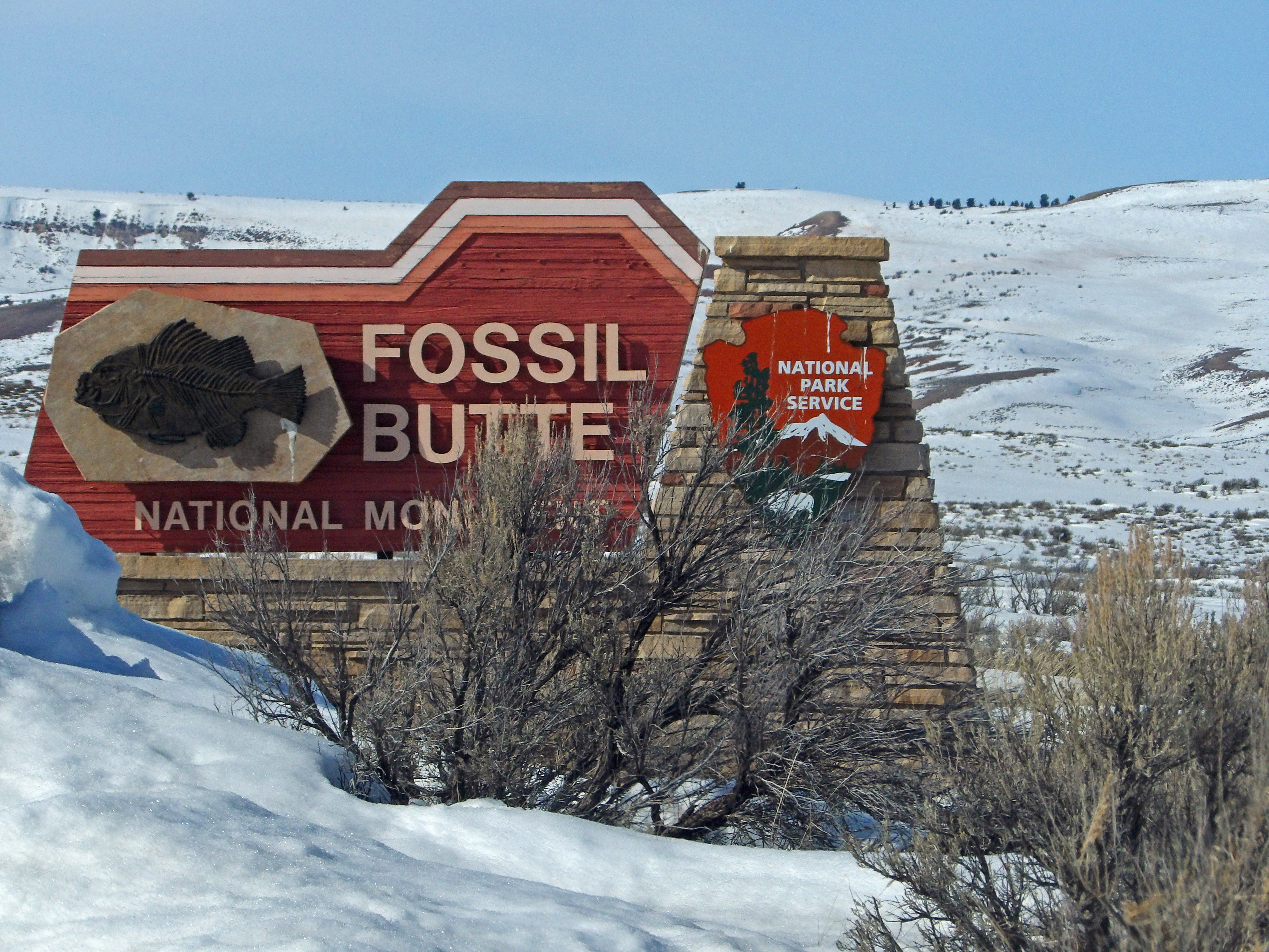
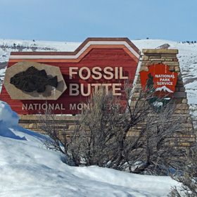
Entrance sign to Fossil Butte. |
|
 |
 |
 |
 |
|
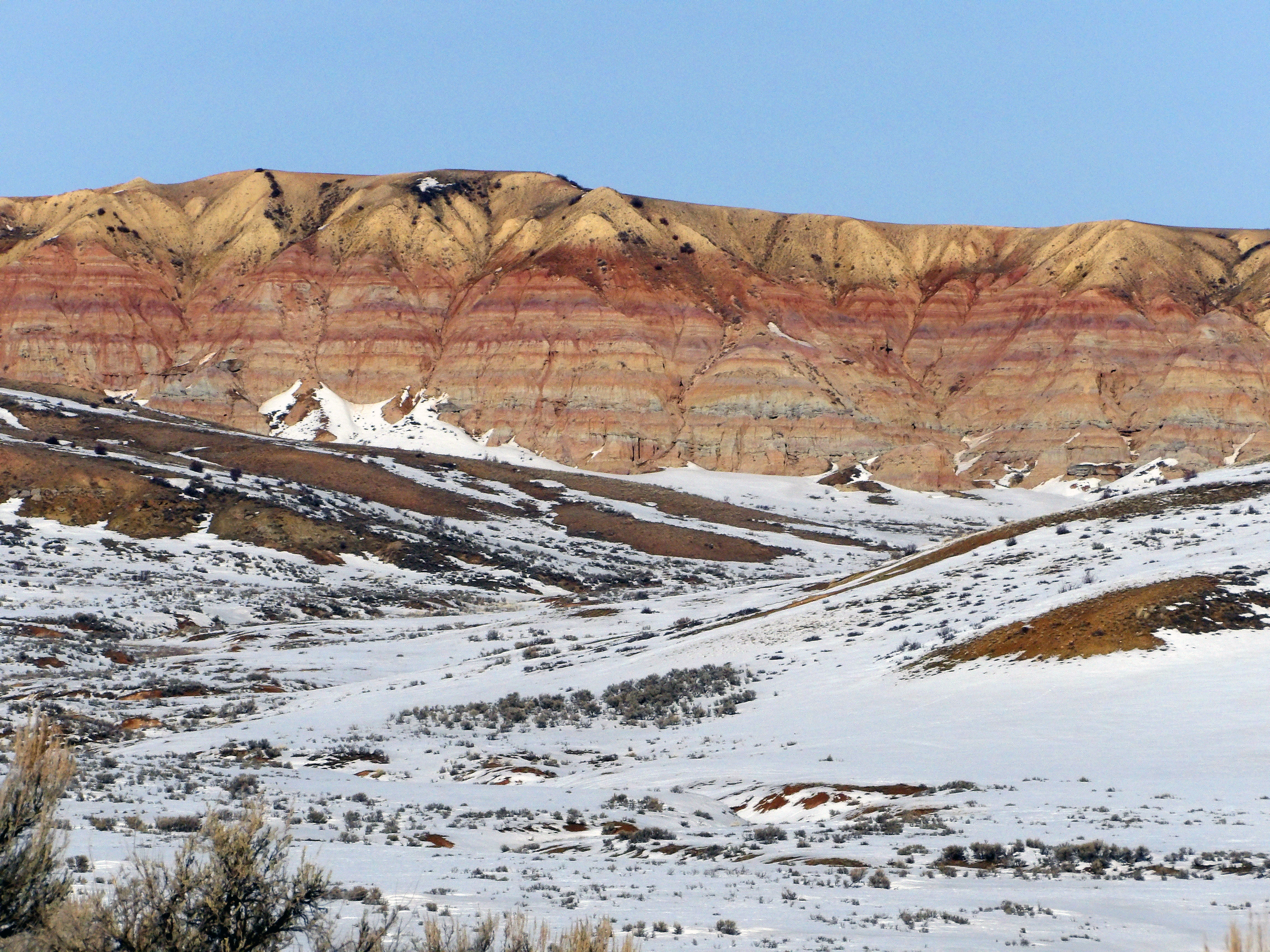
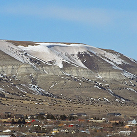
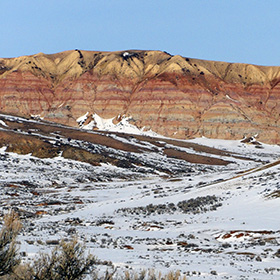
The colors of the bluff contrast with the snow and rock below. |
As the US-30 Highway departs Fossil Butte on the way west to Idaho, it enters a canyon carved by Rock Creek. |
Along the US-30 highway between Coalville, Wyoming and Lava Hot Springs, Idaho the landscape was mostly covered with snow. |
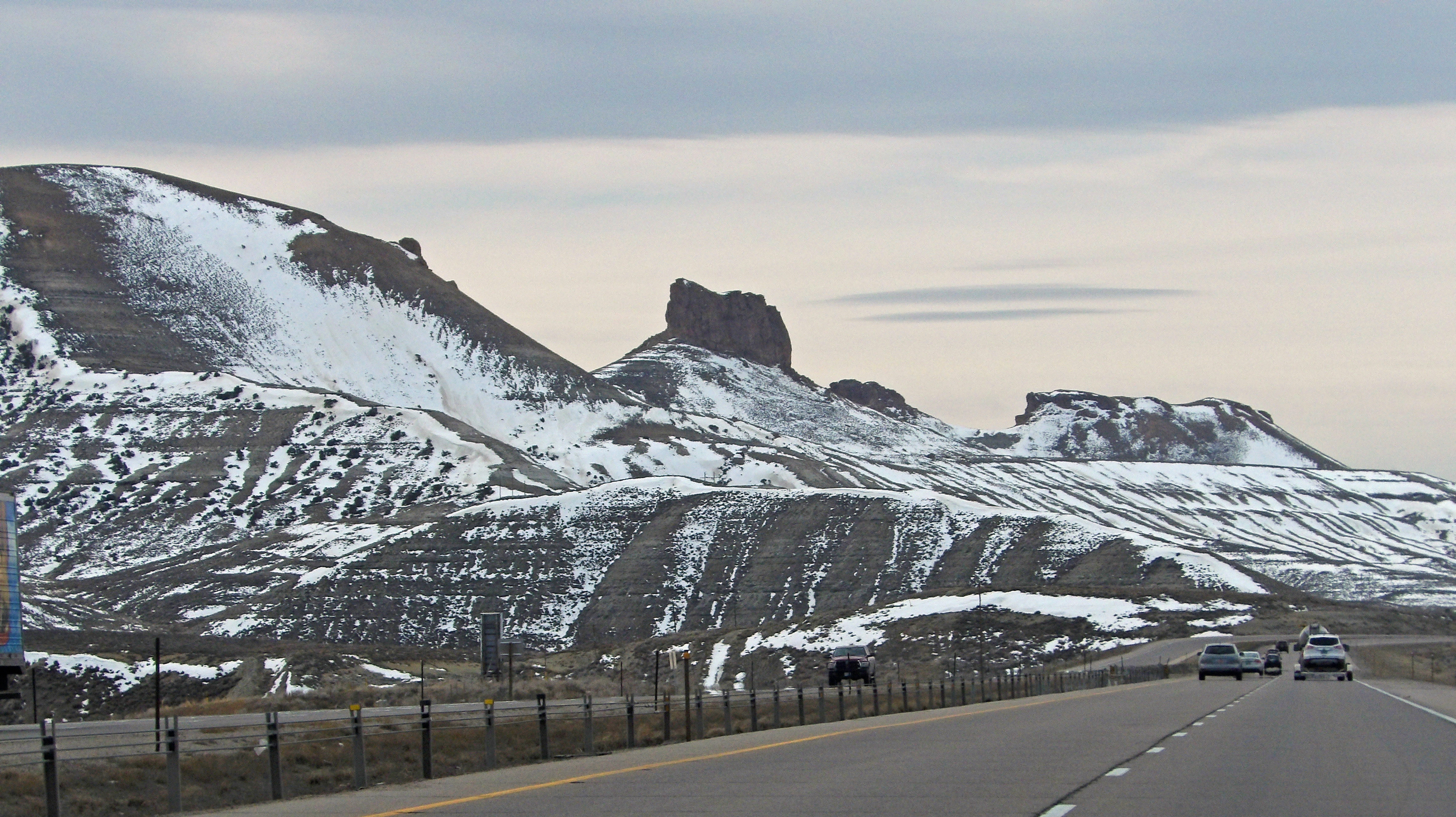
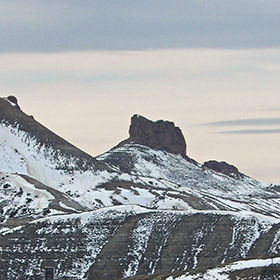
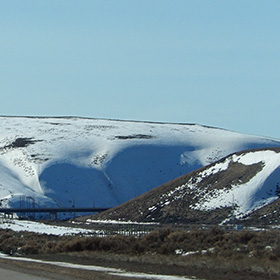
This rocky hill stands as a solid landmark near Coalville, Wyoming. |
|
 |
 |
 |
 |
|
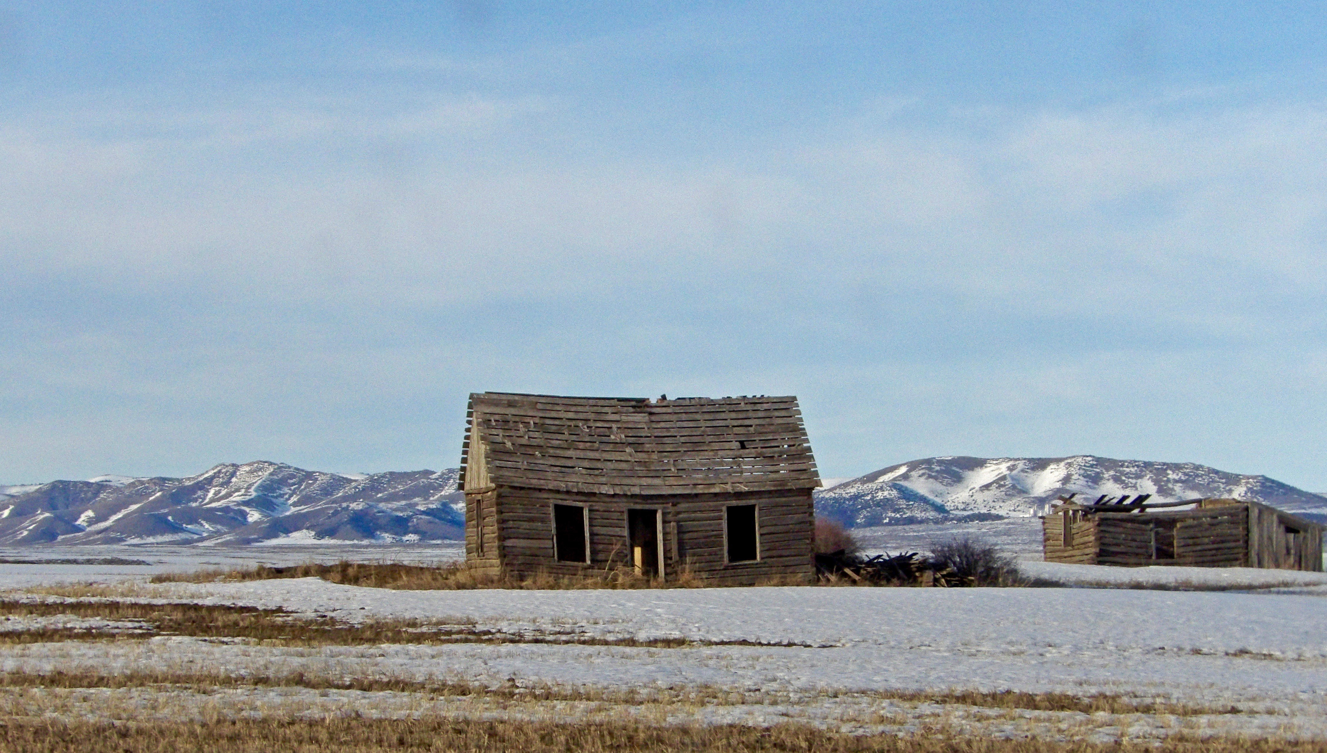
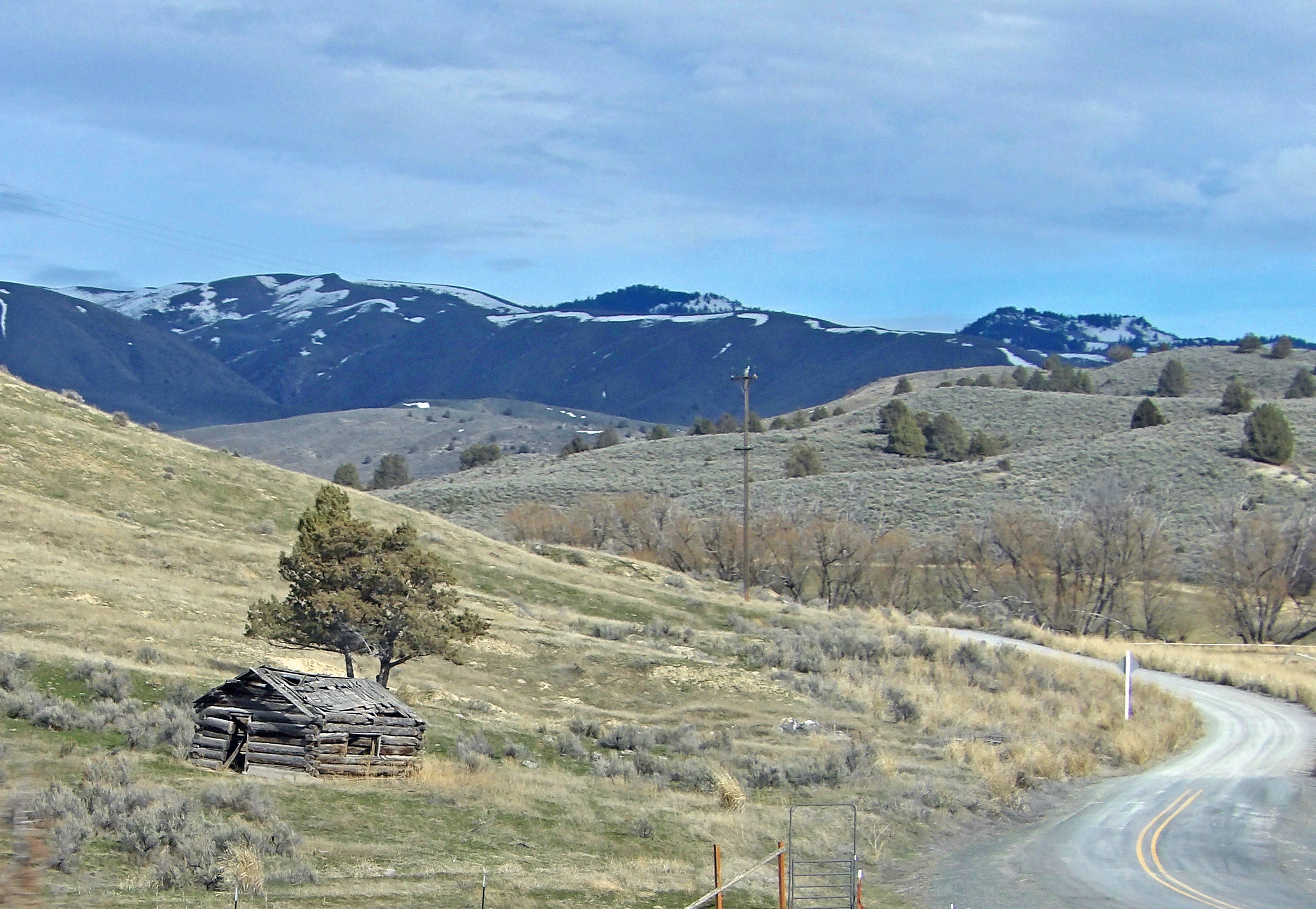
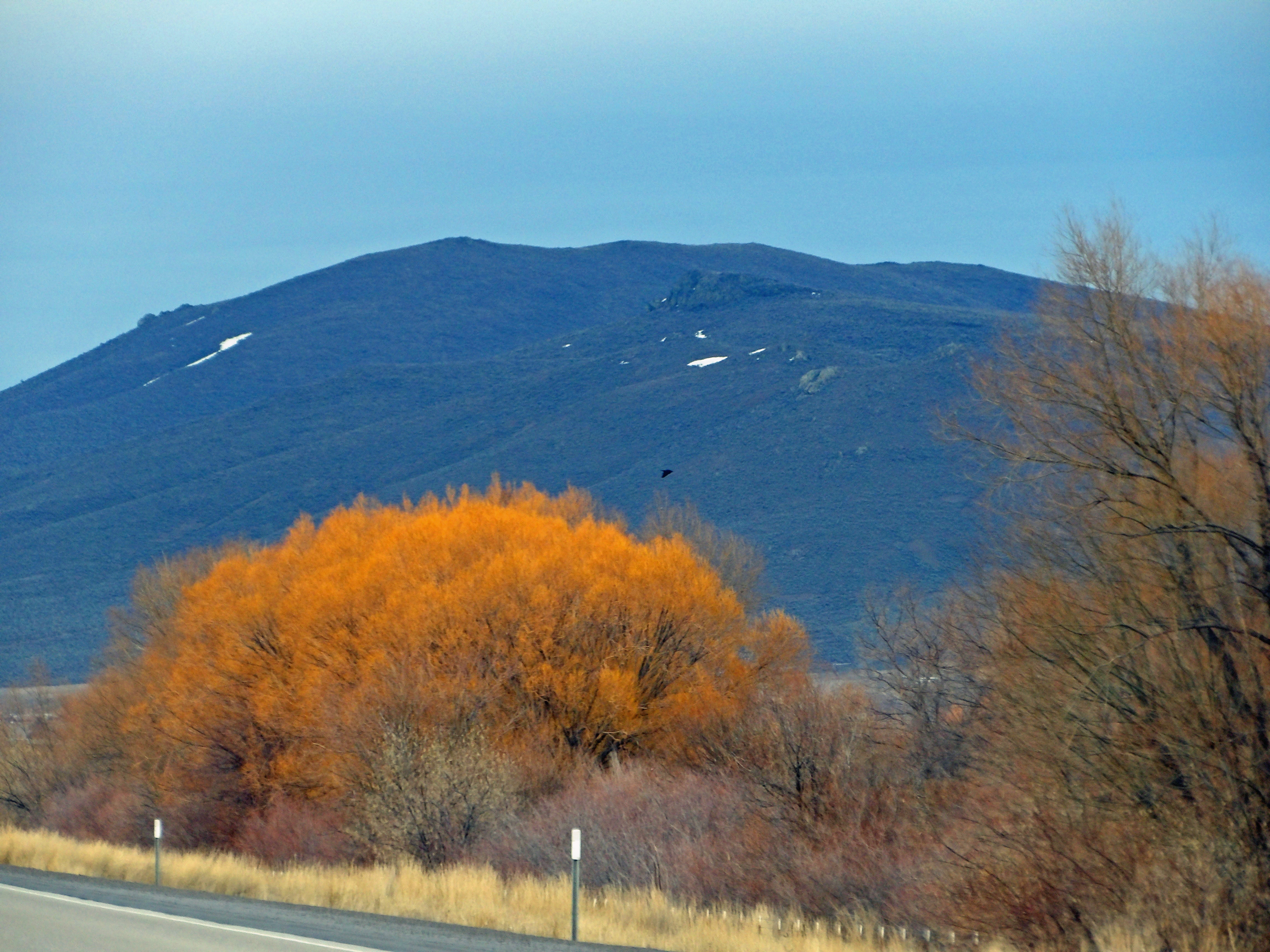
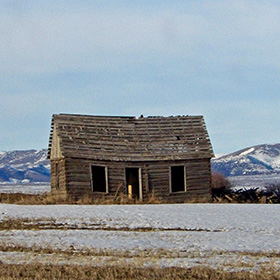
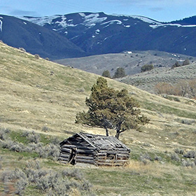
Abandoned home in western Wyoming. |
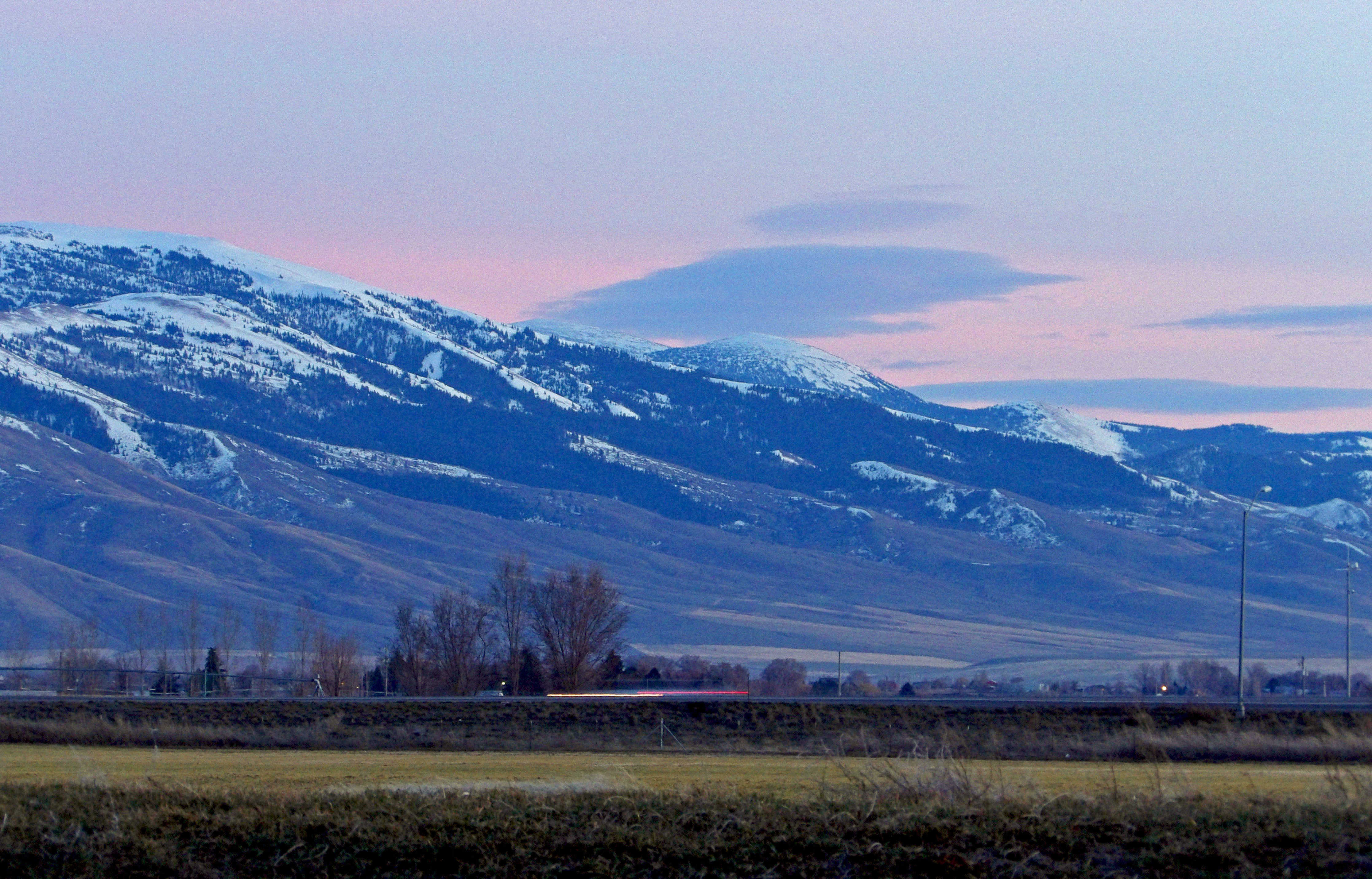
Mountains in Idaho |
Looking east toward the mountains with sunset color in the sky in Burley, Idaho |
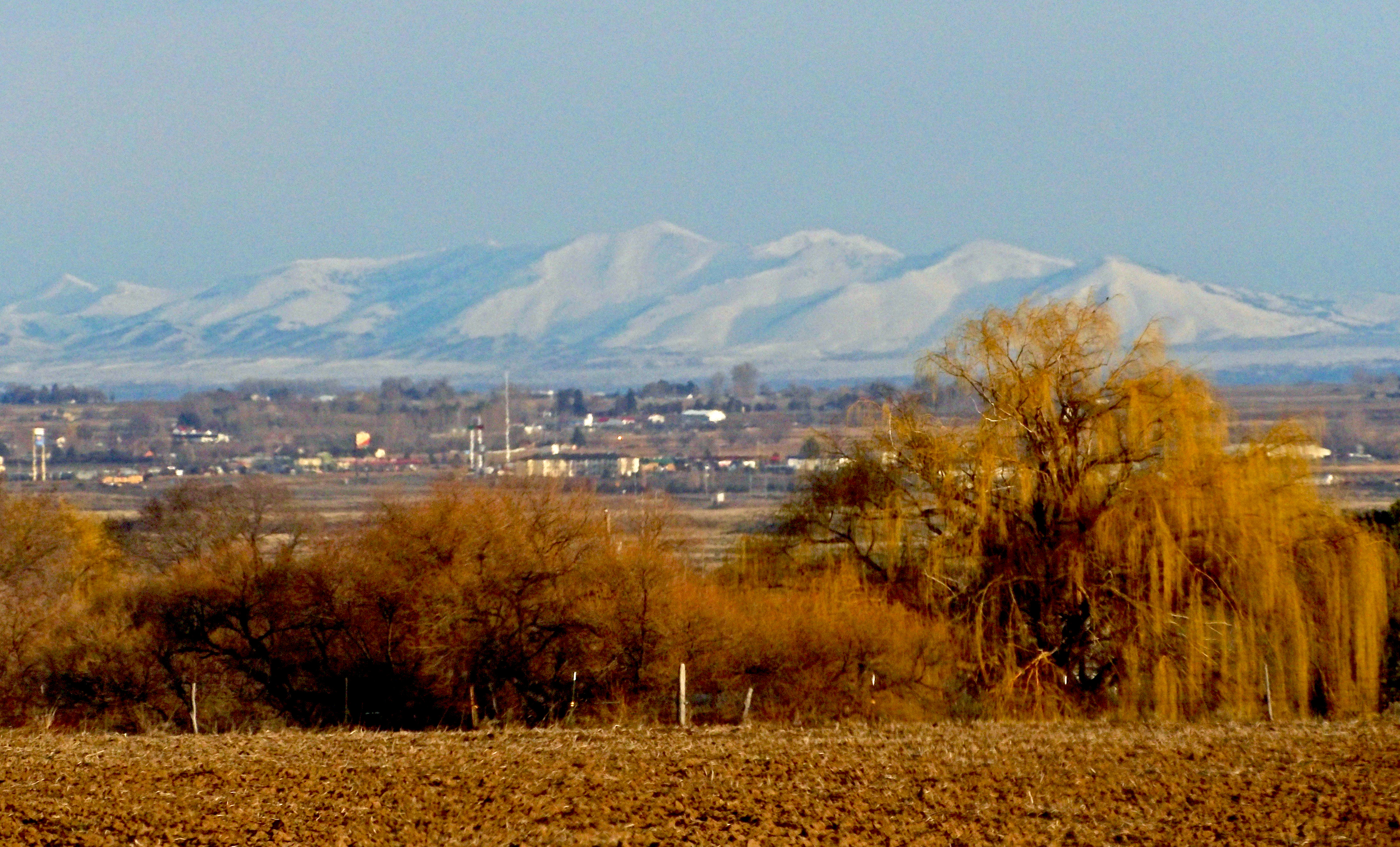
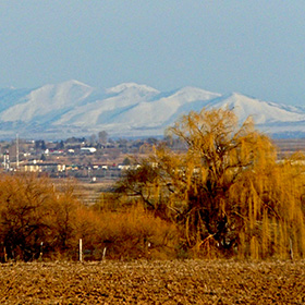
In the Treasure Valley near Twin Falls one can look to the north on clear days and see the Sawtooth Mountains. |
|
 |
 |
 |
 |
|
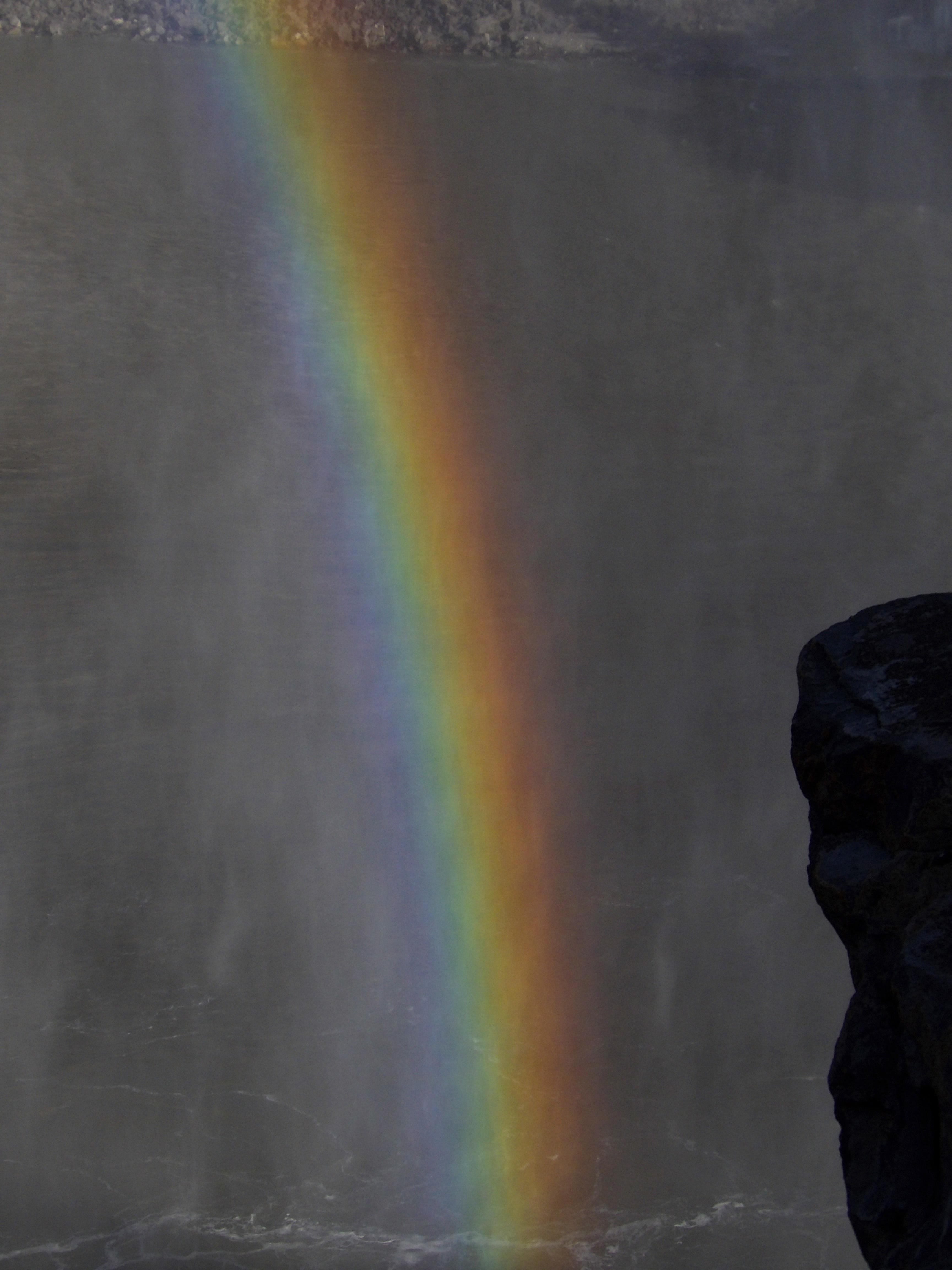
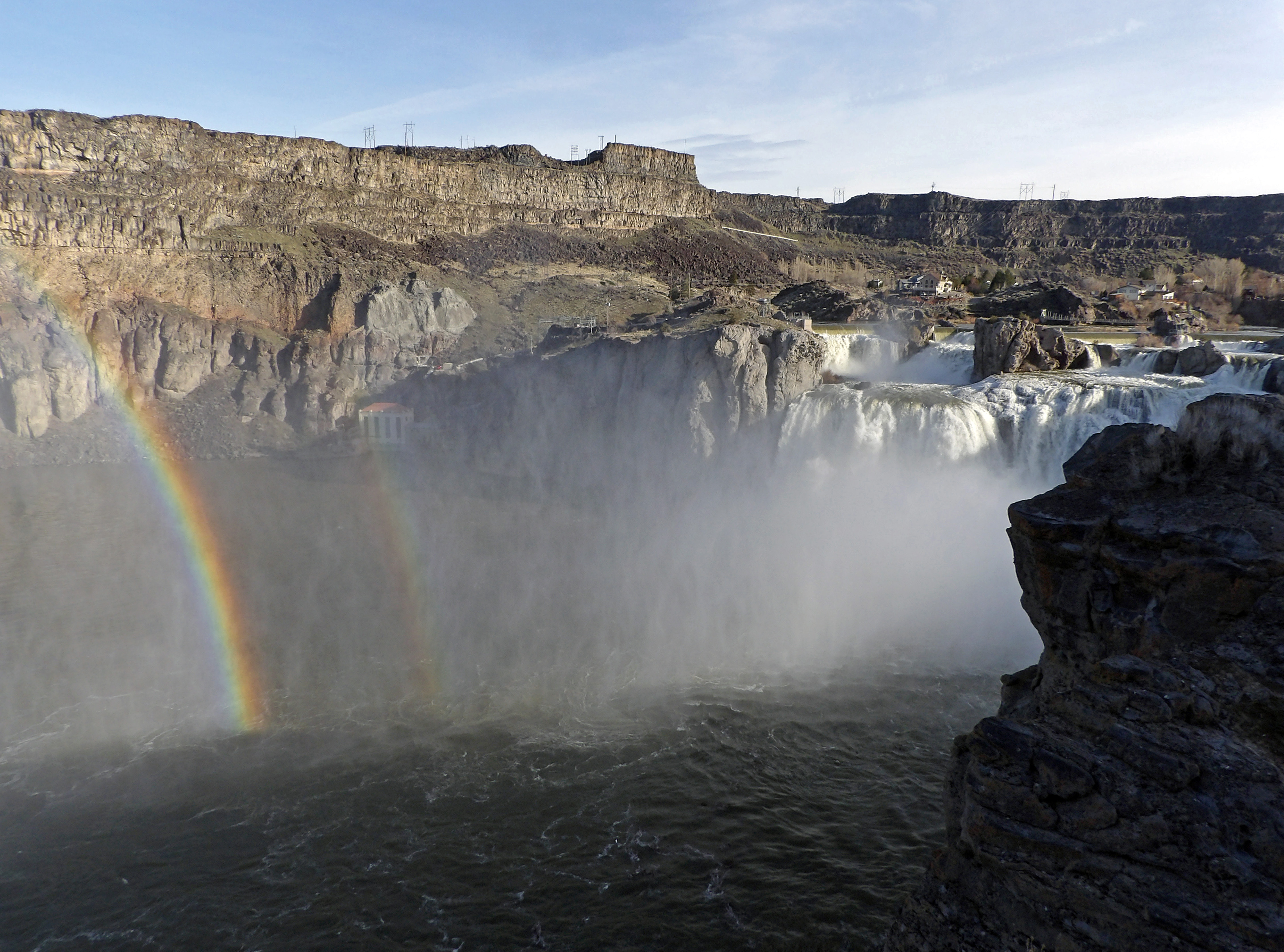
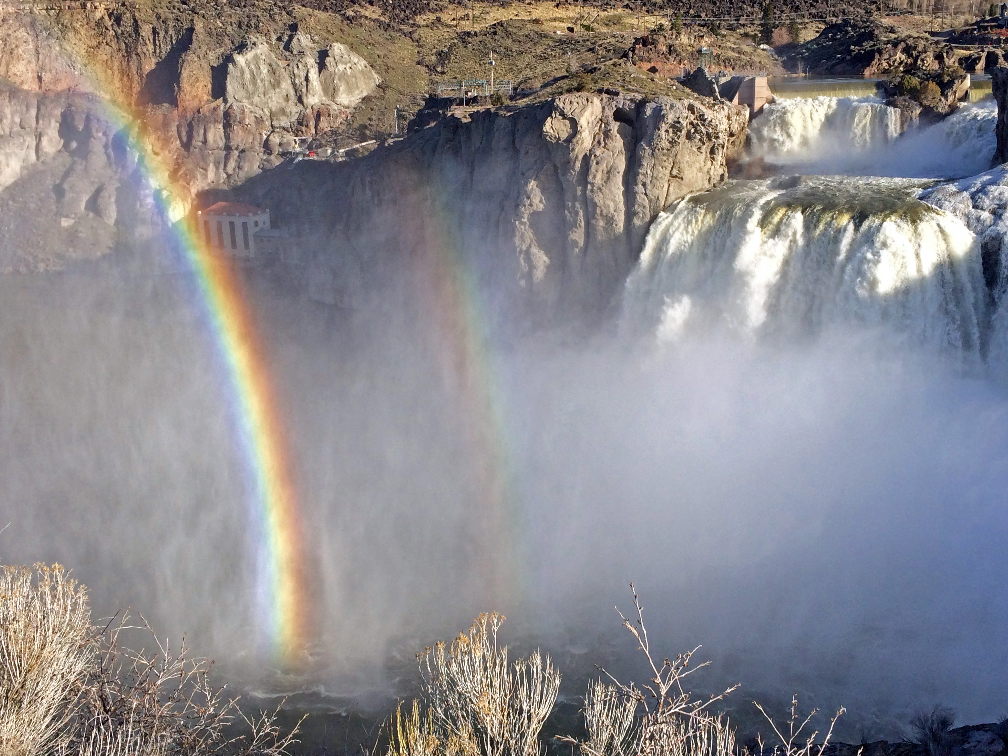
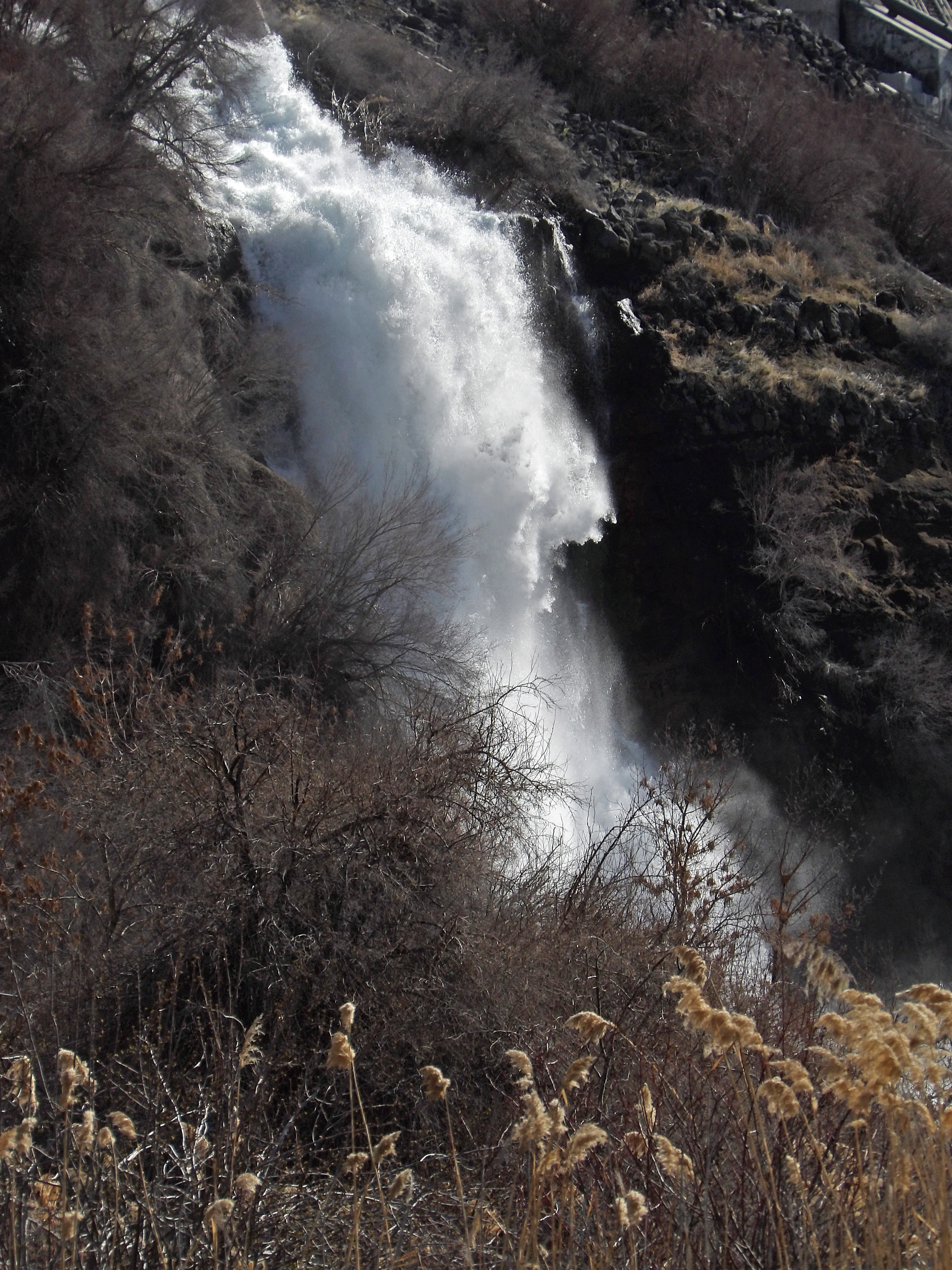
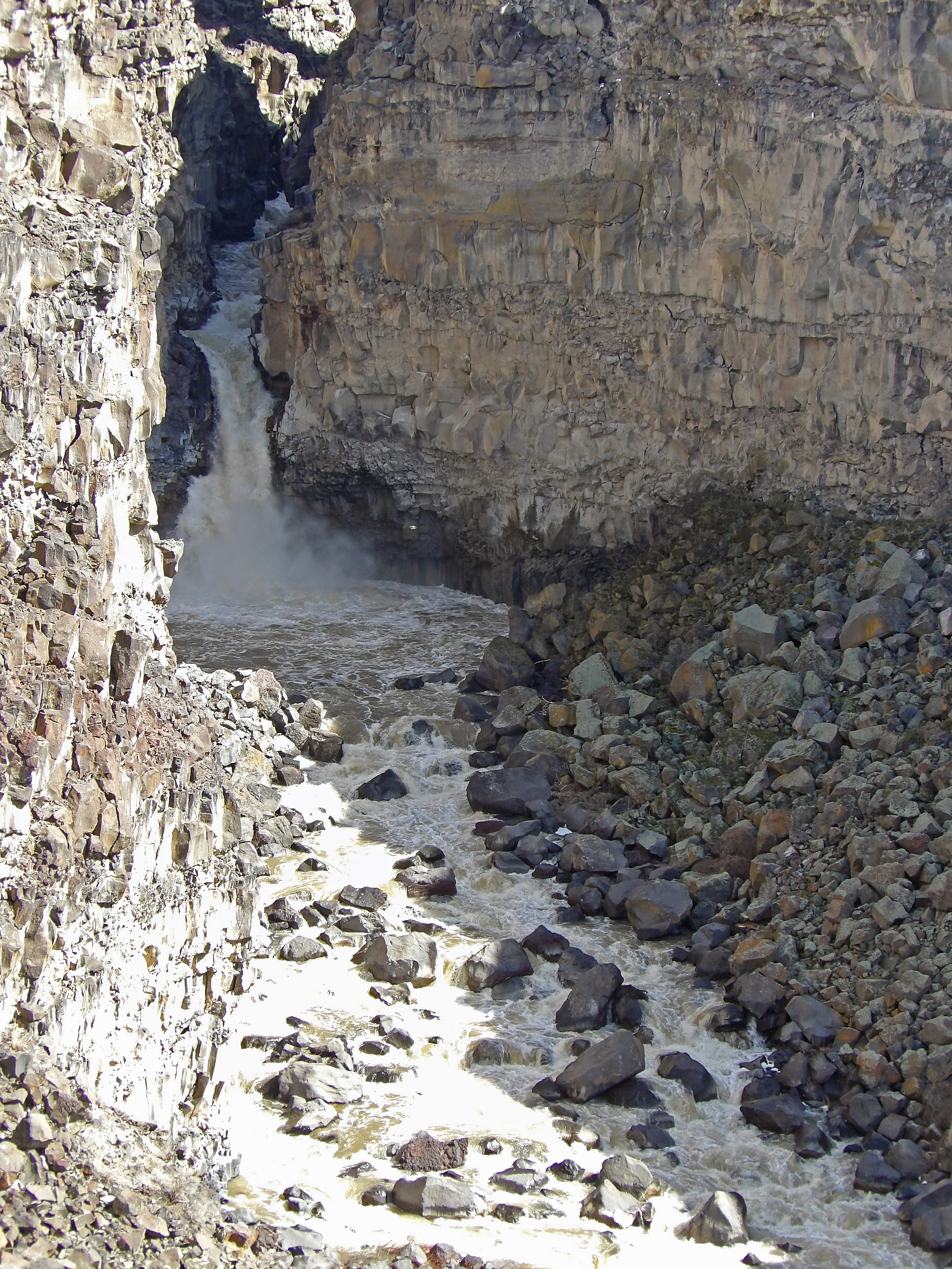
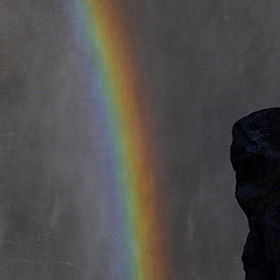
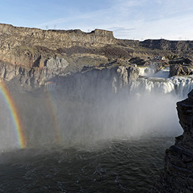
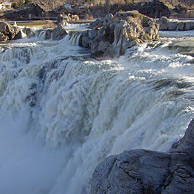
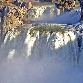
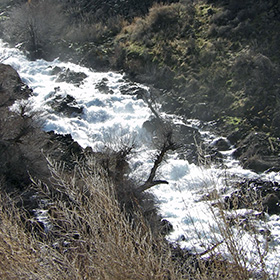
Rainbow in the spray from Shoshone Falls near Twin Falls, Idaho |
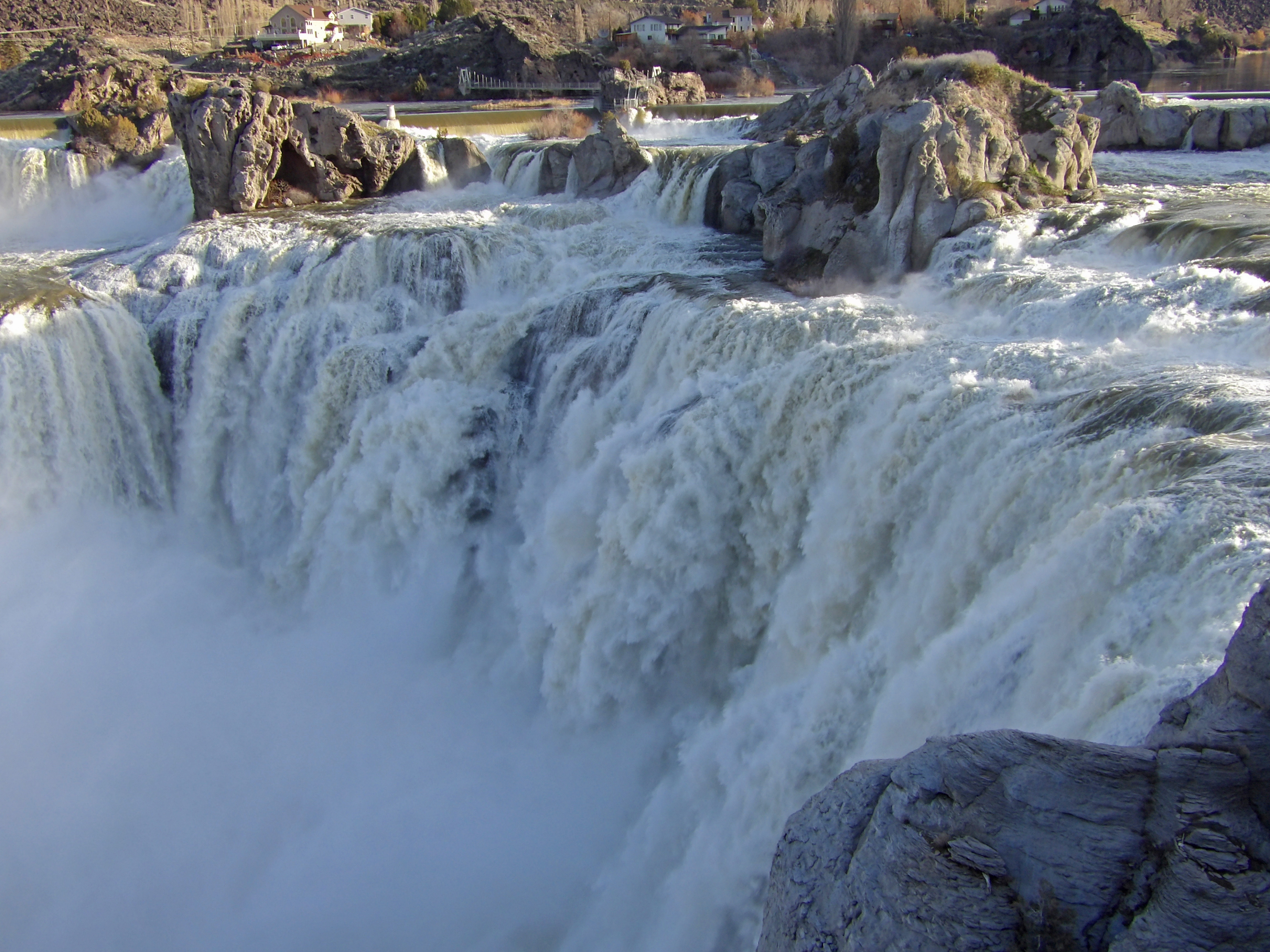
I have been to Shoshone Falls before, but never have I seen so much water flowing over the falls. |
The observation areas seem quite close to the roaring falls. |
I visited Shoshone Falls fairly early in the morning, and the sun was just rising. |
|
 |
 |
 |
 |
|
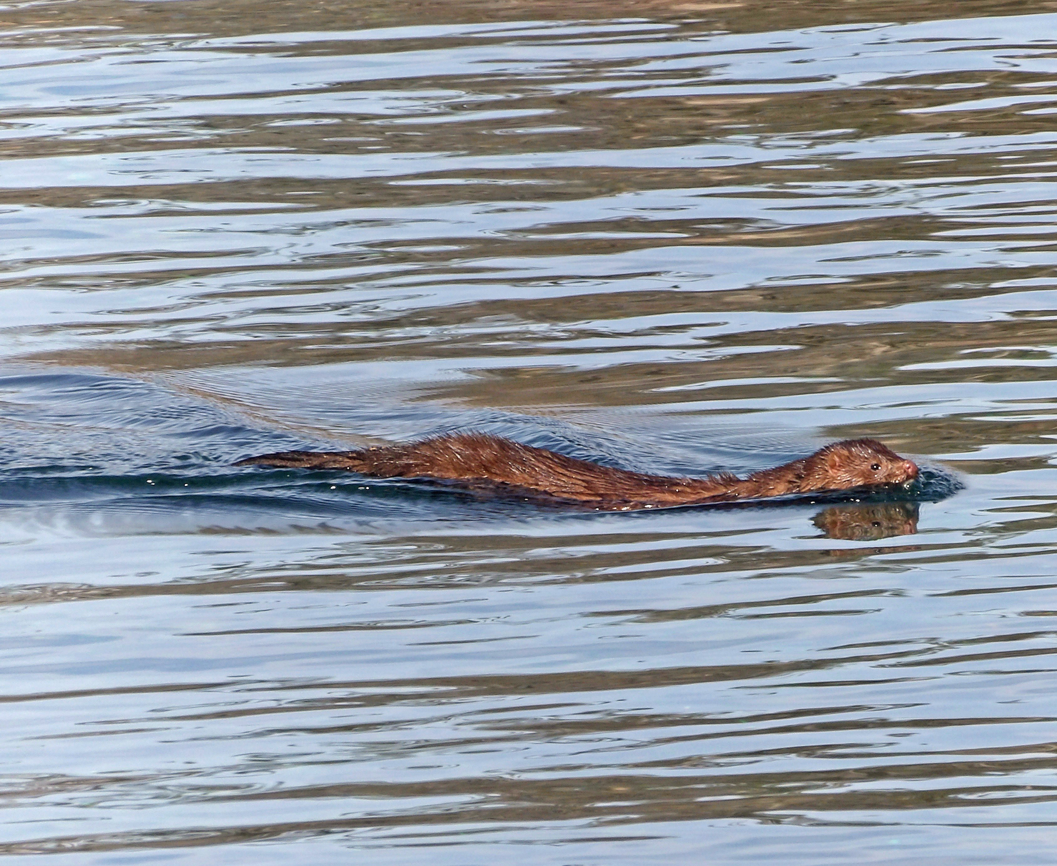
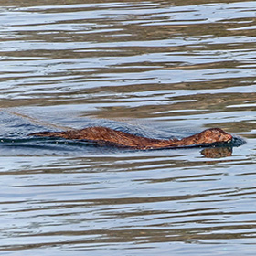
I thought this was an otter swimming in the Snake River, but perhaps it was mink or some other relative of an otter. |
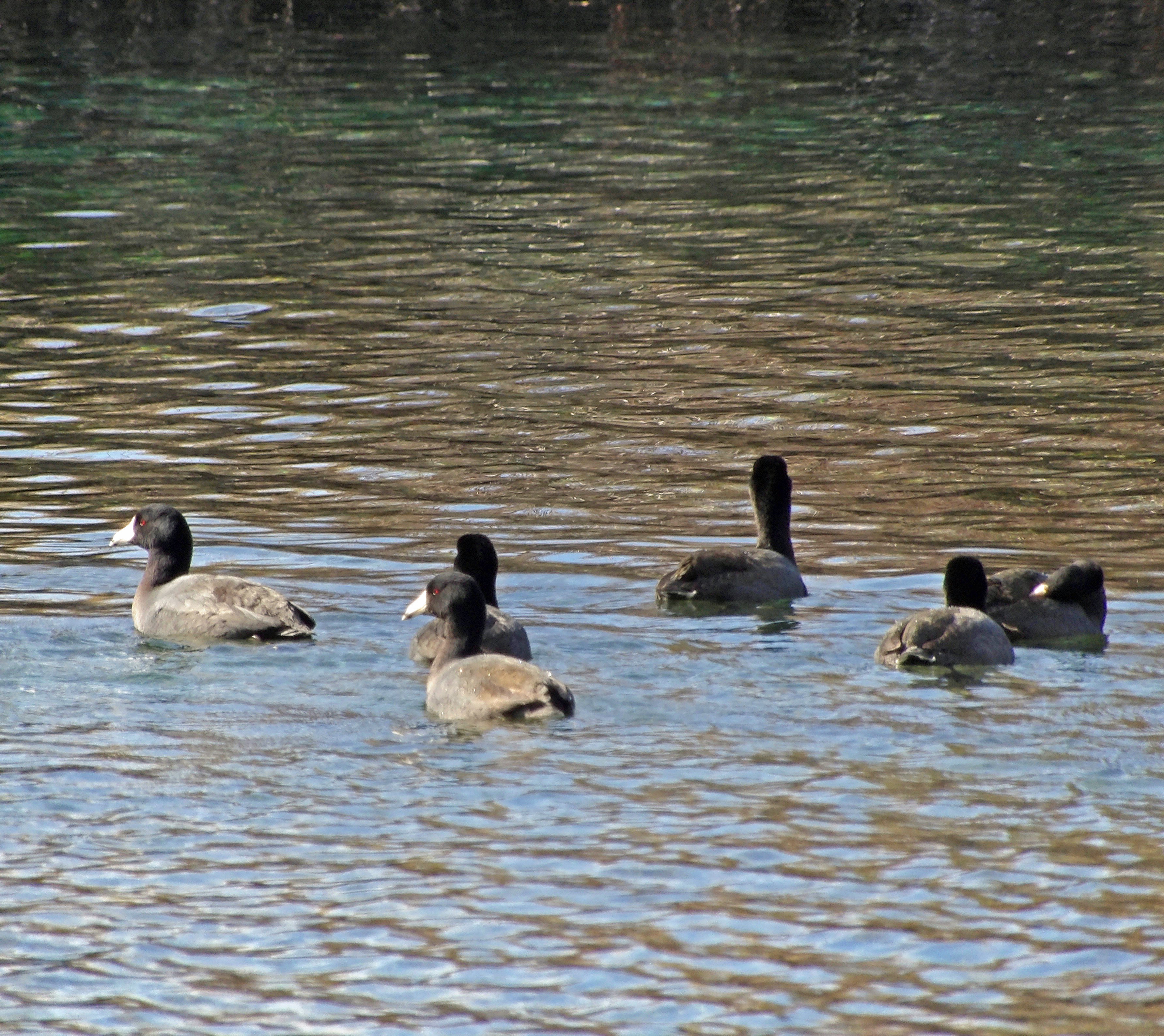
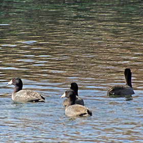
Coots were swimming in the Snake River, but they were very shy. |
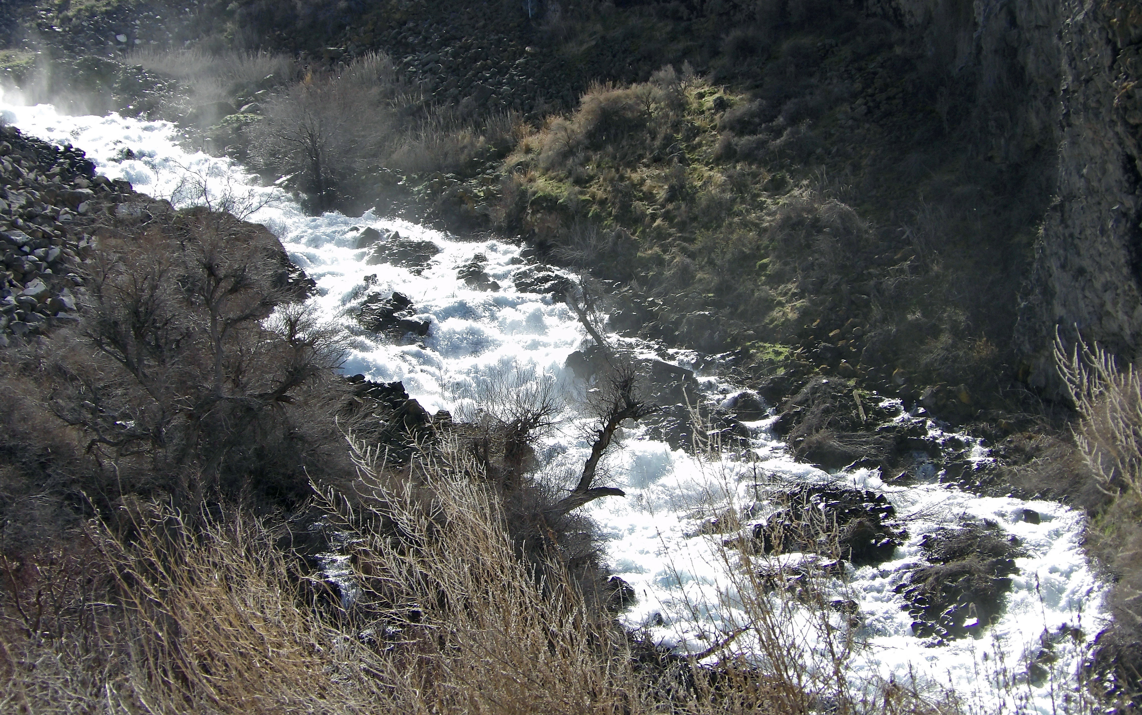
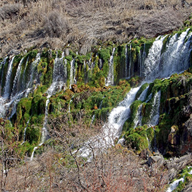
The springs at Thousand Springs State park were flowing heavy in March. |
I climbed up on the scree near the base of these waterfalls. |
|
 |
 |
 |
 |
|
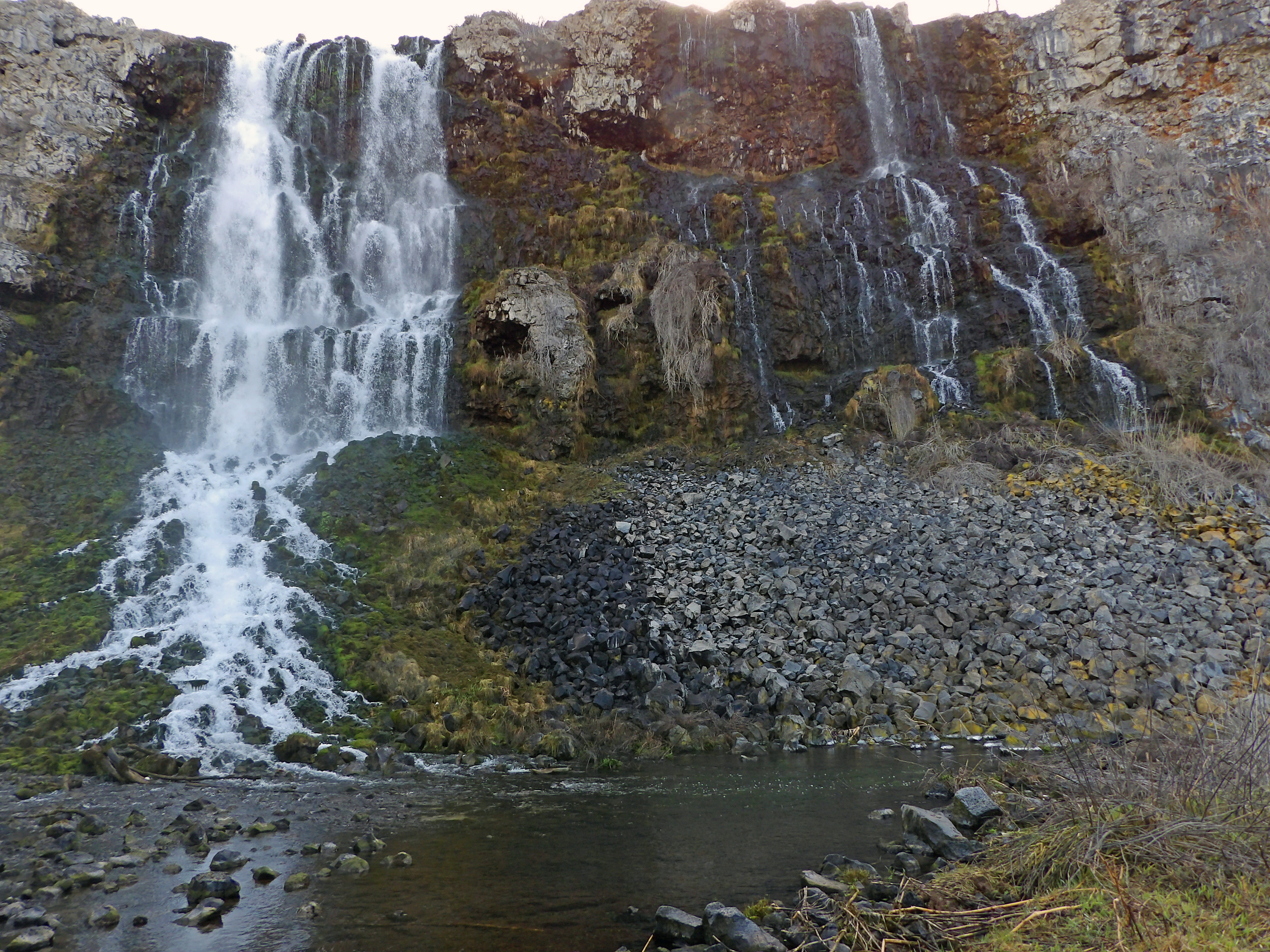
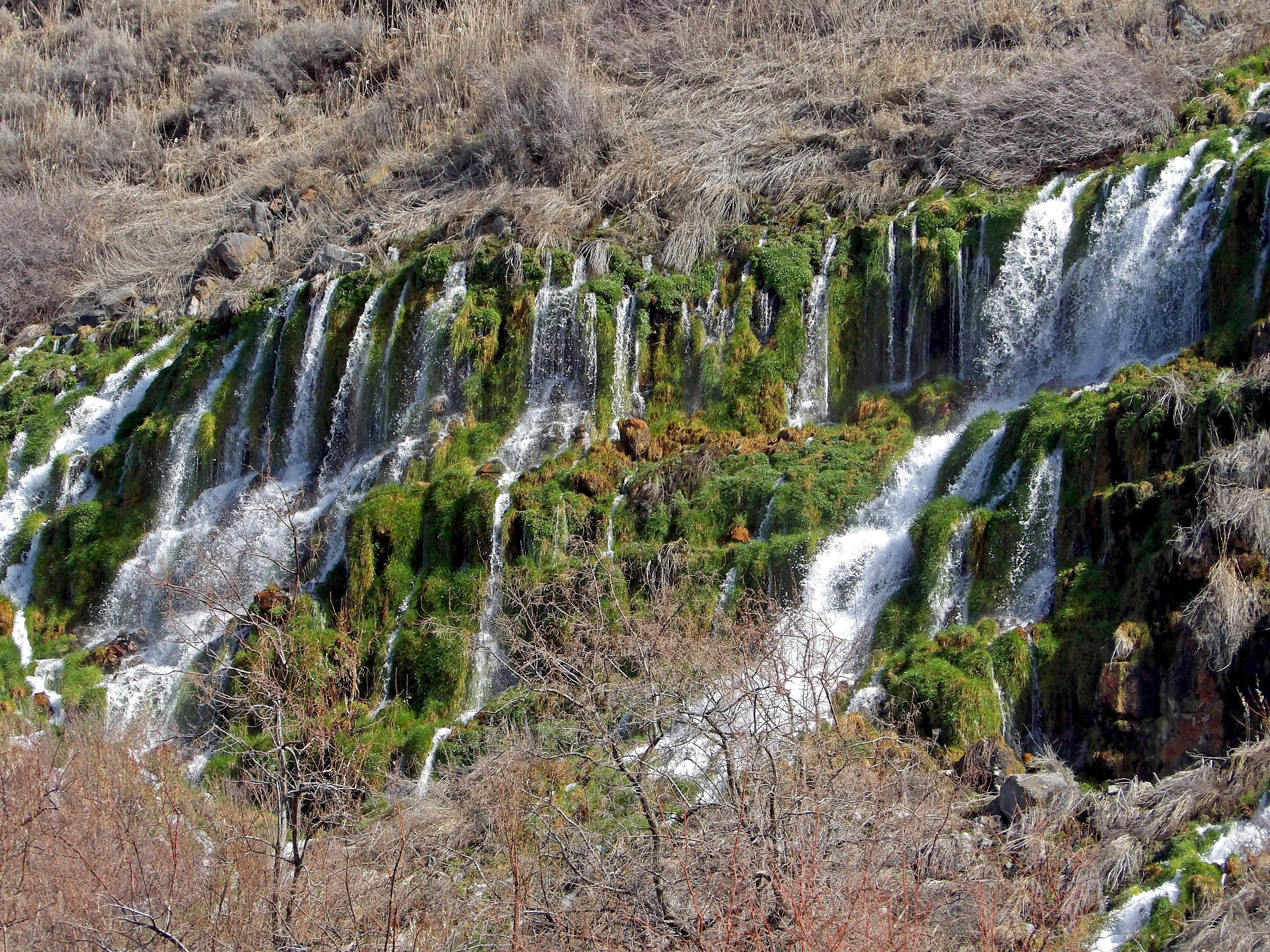
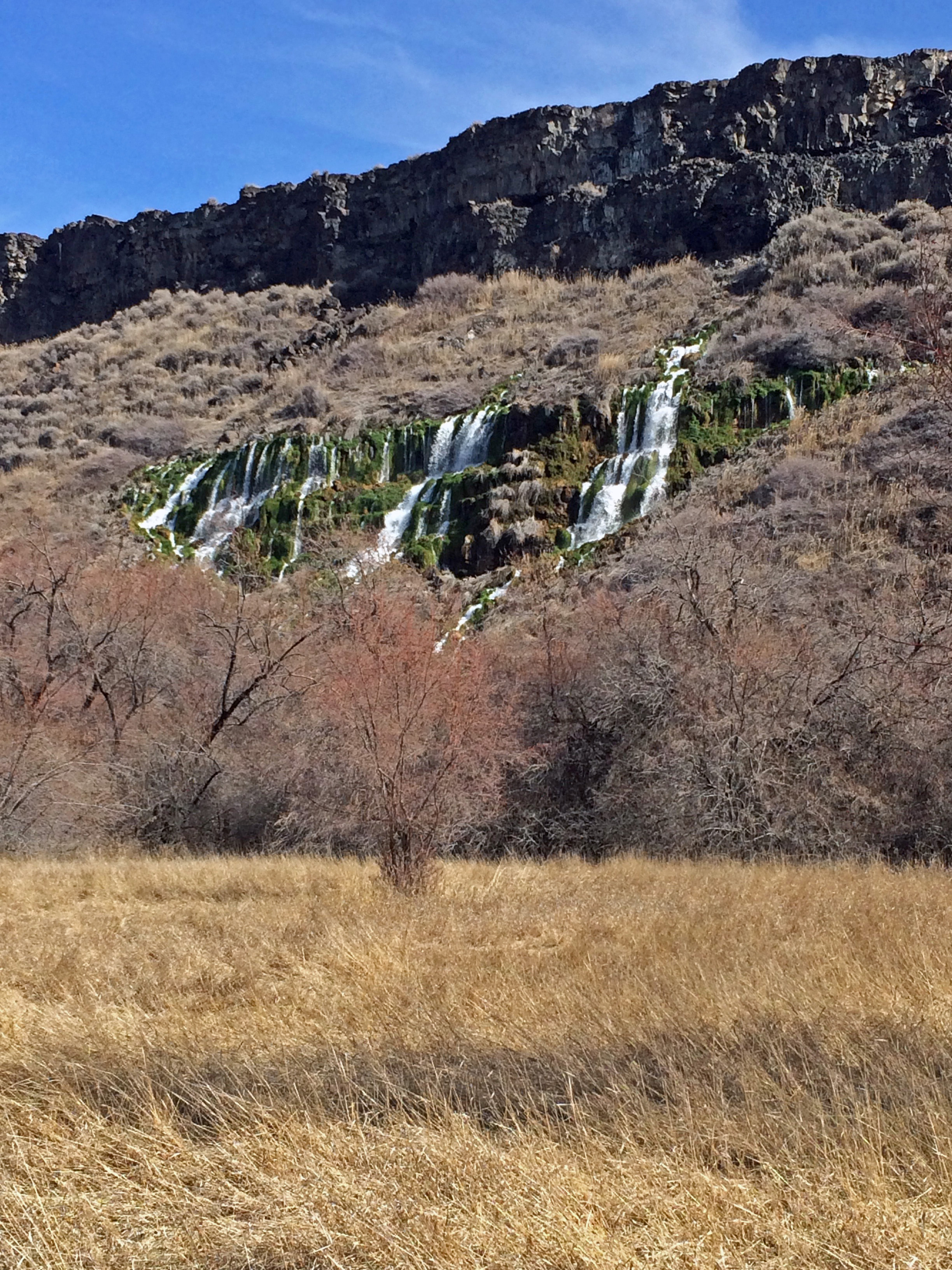
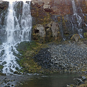
Ritter Island State Park is part of the Thousand Springs park area. An old dairy is open for visiting, and there are good views of waterfalls flowing from springs on the hillside near the island. |
A close look at the dramatic falls from springs emerging from the cliff. |
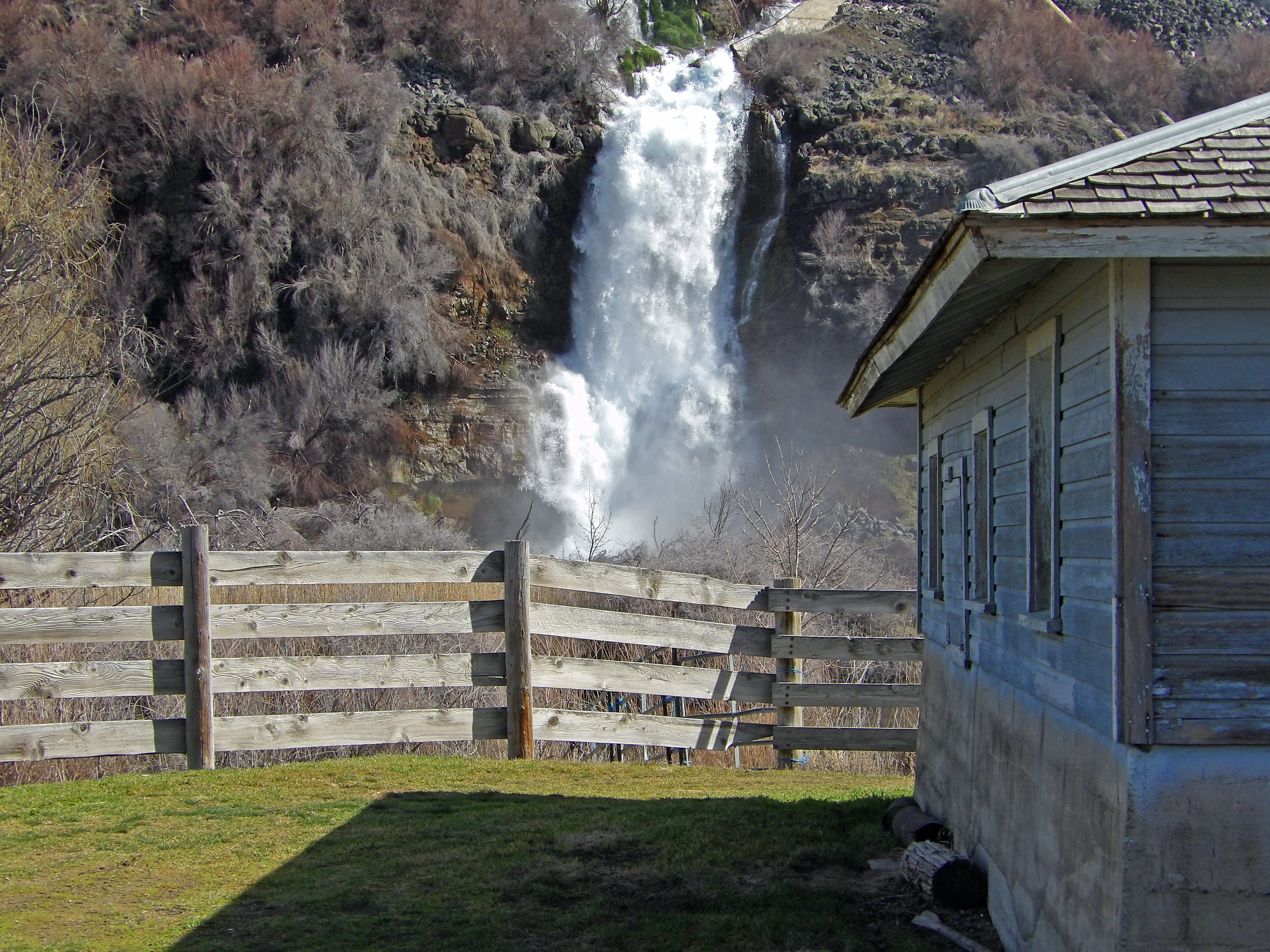
These springs now bear the name of Minnie Miller, the woman who established a modern dairy on Ritter island over 100 years ago. |
A trail on Ritter Island brings visitors closer to the Minnie Miller springs. I wonder what name in the local language designated these springs before Minnie Miller came along. |
|
 |
 |
 |
 |
|
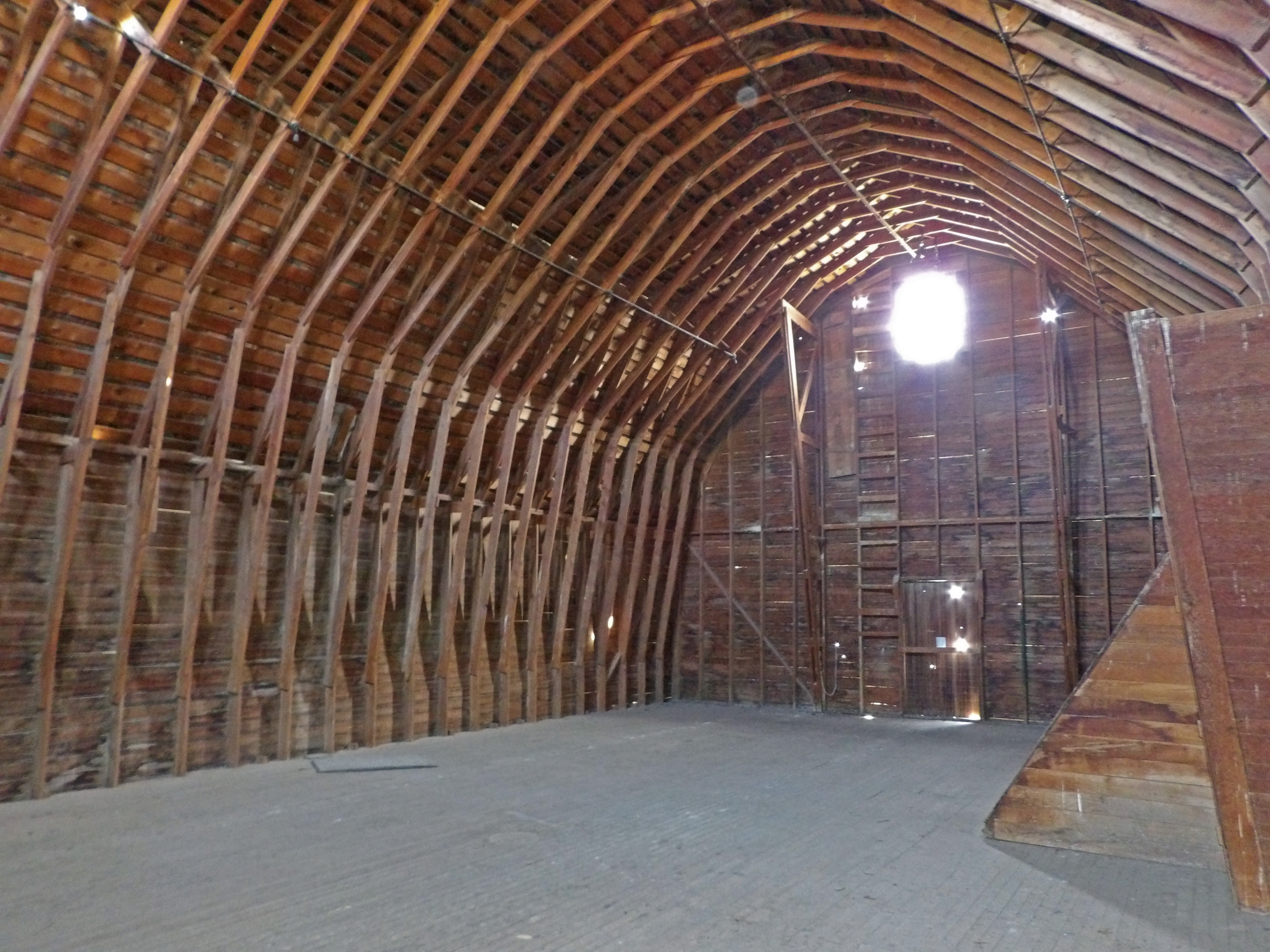
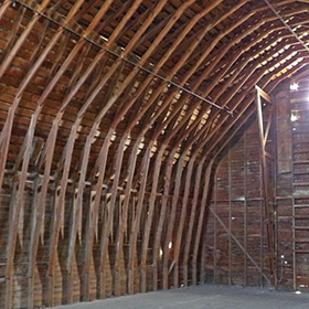
The hay loft in the dairy barn on Ritter Island. |
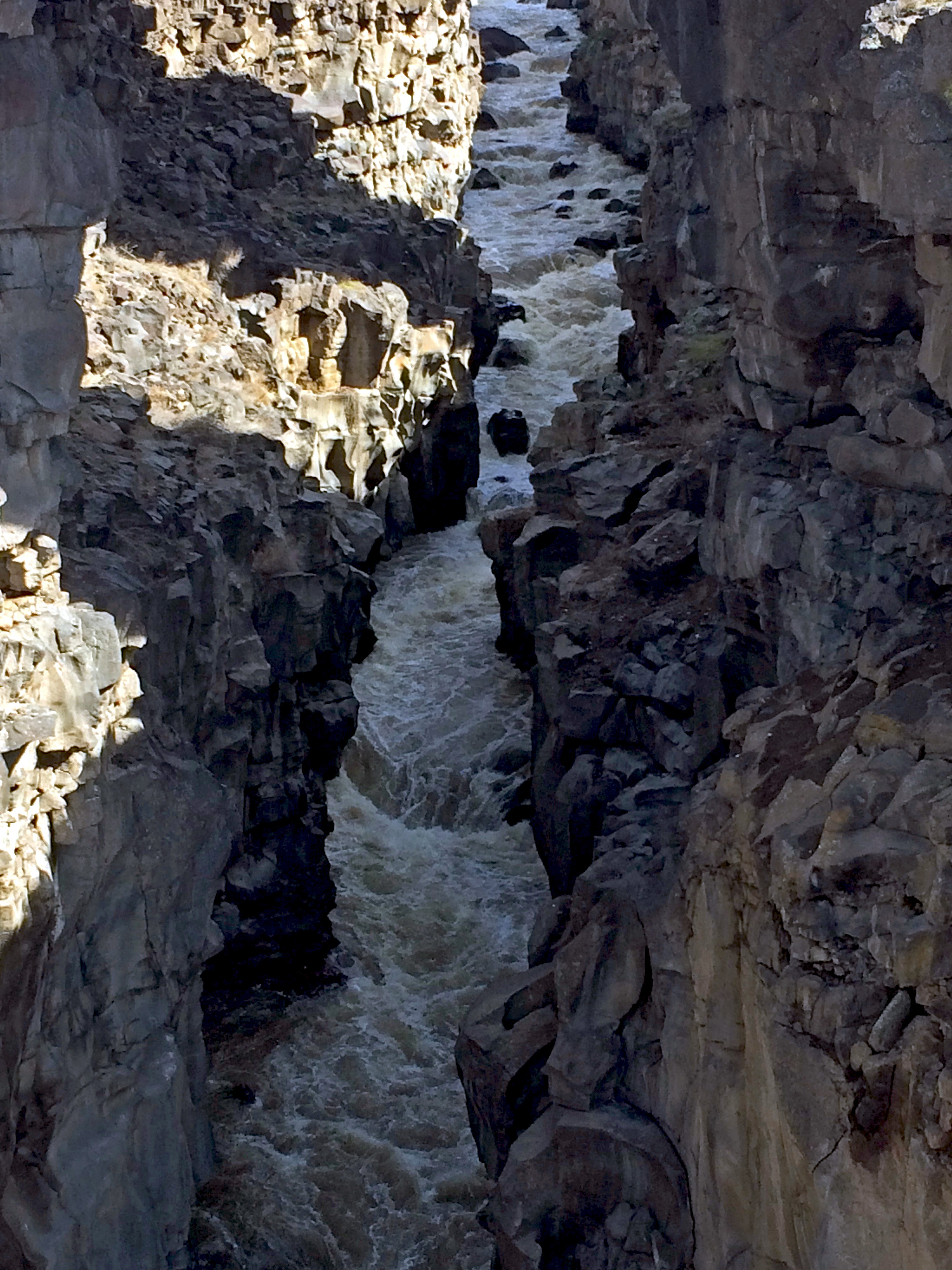
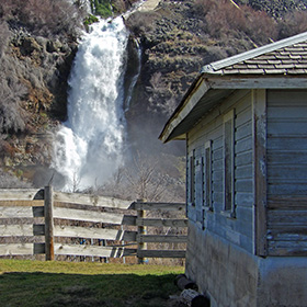
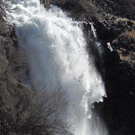
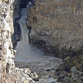
The Malad River forms a punchbowl under this waterfall. The waterfall is less than 100 meters from I-84, and the noise of freeway traffic is almost as loud as the roaring of the falls. |
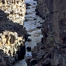
The Malad River carved this gorge out of basalt stone. |
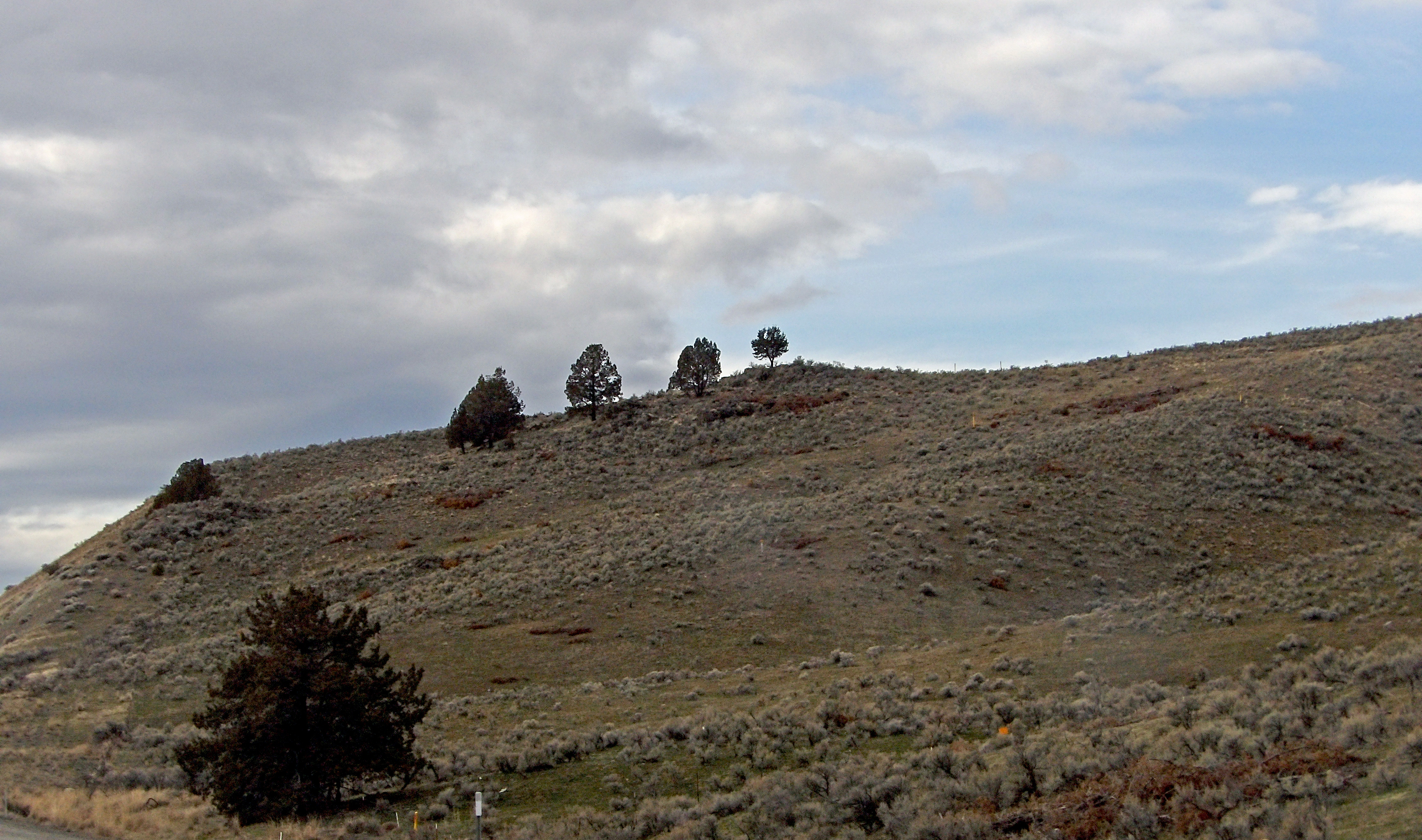
The alkaline hills of eastern Oregon near the Snake River do not have soil that nurtures many trees, but a few intrepid individuals manage to grow here on the slopes, attracting the eyes of travelers passing below on I-84. |
|
 |
 |
 |
 |
|
Another abandoned old cabin. This one is in eastern Oregon. |
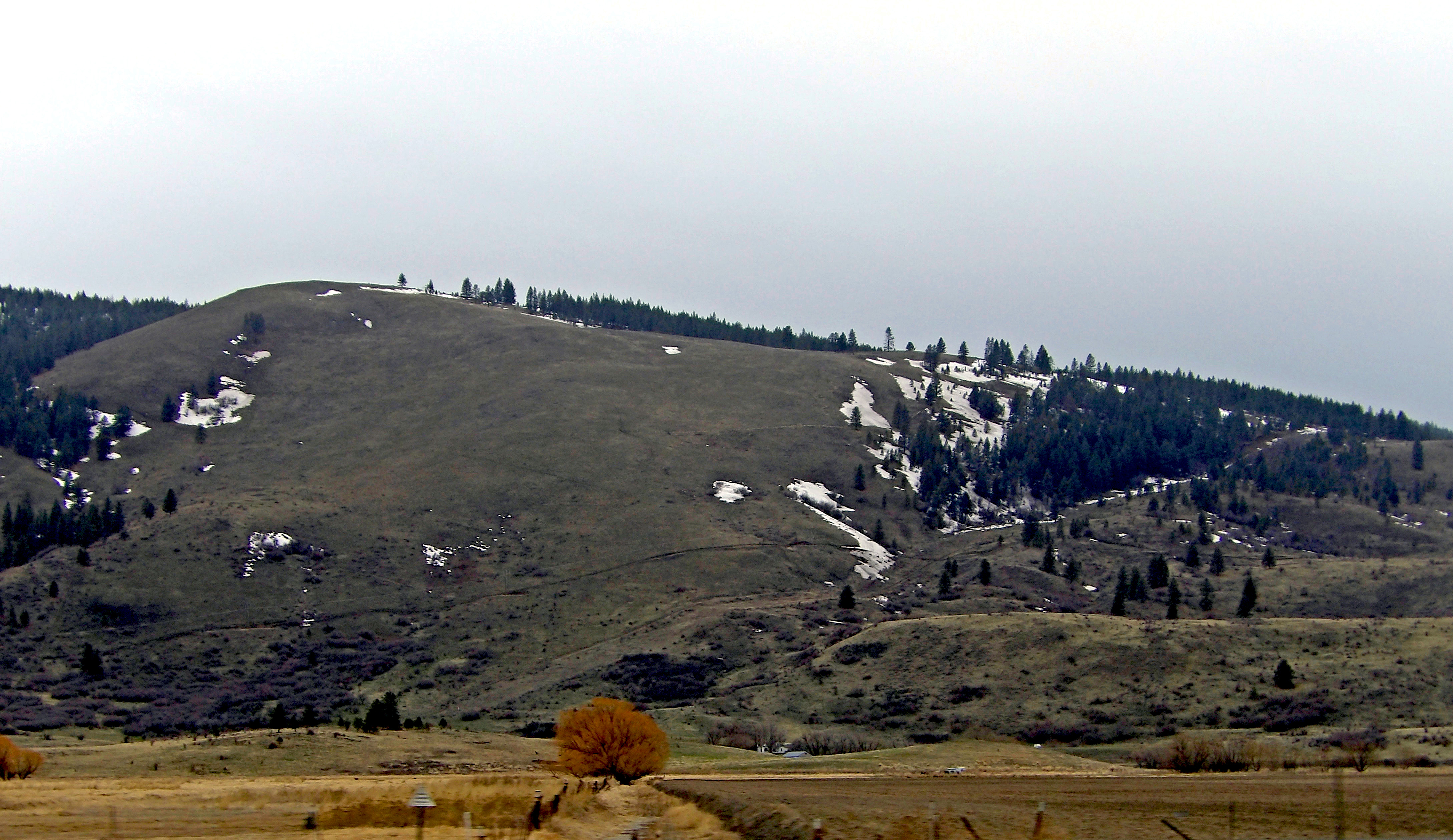
Eastern Oregon, like much of Wyoming and Idaho, is quite empty. |
No need to go all the way to Mongolia, as you can see the same sort of landscapes in eastern Oregon. |
Across the Snake River, the mountains of western Idaho look the same as the mountains of eastern Oregon. |
|
 |
 |
 |
 |
|
Near Baker City, Oregon |
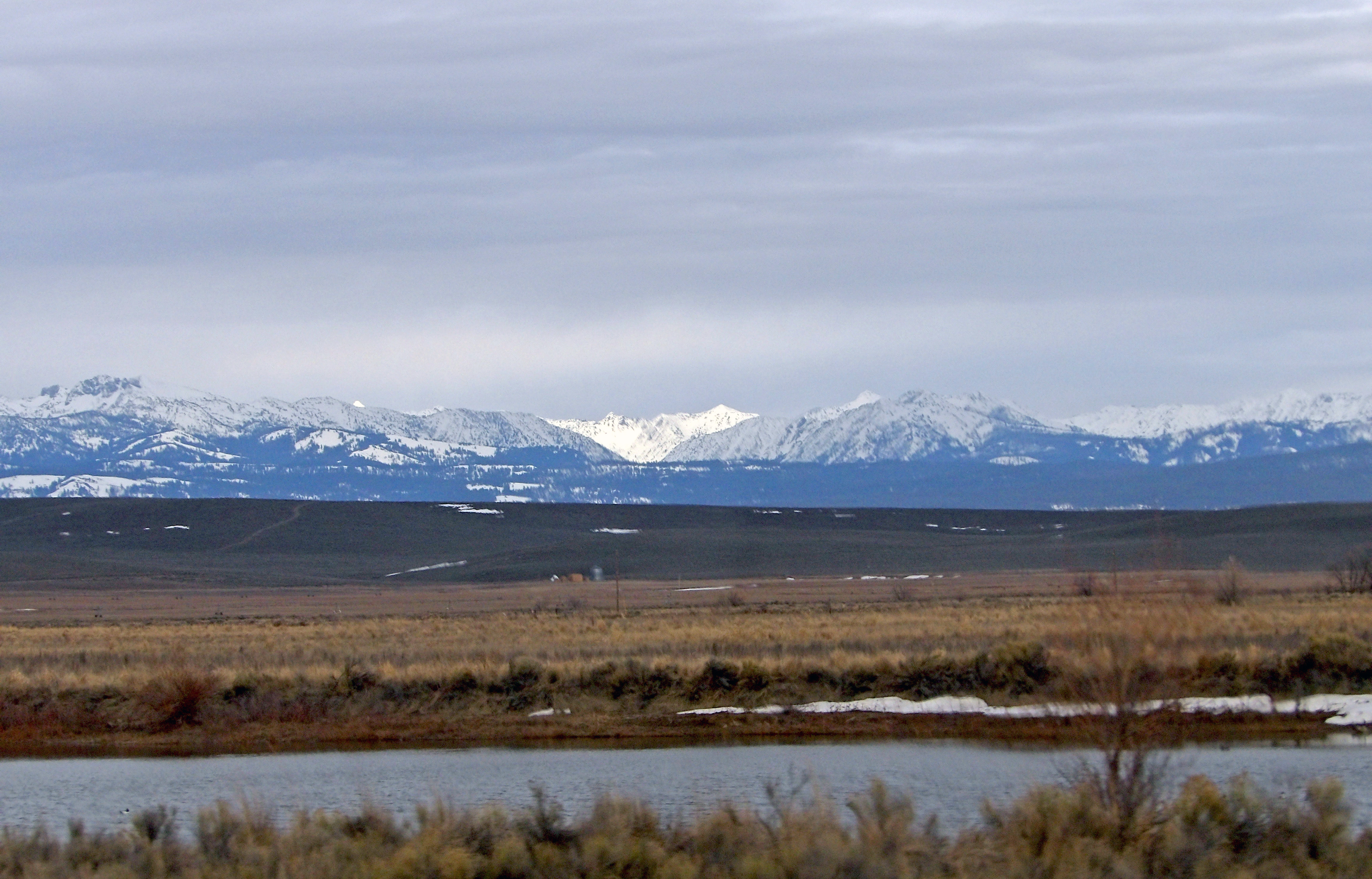
The Wallowa Mountains off away to the northeast seen from I-84. |
Typical landscape between Baker City and La Grande, Oregon. |
The Blue Mountains rise up behind La Grande, somewhat obscured by rain. |
|
 |
 |
 |
 |
|
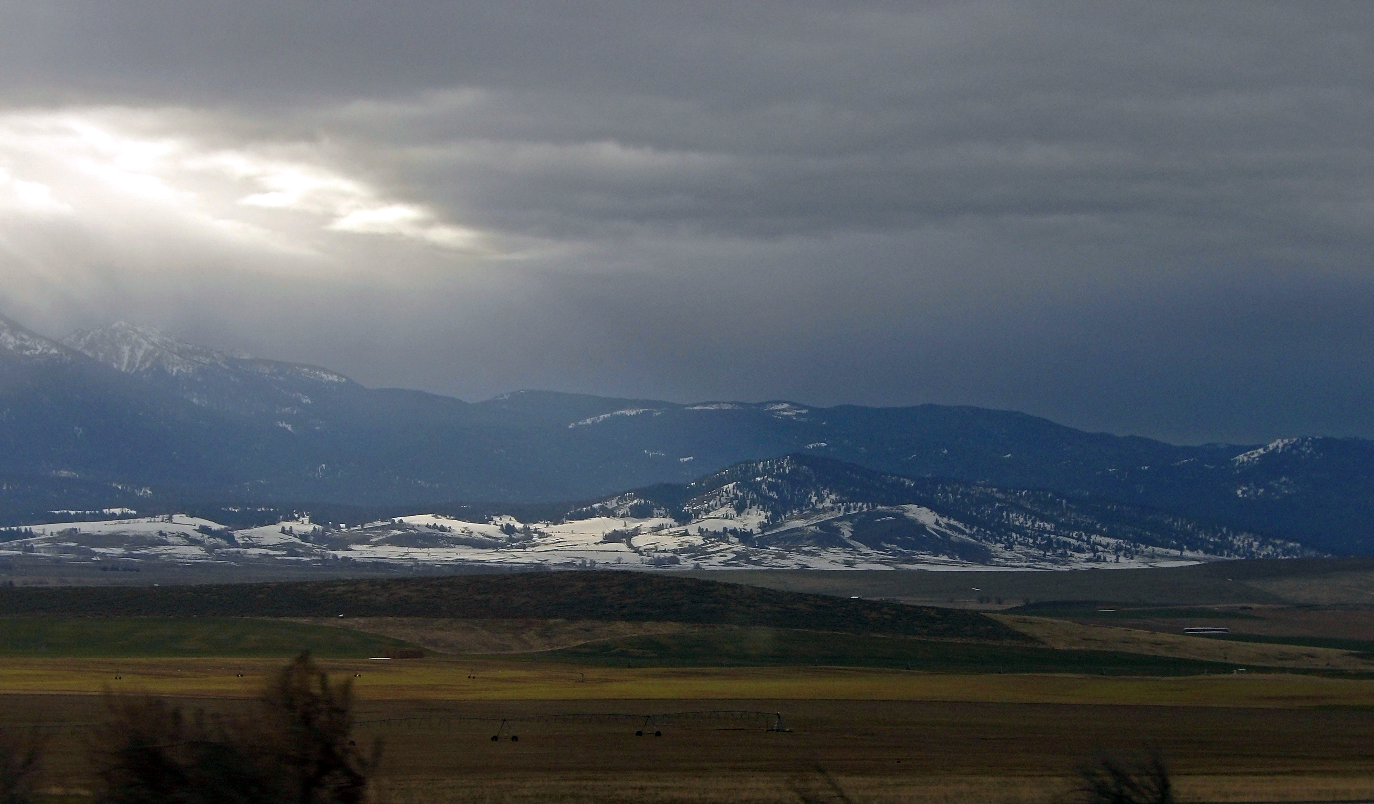
Dramatic light and clouds with rain over the Blue Mountains near La Grande, Oregon |
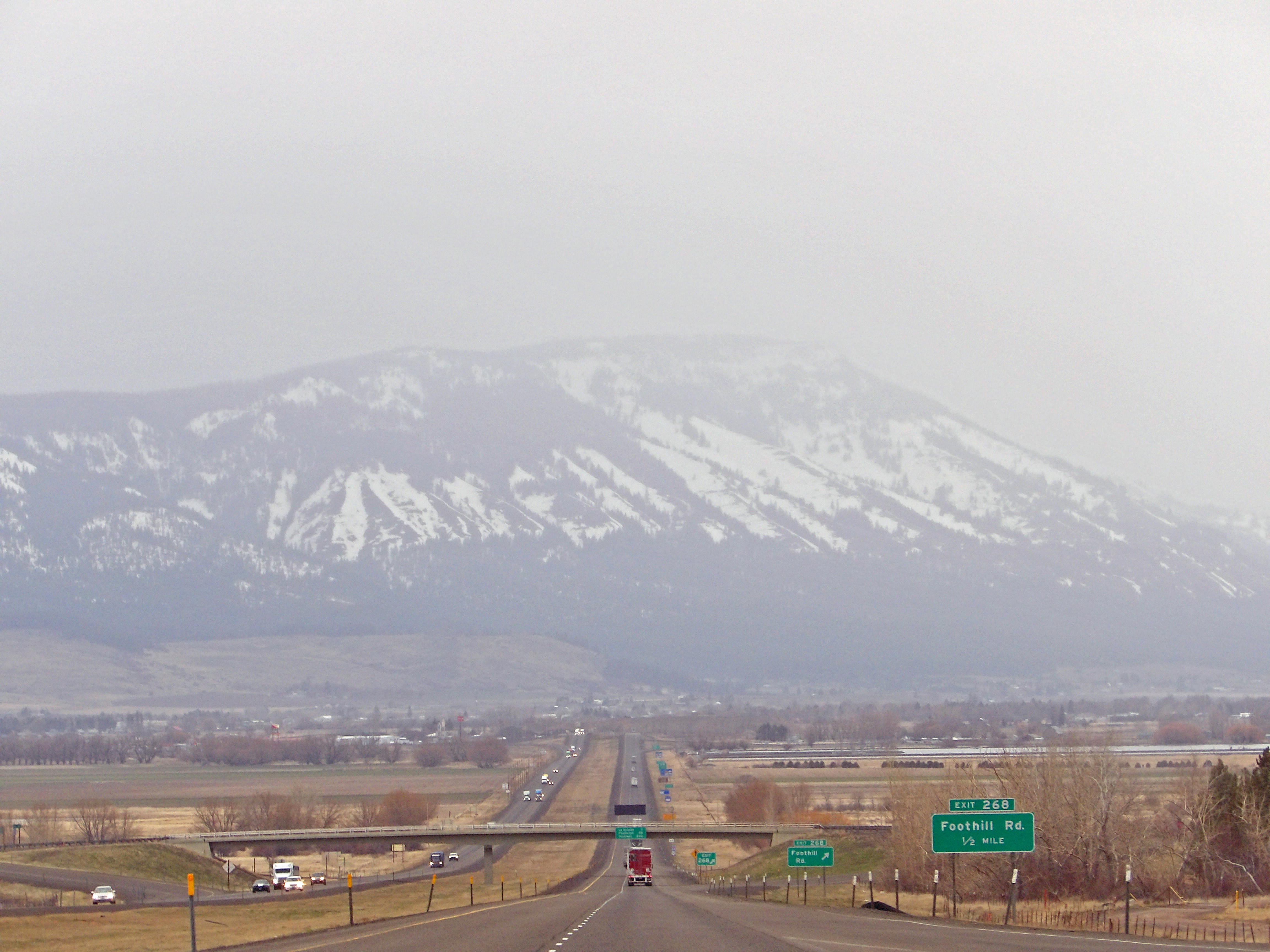
I-84 in eastern Oregon passes through a series of high hills and mountains between flat valleys and plains. |
The Blue Mountains between La Grande and Pendleton are frequently subject to snow or rain. |
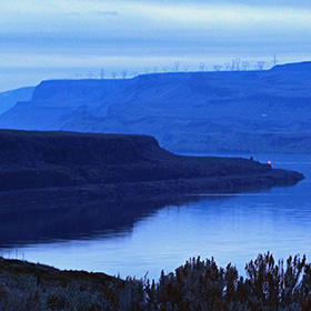
It was twilight as I came along the Columbia River, and quite dark when I entered the Columbia Gorge. |
|
 |
 |
 |
 |
|
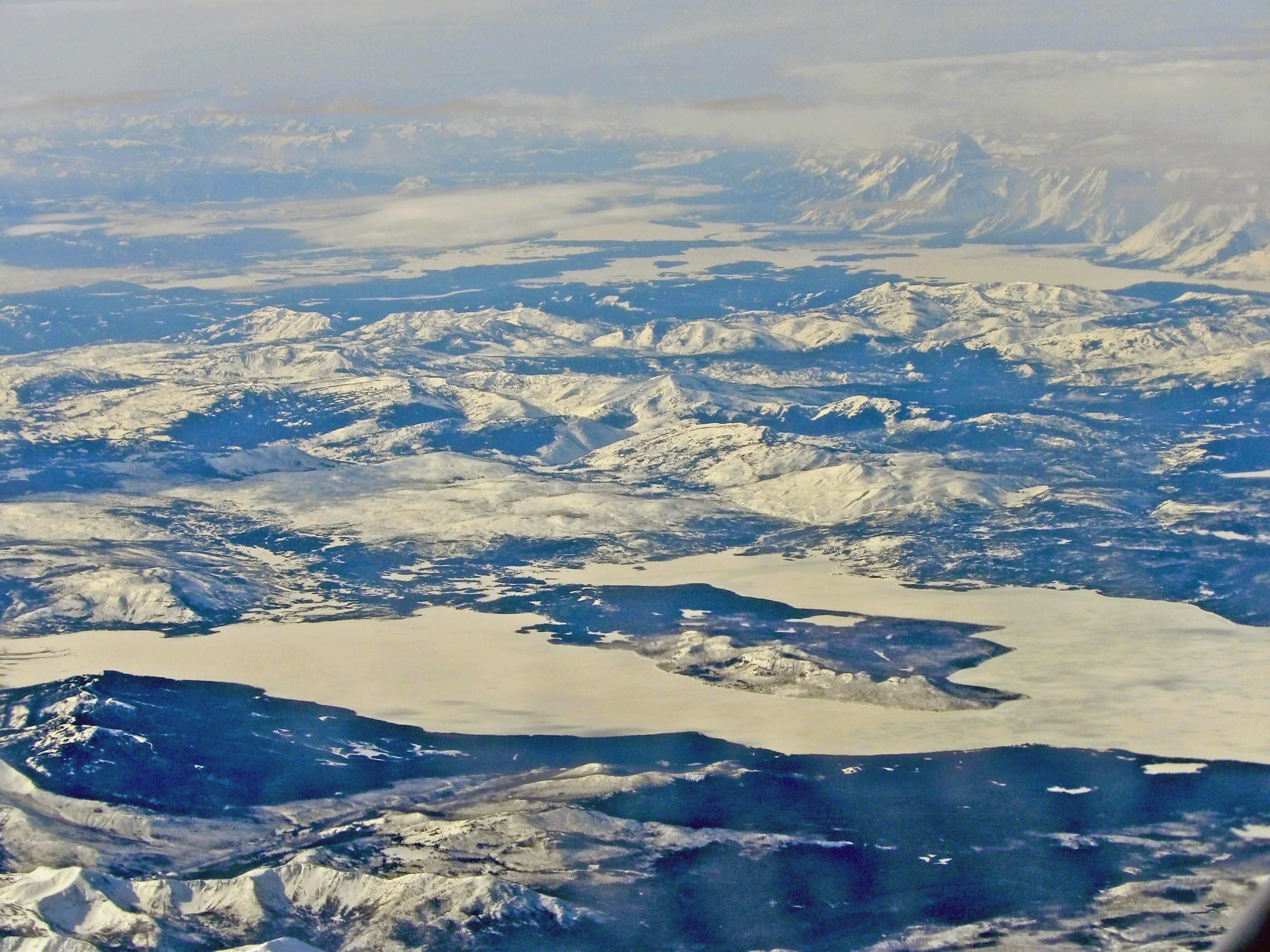
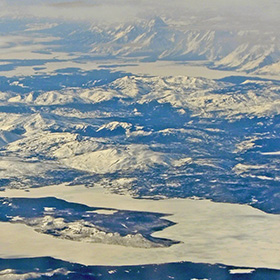
Looking down from my flight to Saint Louis I saw Lake Yellowstone and the Teton Mountains in the distance. |
We visit my sister in Salem. Here I am with her in her home. |
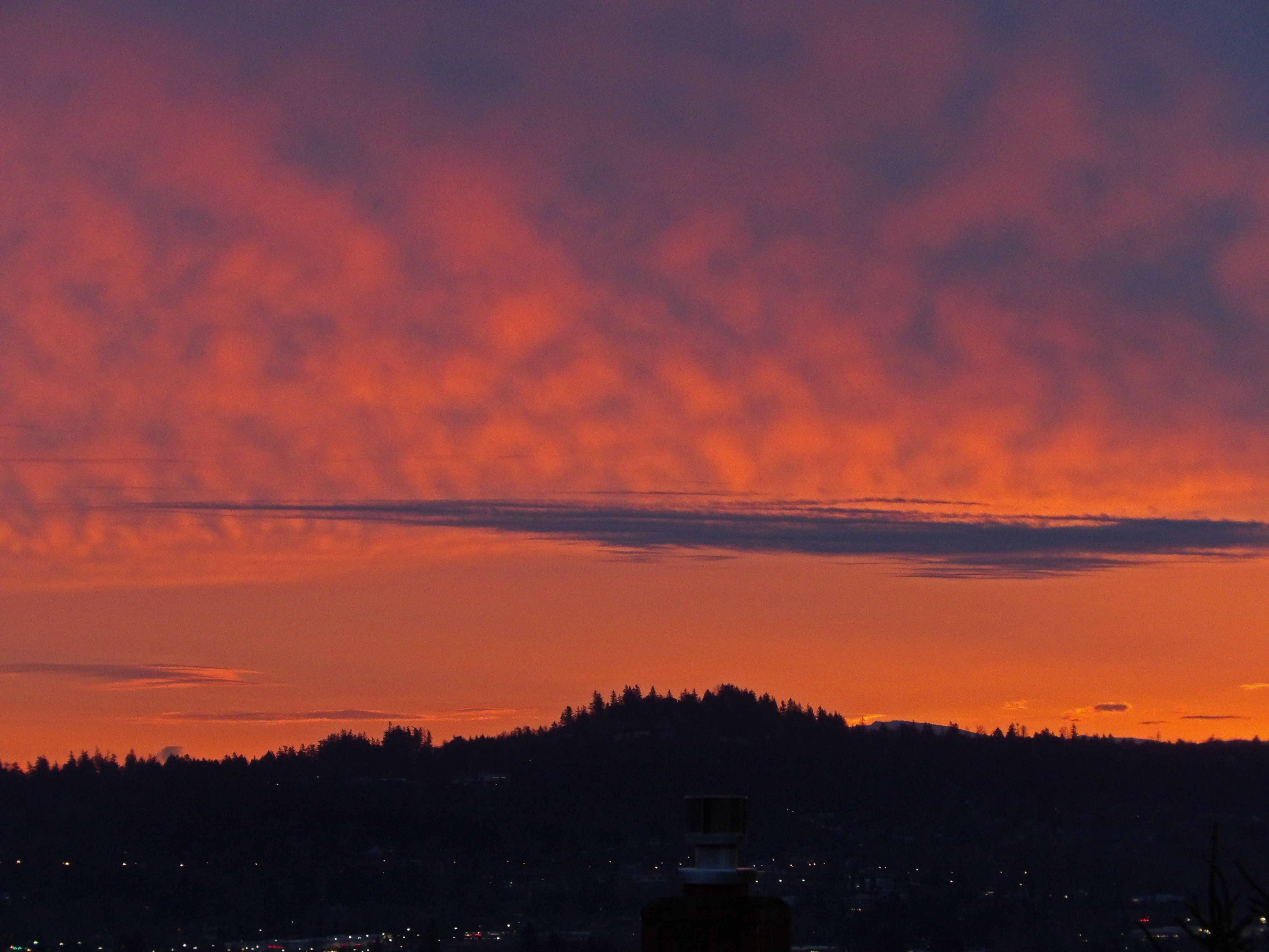
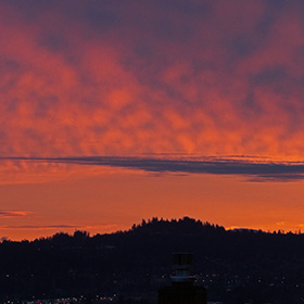
Dawn from Bull Mountain in Tigard. I got up before dawn for breakfast. |
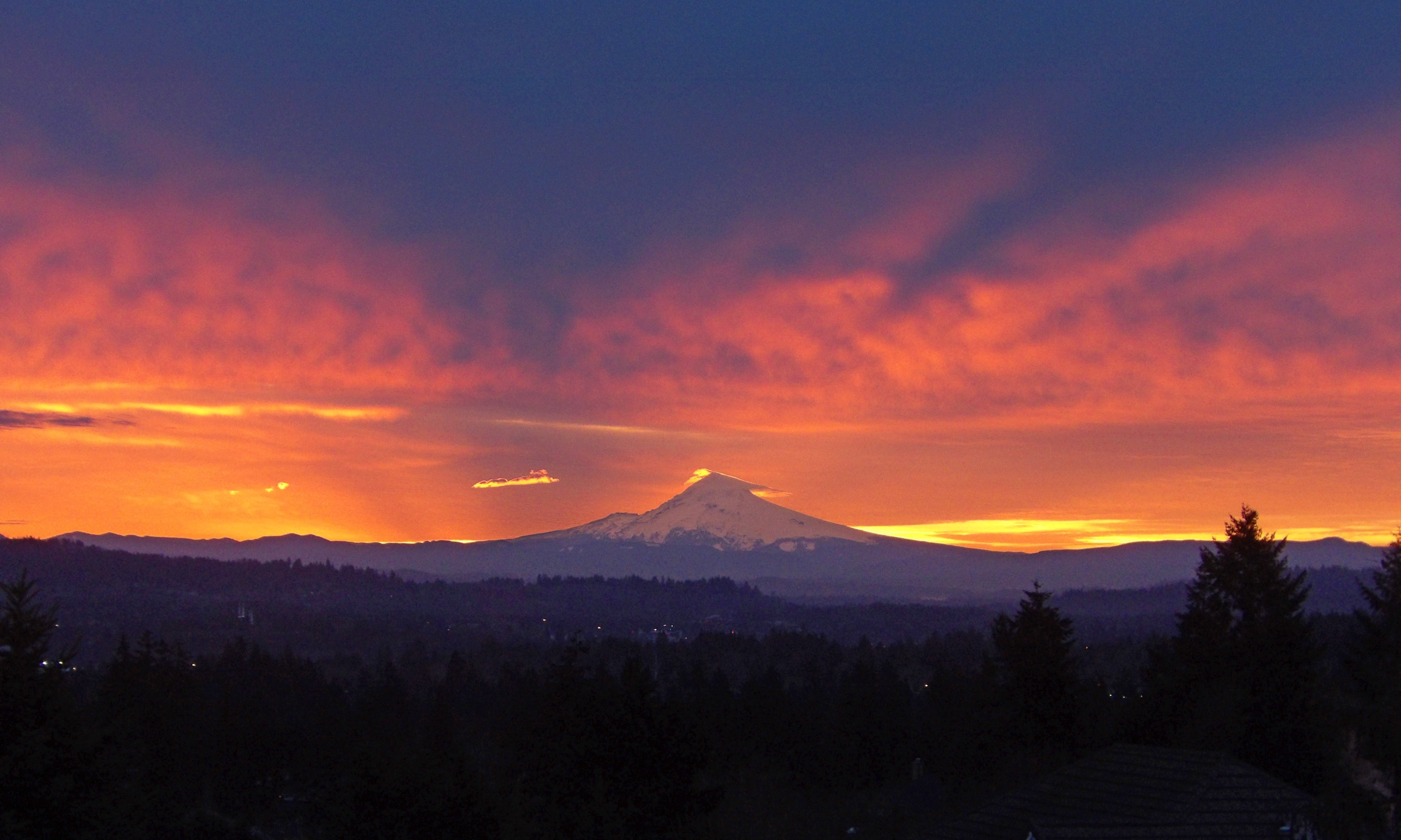
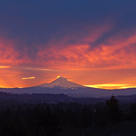
The dawn light behind Mount Hood. |
|
 |
 |
 |
 |
|
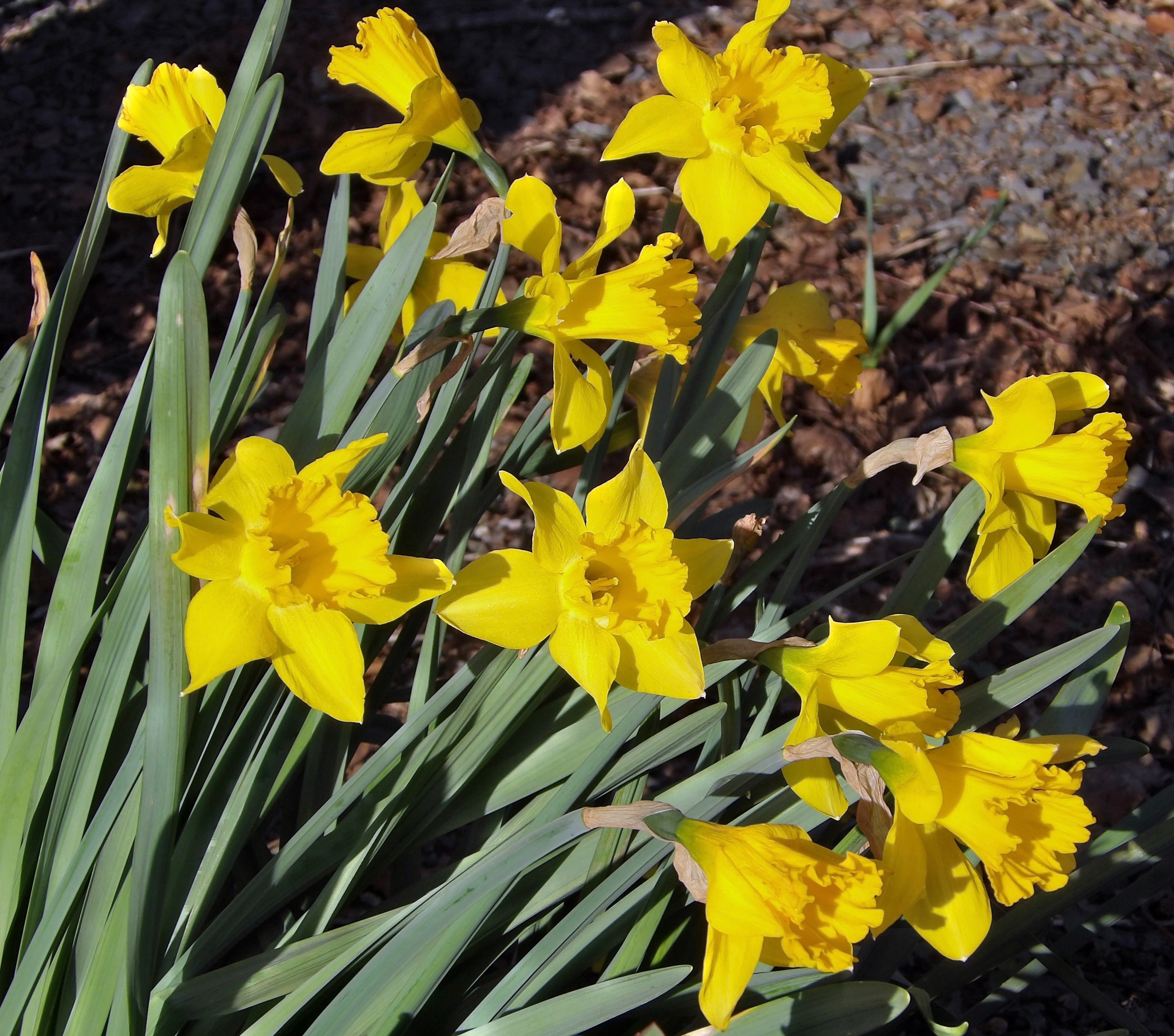
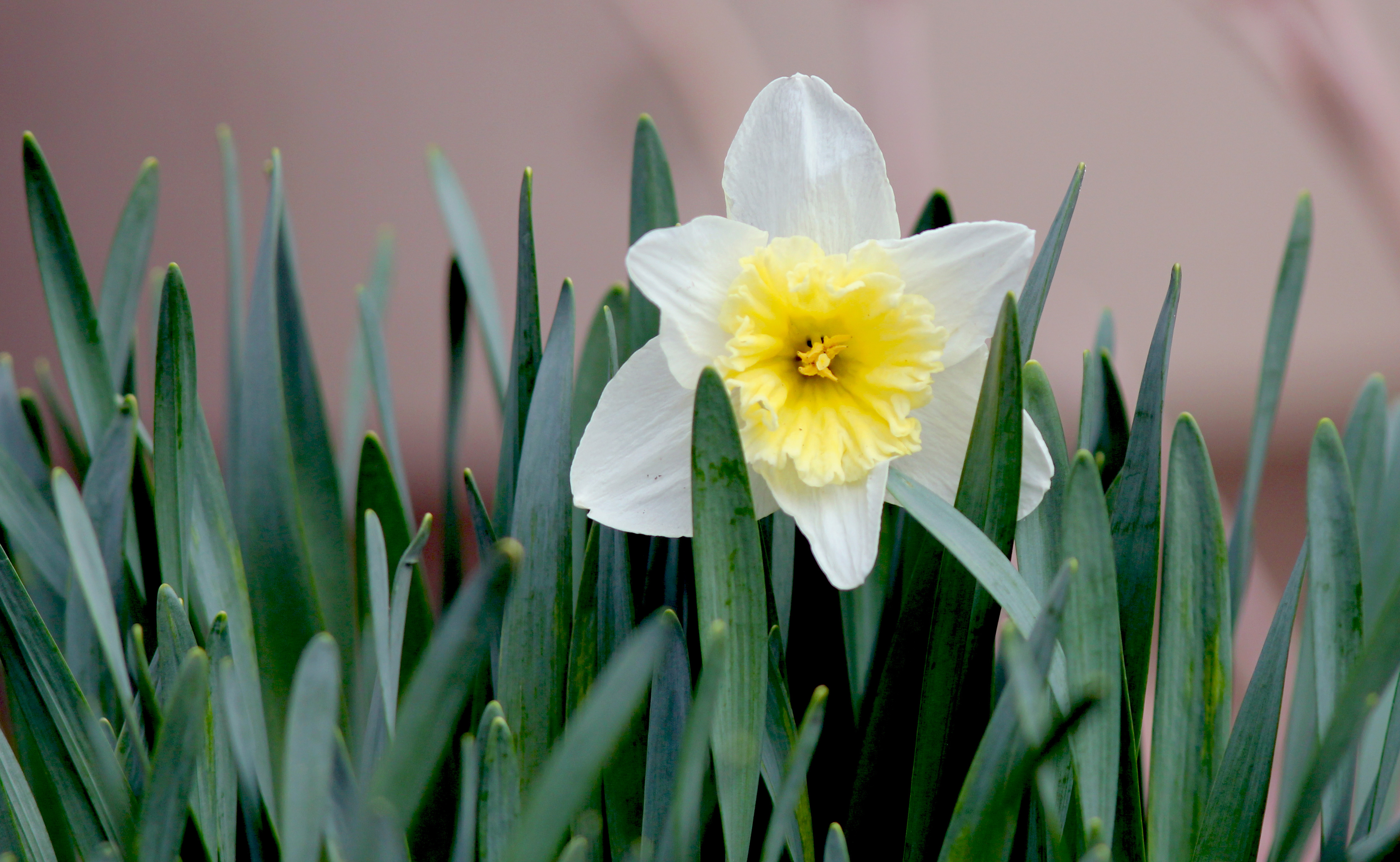
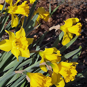
Daffodils at Stephens Farm on Grand Island. |
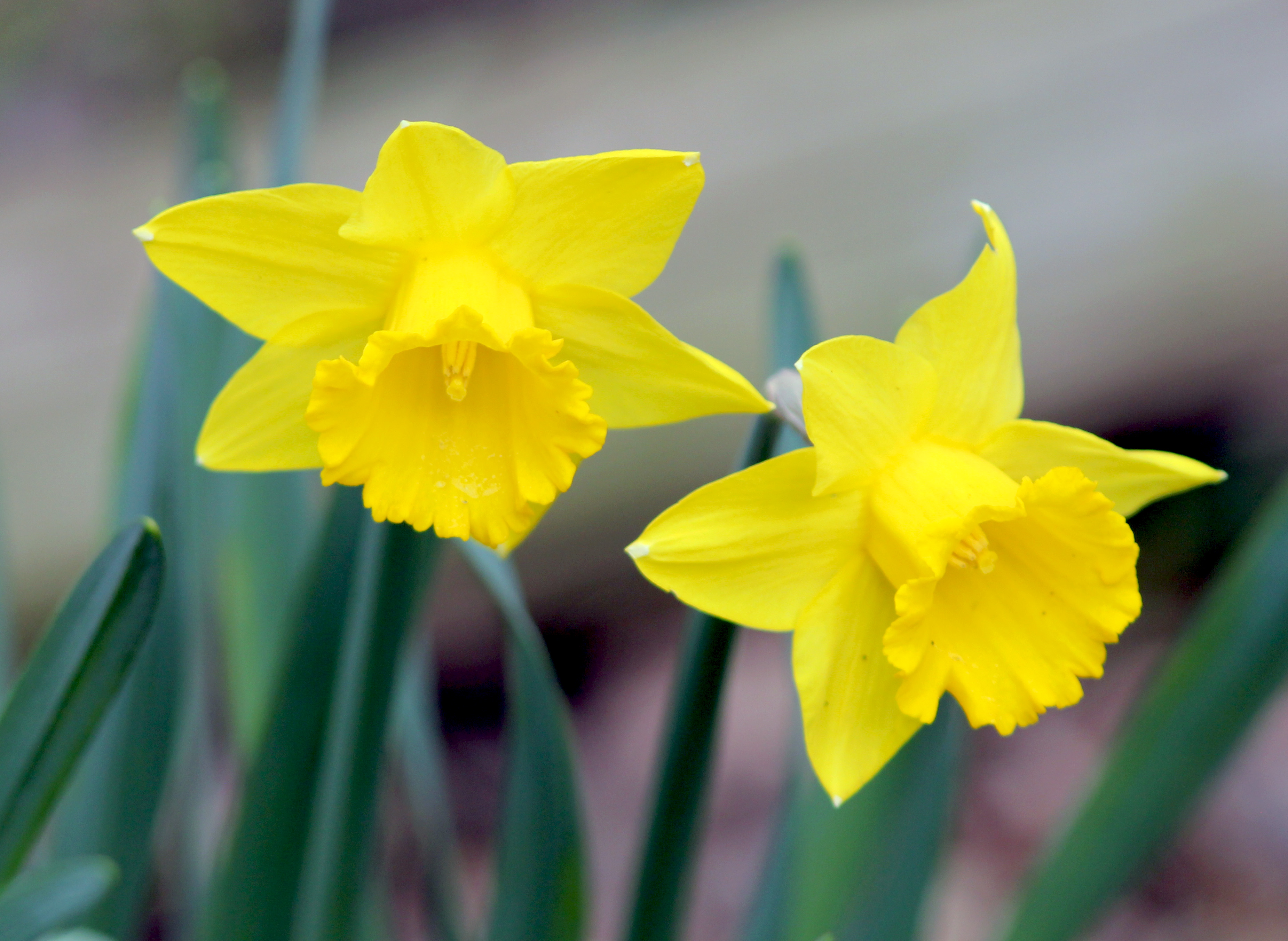
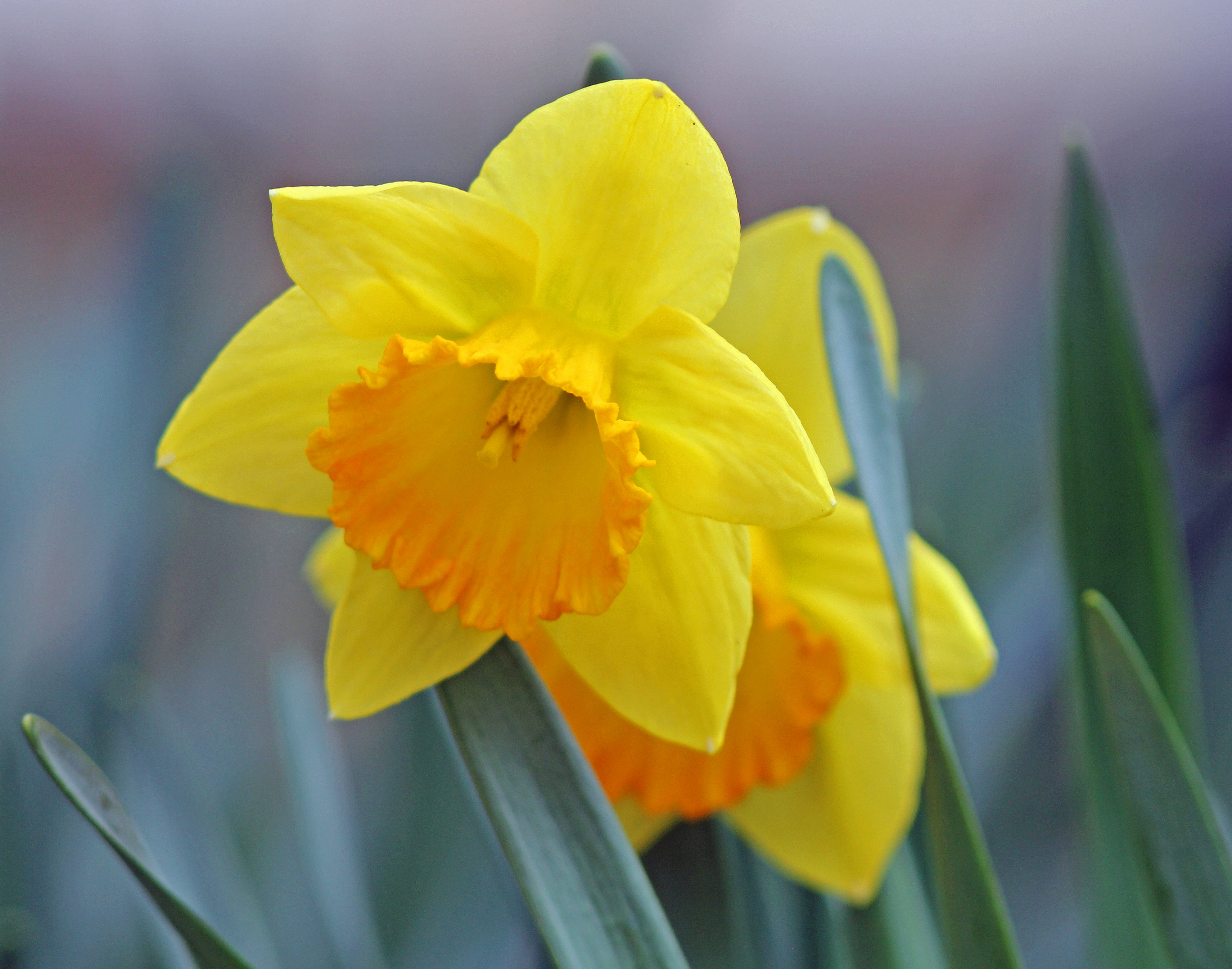
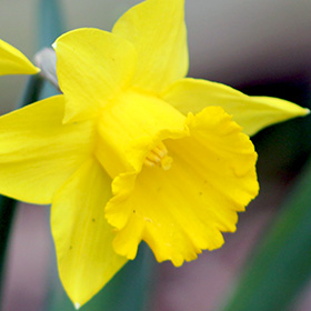
Daffodil in our backyard. |
Another daffodil in our backyard. |
One of several daffodils blooming in our backyard. |
|
 |
 |
 |
 |
|
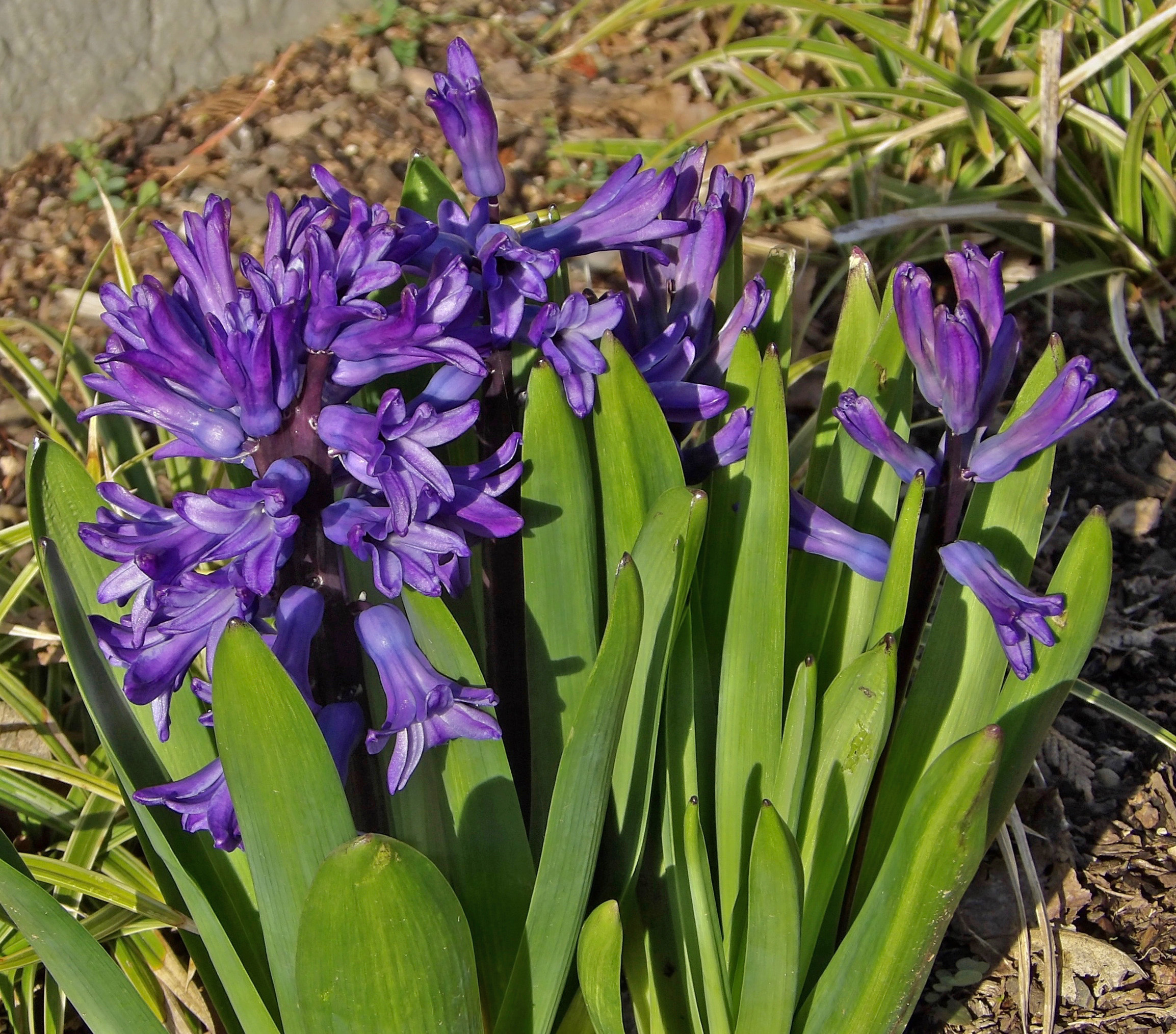
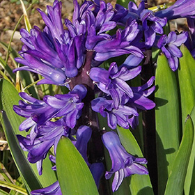
Hyacinths on Grand Island |
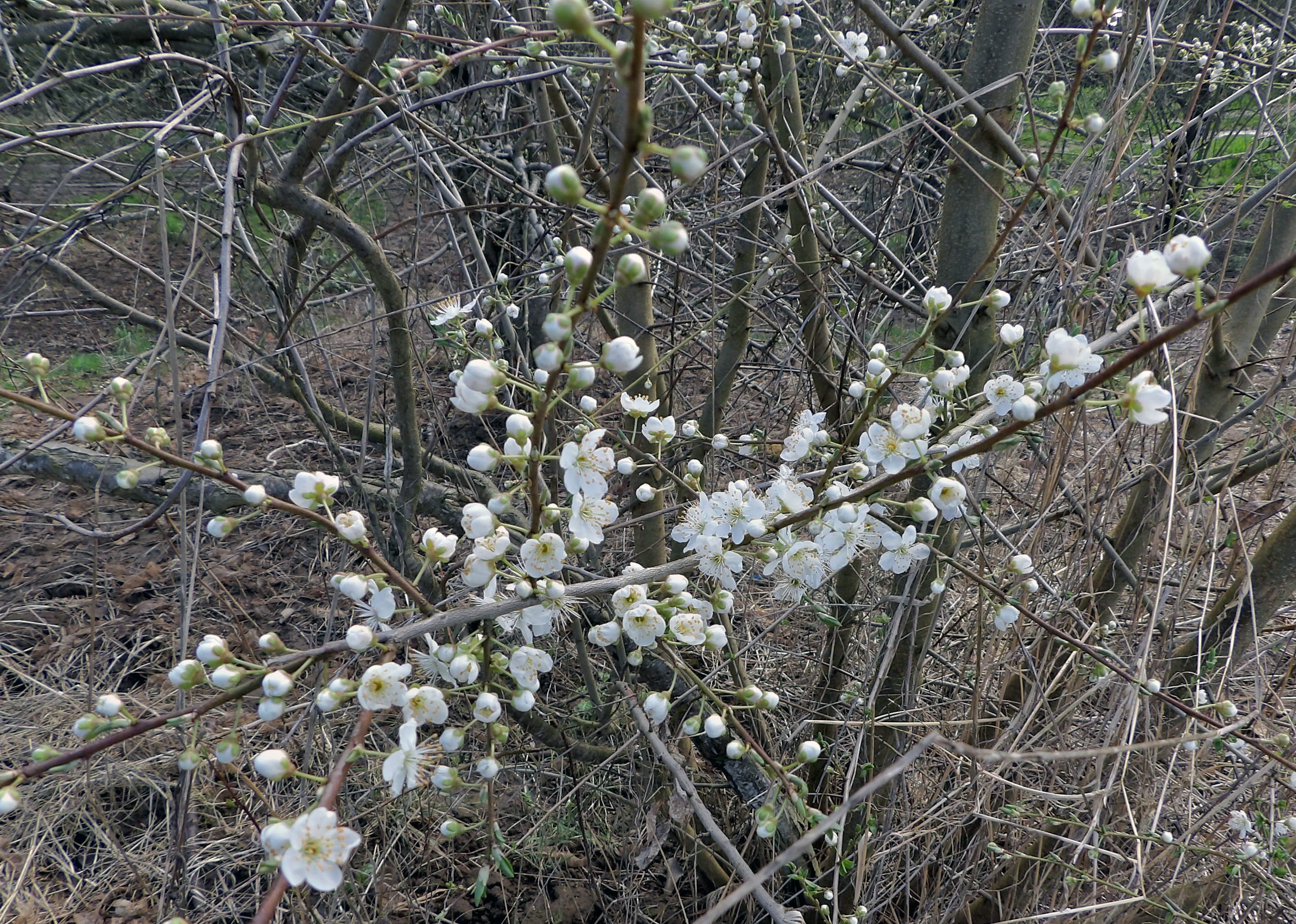
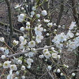
Pear blossoms on the farm. |
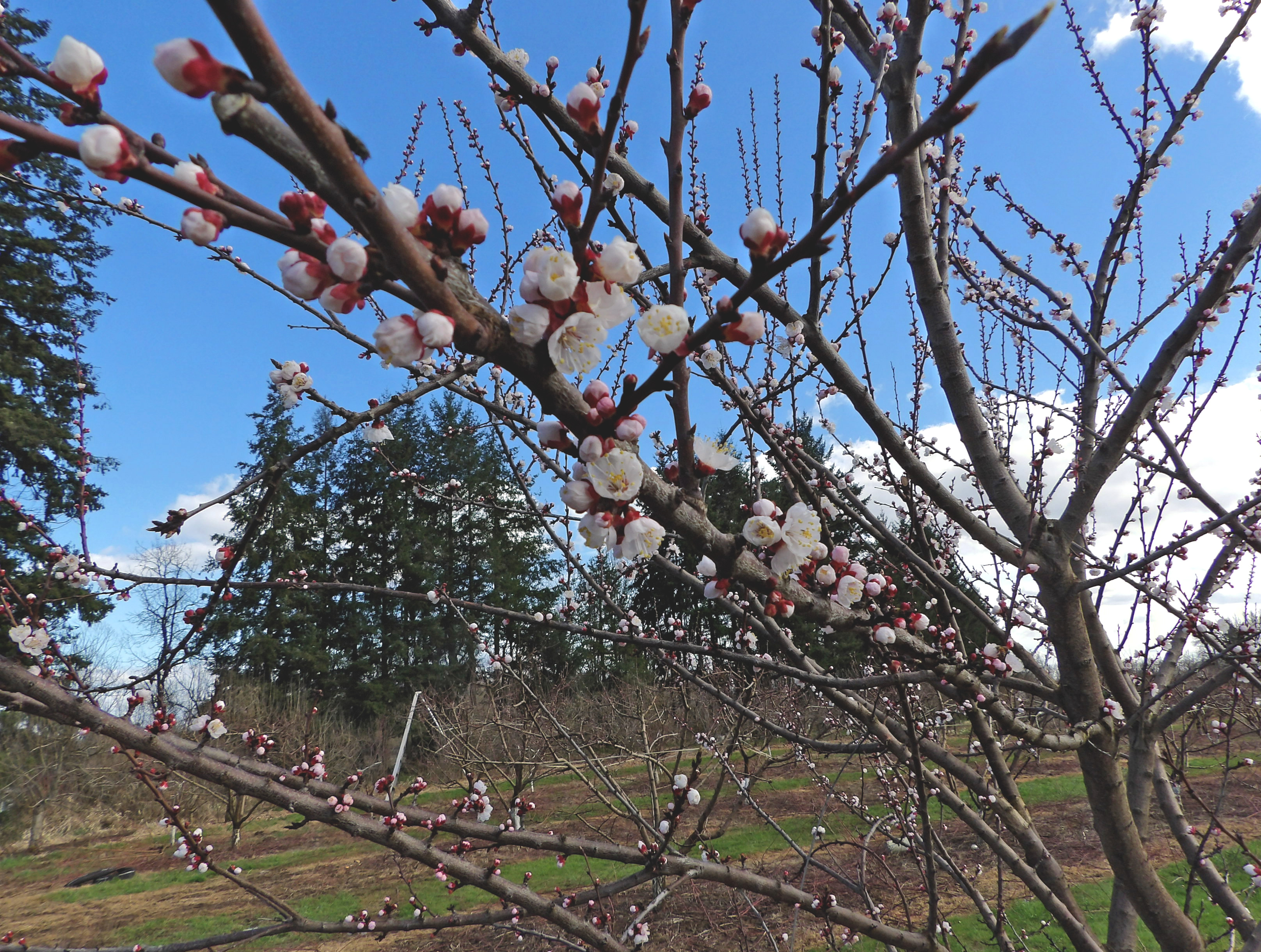
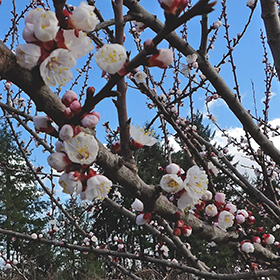
Apricot blossoms on the farm. |
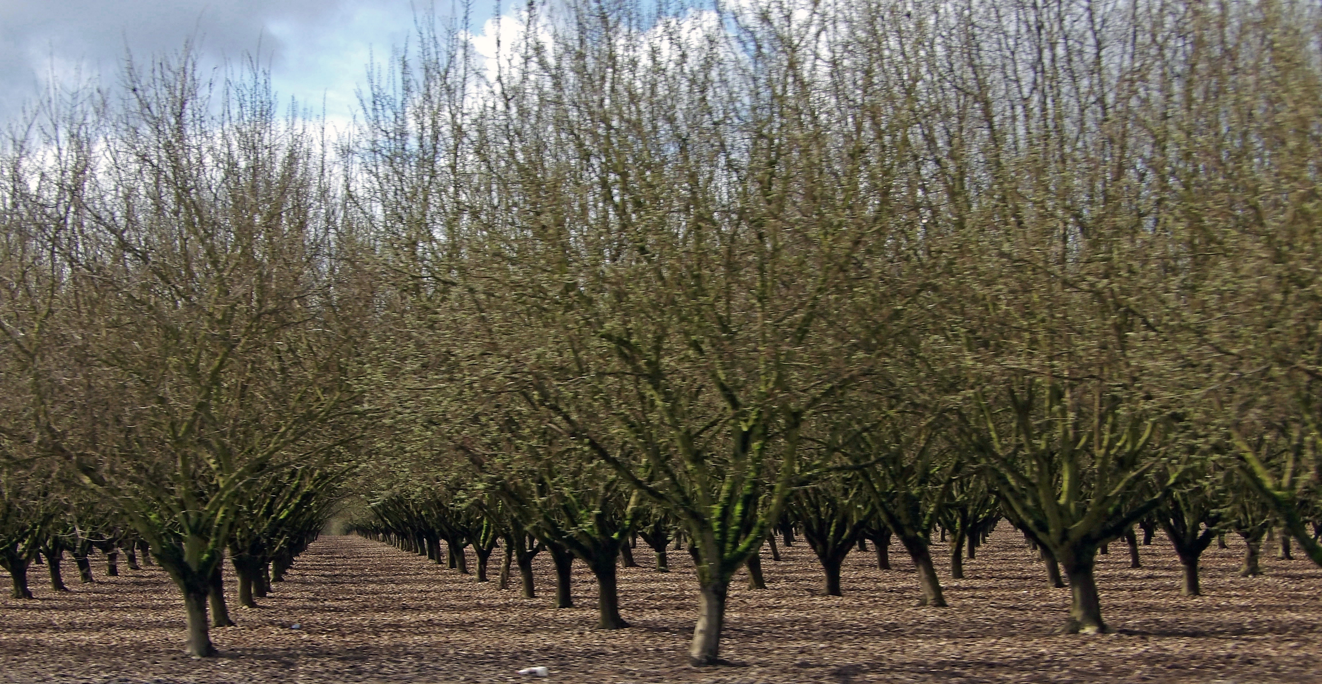
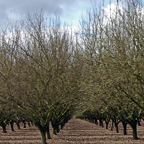
Hazelnut orchard. |
|
 |
 |
 |
 |
|
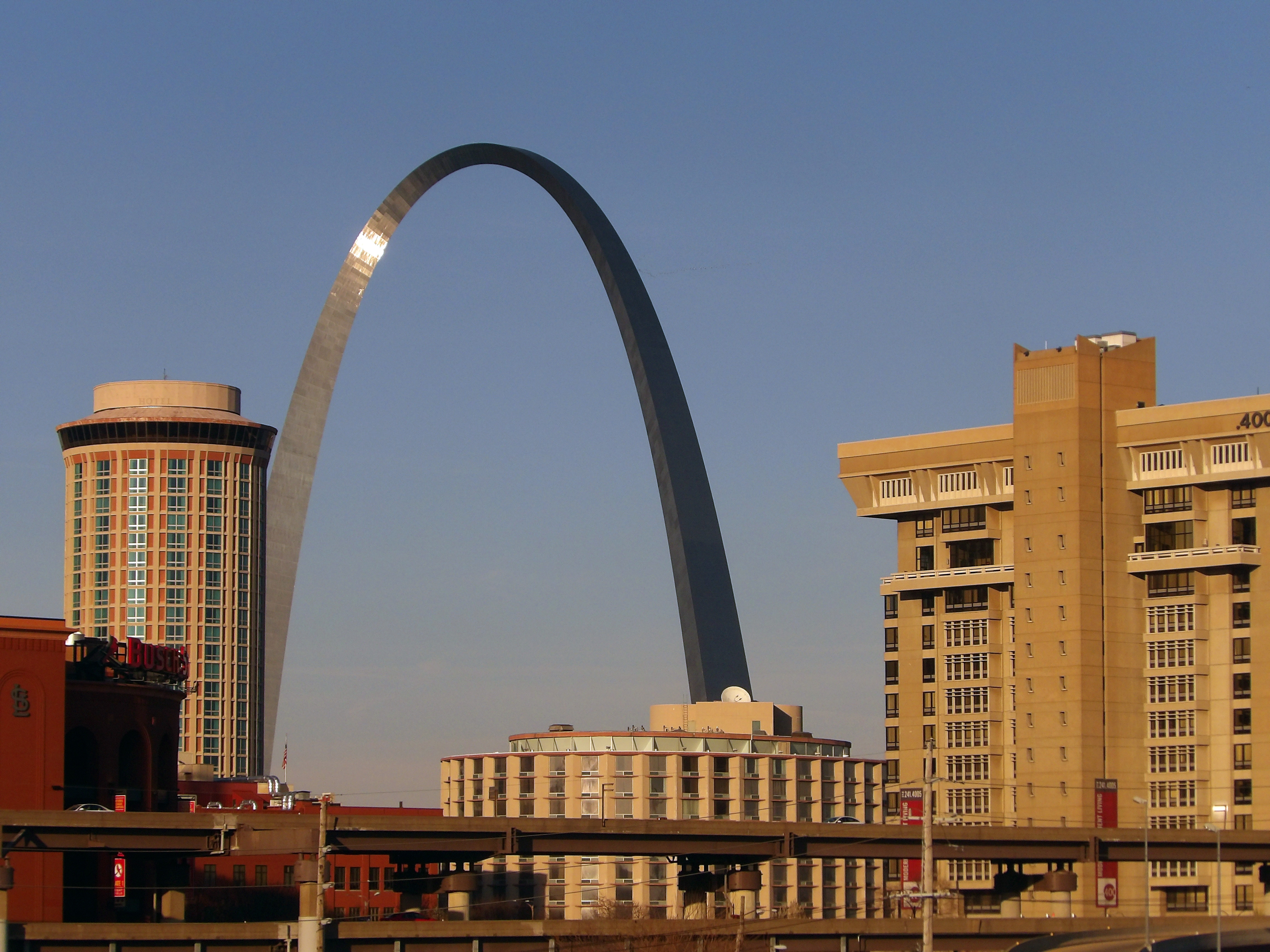
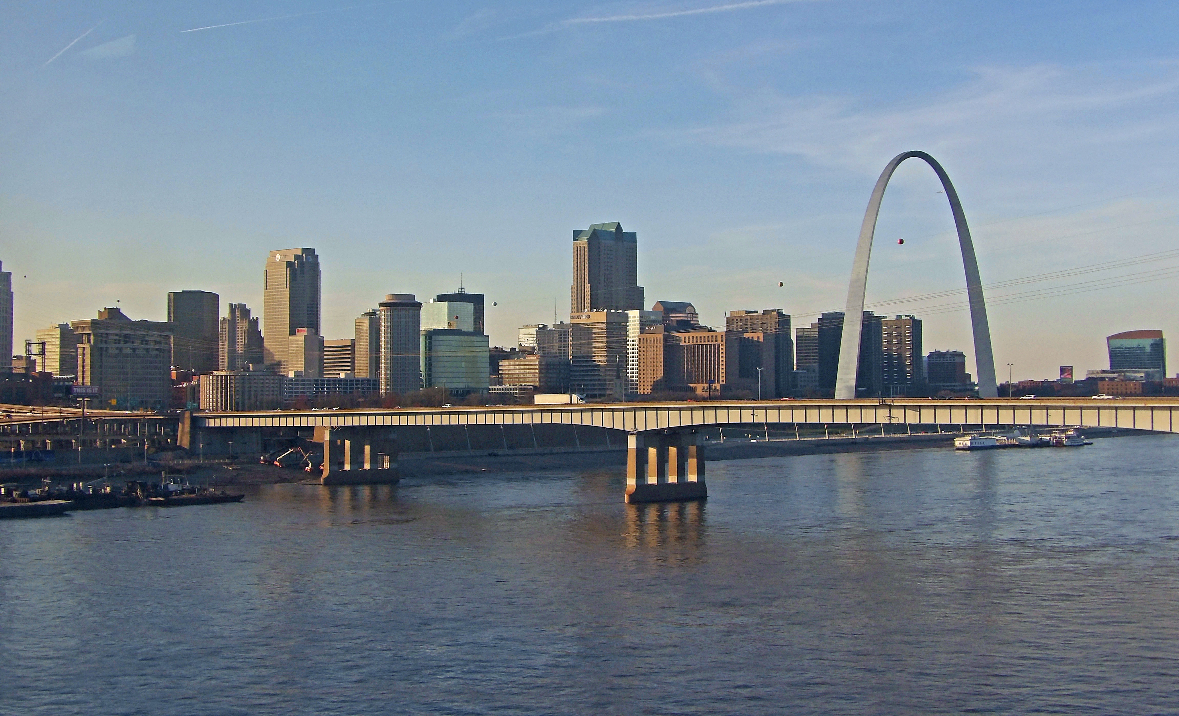
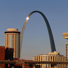
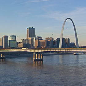
Saint Louis. |
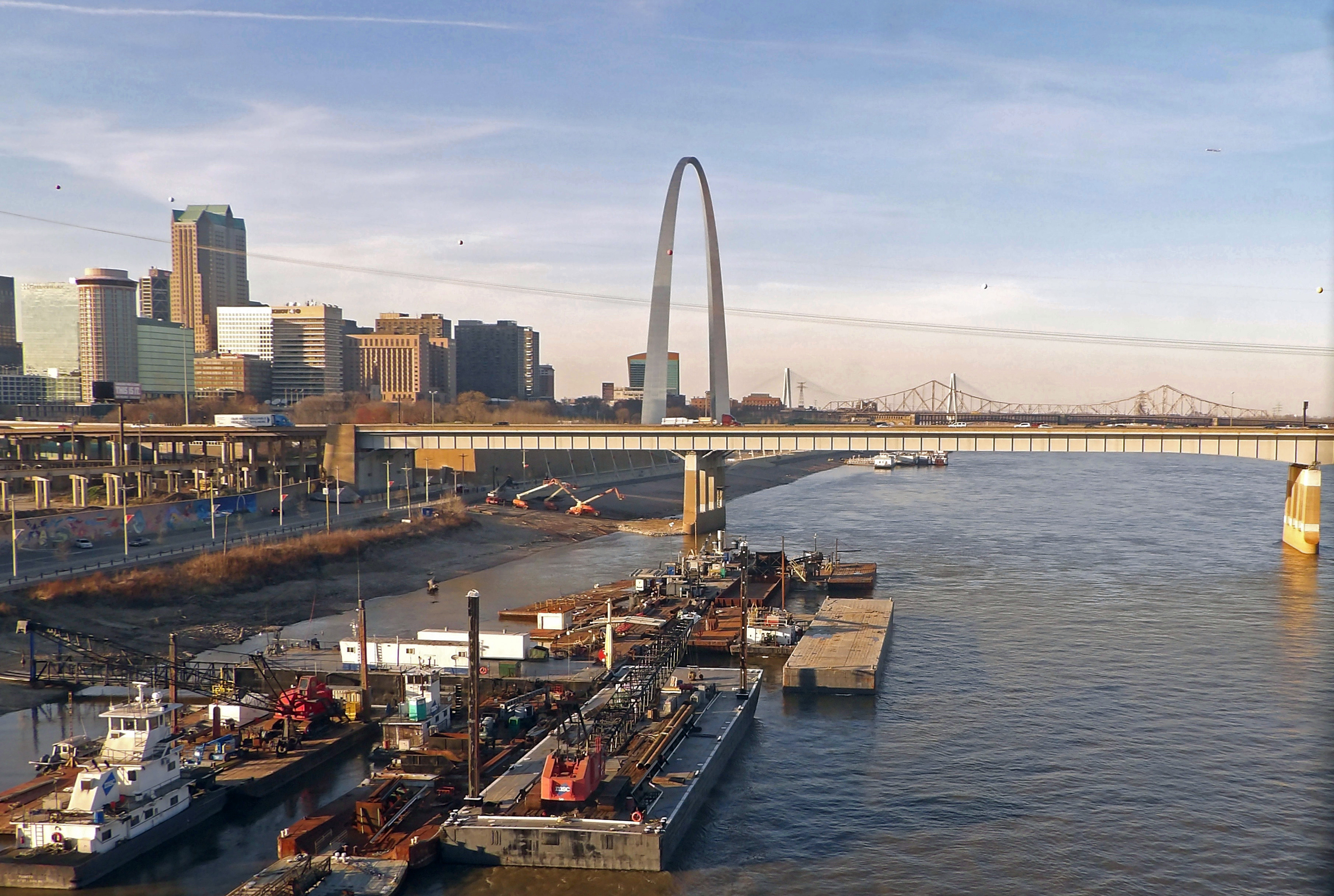
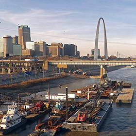
Saint Louis as seen from the Amtrak Train as it starts to cross the river. |
Looking across the Mississippi toward Saint Louis. |
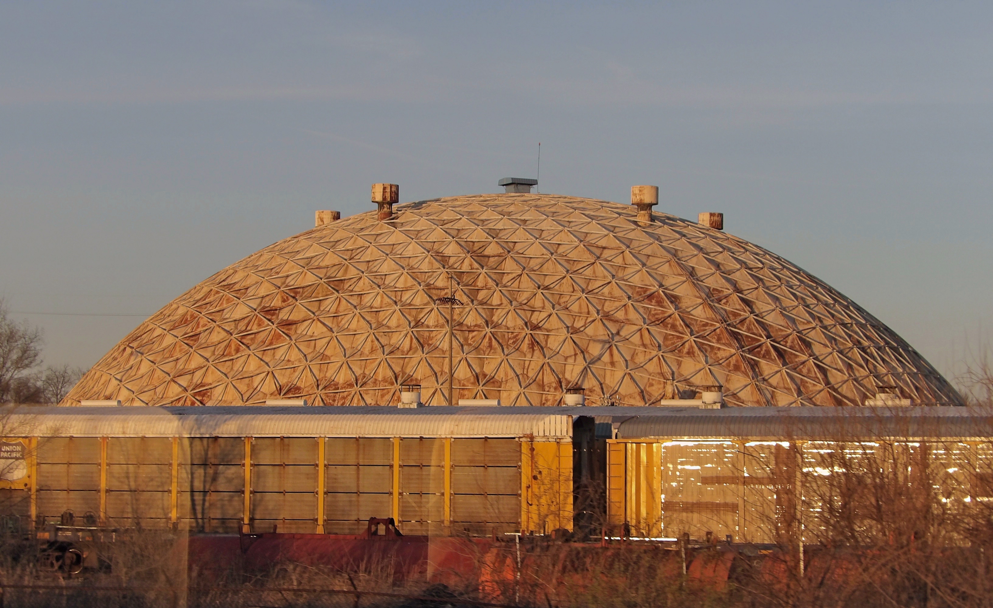
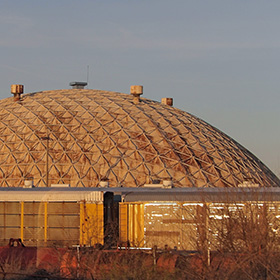
Geodesic dome of GBW Mechanical Services, Wood River, Illinois. |